GIS mapping for CRE professionals - AI tools
-
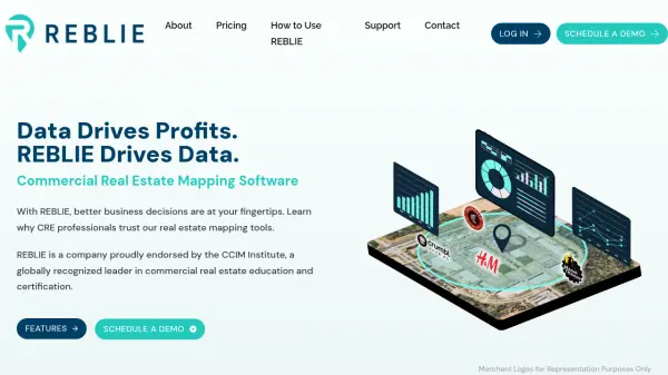 REBLIE Commercial Real Estate Mapping Software with AI-Powered Insights
REBLIE streamlines commercial real estate mapping by combining robust demographic data, GIS overlays, and AI-enhanced insights for agents, brokers, and CRE professionals.
- Paid
-
 Carta Maps Build Custom Interactive Maps with Ease
Carta Maps is an AI-powered platform for creating custom interactive maps with intuitive styling tools, real-time collaboration, and advanced features like geocoding, boundary finding, and drawing tools.
- Freemium
- From 9$
-
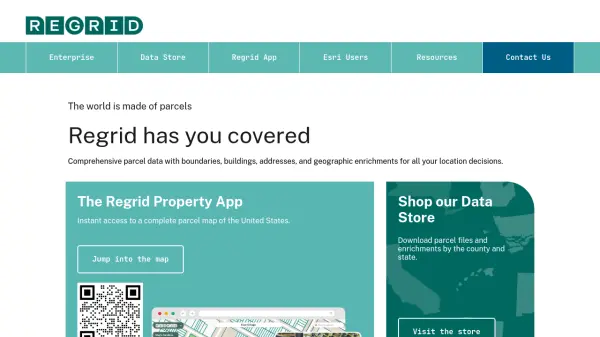 Regrid Comprehensive parcel data with boundaries, buildings, addresses, and geographic enrichments for all your location decisions.
Regrid provides comprehensive parcel data for the U.S. and Canada, including boundaries, ownership, addresses, and geographic insights, accessible via app, data store, API, and enterprise solutions.
- Freemium
-
 Terrain Navigator Pro Generating work flow efficiency and increasing return on investment for today’s mapping professionals
Terrain Navigator Pro is a comprehensive mapping platform that combines topographic maps and aerial photos with powerful mapping tools for creating, editing, and synchronizing map projects across desktop, web, and mobile devices.
- Free Trial
-
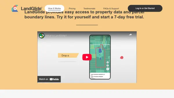 LandGlide Comprehensive Parcel Data and Property Line Mapping Anywhere
LandGlide offers advanced parcel data and property line mapping with GPS location, providing access to over 157 million U.S. parcel records on desktop and mobile devices.
- Freemium
- From 10$
-
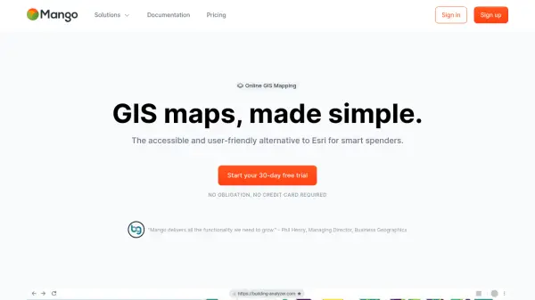 MangoMap Powerful, Affordable Online GIS Mapping for Professionals
MangoMap is an easy-to-use, cost-effective online GIS mapping platform designed for professionals who need robust mapping capabilities without the complexity or high licensing fees of traditional solutions.
- Paid
- From 79$
-
 Mapline Geo-Powered Analytics and Mapping for Business Success
Mapline is a geo-intelligent analytics platform that empowers businesses to visualize, optimize, and manage location-based data through powerful mapping, routing, BI, and scheduling solutions.
- Free Trial
-
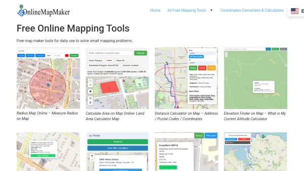 Online Map Maker Free, Easy-to-Use Online Mapping and Geodata Tools
Online Map Maker provides a suite of free web-based mapping tools for calculating areas, distances, elevations, zip codes, and more through an intuitive interface. The platform supports geographic data visualization, conversion, and analysis for students, professionals, and planners.
- Free
-
 Maply Transform location data into powerful insights with intuitive mapping
Maply is an intuitive online mapping application that helps businesses and professionals visualize and analyze geospatial data through heat maps, network maps, route optimization, and other advanced mapping features.
- Freemium
- From 15$
-
 PolicyMap Comprehensive Mapping & Data Analytics For Smarter Decision-Making
PolicyMap is a cloud-based platform offering extensive data mapping, visualization, and analytics tools, empowering users to make impactful, data-driven decisions across sectors such as government, non-profit, finance, academic, and healthcare.
- Contact for Pricing
-
 Geospatial Analytics Real Estate Decision Intelligence Software
Geospatial Analytics delivers advanced real estate management technologies and analytical platform solutions, enabling portfolio optimization and informed decision-making through data-driven insights.
- Contact for Pricing
-
 NextGIS All-in-one GIS platform for maps and geodata
NextGIS provides comprehensive GIS solutions with web, mobile, desktop, and server tools for creating, managing, and sharing spatial data and interactive maps.
- Contact for Pricing
-
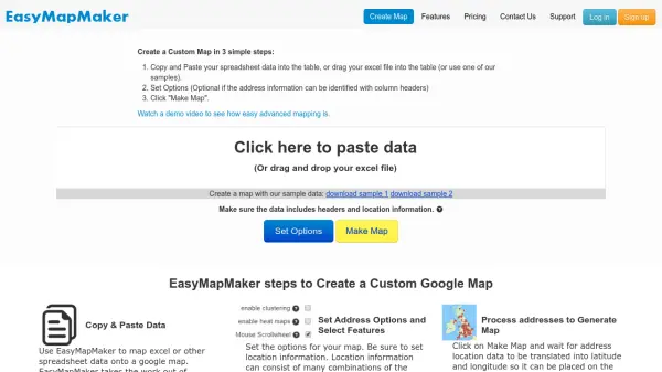 EasyMapMaker Create Custom Google Maps from Spreadsheet Data in Minutes
EasyMapMaker transforms spreadsheet data into interactive Google Maps with automatic geocoding, clustering, and heat maps for data visualization and analysis.
- Freemium
- From 29$
-
 Atlist Effortless custom Google Maps creator for web and business.
Atlist is a user-friendly platform for designing, sharing, and embedding custom Google Maps with advanced features for businesses, websites, and data visualization. Build interactive maps without coding or Google Maps API keys required.
- Freemium
- From 14$
-
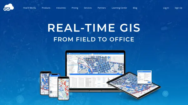 GIS Cloud Real-time GIS: From Field to Office
GIS Cloud is a fast and powerful online GIS platform for operations management, enabling field data collection, map editing, and real-time team collaboration across industries.
- Paid
- From 15$
-
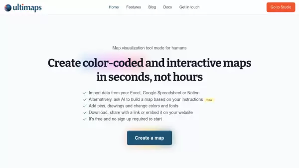 Ultimaps Map visualization tool made for humans
Ultimaps is an intuitive map visualization platform that allows users to create color-coded and interactive maps instantly by importing data from Excel, Google Spreadsheet, or Notion, with AI-assisted map creation capabilities.
- Freemium
- From 17$
-
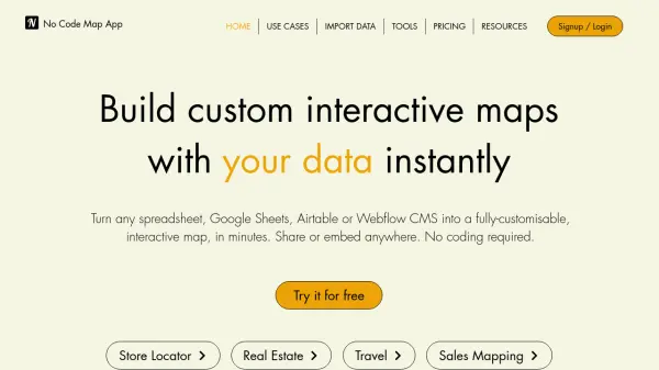 No Code Map App Build custom interactive maps with your data instantly
No Code Map App is an AI-powered platform that transforms spreadsheets, Google Sheets, Airtable, or Webflow CMS into fully customizable, interactive maps in minutes without coding, featuring automatic data sync and AI map styling.
- Freemium
- From 24$
-
 YouMap Create Social, Customizable Maps in Real-Time
YouMap is an interactive mapping platform that empowers users to create, customize, and share real-time maps on topics they care about, fostering community engagement and exploration.
- Free
-
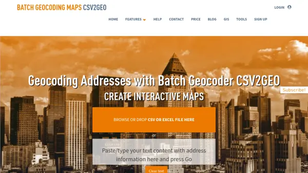 CSV2GEO Batch Geocoding, Reverse Geocoding, and Interactive Map Creation
CSV2GEO is an online tool for converting addresses to geographic coordinates (latitude/longitude) and vice-versa in bulk. It also enables users to create and publish interactive maps from their data.
- Freemium
-
 GeoComm GIS Solutions for Enhanced Emergency Response and Public Safety
GeoComm delivers advanced GIS mapping software and services designed to improve emergency response, school safety, and data management for public safety agencies and educational institutions.
- Contact for Pricing
-
 mapify.ai No-code platform to process real-time geospatial data and generate real-time insights
Mapify is a no-code platform that enables users to process real-time geospatial data, define business rules, and create interactive maps and applications for IoT and location-based solutions without coding.
- Free Trial
-
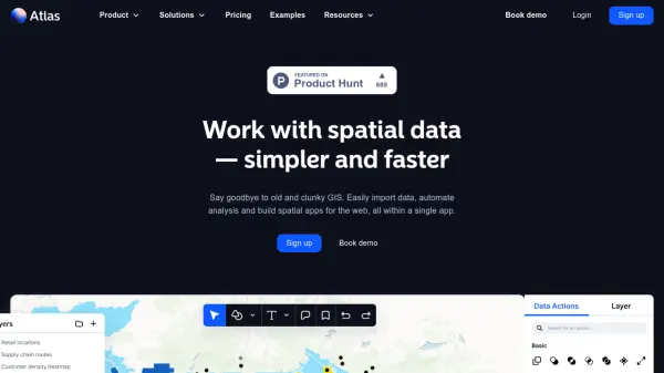 atlas.co Work with spatial data — simpler and faster
Atlas is a browser-based GIS platform designed to simplify the visualization, analysis, and building of spatial data workflows and web applications.
- Freemium
- From 23$
-
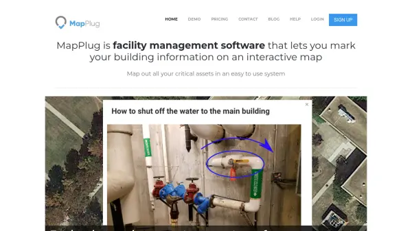 MapPlug Facility management software that lets you mark your building information on an interactive map
MapPlug is a cloud-based facility management software that enables users to document building assets, floor plans, and emergency procedures on interactive maps for improved property management and emergency response.
- Freemium
- From 49$
-
 MapSVG The best WordPress map plugin with infinite possibilities
MapSVG is a powerful WordPress mapping plugin that transforms vector images, Google Maps overlays, and JPEG/PNG images into interactive maps with custom data visualization and database integration.
- Freemium
- From 8$
-
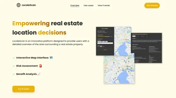 LocaleScan Empowering Real Estate Location Decisions
LocaleScan provides a detailed overview of areas surrounding real estate properties, utilizing AI to assess risks and benefits for informed decision-making.
- Free
-
 MapKit Embed Customizable Interactive Maps Without Coding
MapKit enables effortless embedding of interactive and customizable maps on any website, supporting multiple markers and flexible integration without coding expertise.
- Free Trial
- From 12$
Featured Tools
Join Our Newsletter
Stay updated with the latest AI tools, news, and offers by subscribing to our weekly newsletter.
Explore More
-
sales automation chat agent 50 tools
-
forex trading platform with automated trading 9 tools
-
AI automated software testing services 42 tools
-
free domain name checker 27 tools
-
productivity AI tools directory 51 tools
-
AI retail analytics platform 42 tools
-
customizable business dashboard software 21 tools
-
software development firms directory 16 tools
-
custom domain management tool 56 tools
Didn't find tool you were looking for?