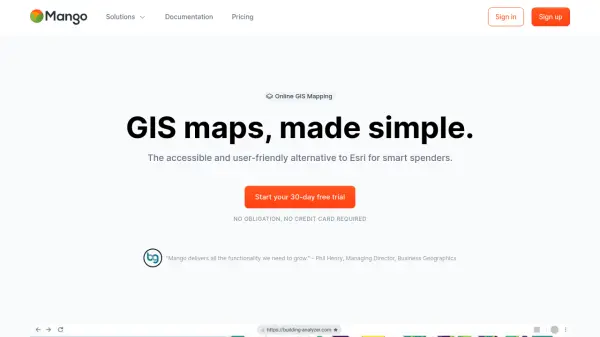
What is MangoMap?
MangoMap offers a streamlined online GIS mapping solution for professionals and organizations seeking powerful yet accessible geospatial analysis. The platform enables users to import, analyze, and visualize spatial data with advanced symbology, spatial analysis tools, and custom branding, all accessible through an intuitive web interface without the need for coding knowledge. Seamless integration with standard GIS formats, real-time team collaboration, and secure data controls make it an excellent alternative to traditional, high-cost GIS software.
With MangoMap, users can quickly build interactive, mobile-friendly maps, manage access rights, and share results instantly via secure links. The platform supports workflows ranging from dynamic reporting and public engagement to advanced spatial analysis and collaborative presentations, making it a versatile tool for GIS professionals in various sectors. Its flexible subscription options and 30-day free trial lower barriers to entry, ensuring a comprehensive mapping experience at a fraction of the industry standard cost.
Features
- Seamless GIS Integration: Works with standard GIS formats and software
- Advanced Spatial Analysis: Includes proximity, buffer, intersection, and powerful query tools
- Custom Branding: Allows use of custom logos, domains, and colors
- Role-Based Permissions: Granular access control for teams, clients, or public use
- Mobile-Friendly: Fully responsive and optimized for all devices
- Secure Collaboration: Real-time editing and sharing with team management
- High Performance Rendering: Optimized for large datasets and fast visualizations
- Vector and Raster Support: Handles shapefiles, GeoJSON, KML, and high-quality imagery
- Shareable Links: Instantly distribute interactive maps with access controls
- No-Code Map Creation: User-friendly design for professionals with or without development skills
Use Cases
- Creating and publishing interactive GIS maps for clients and stakeholders
- Visualizing and analyzing spatial data for fieldwork and survey projects
- Engaging the public with accessible, self-exploratory maps for community projects
- Dynamic reporting of GIS data for real-time project updates
- Collaborative editing and presentations for internal teams or client meetings
- Rapid prototyping of spatial concepts and map drafts
- Managing multiple GIS projects with centralized organization and secure access
FAQs
-
Does MangoMap integrate with existing GIS tools?
Yes, MangoMap seamlessly works with standard GIS formats and software, enabling easy integration into your current workflows. -
Do I need coding skills to use MangoMap?
No coding skills are needed. MangoMap is designed with an intuitive interface suitable for both seasoned GIS professionals and beginners. -
How secure is data stored on MangoMap?
MangoMap employs 256-bit encryption and secure data center practices to ensure your maps and data are protected at all times. -
Can I control who has access to my maps?
Yes, you can set precise access levels for teams, clients, or the public, allowing for secure and flexible sharing. -
Is there a free trial available?
Yes, MangoMap offers a 30-day free trial with full access to all features, and no credit card is required upfront.