
What is Carta Maps?
Carta Maps is a comprehensive mapping platform designed to simplify the creation of custom interactive maps. The tool offers intuitive styling capabilities that allow users to customize map appearances effortlessly, managing styles for entire maps, specific groups, or individual elements. It supports real-time collaboration, enabling teams to work together to enhance map aesthetics and functionality.
The platform includes a dynamic toolkit with features such as fast search for locations and boundaries, advanced drawing tools, a curated boundary finder with over 70k boundaries, bulk data geocoding, custom polygons, radius tools, image layers, routes, recurring imports, keyboard shortcuts, lead generation forms, and an element library. Maps can be embedded on various platforms like WordPress and Webflow, exported as images or PDFs, and shared via QR codes.
Features
- Intuitive Styling Tools: Customize map appearances for entire maps, groups, or individual elements with ease.
- Real-time Collaboration: Work with team members simultaneously to improve map aesthetics and functionality.
- Advanced Drawing Tools: Draw polygons, shapes, and custom elements directly on the map for precise area marking.
- Curated Boundary Finder: Access over 70k boundaries to create area maps quickly and efficiently.
- Bulk Data Geocoding: Import and geocode up to 10,000 rows of data in seconds for accurate location mapping.
- Embed and Share Anywhere: Embed maps on platforms like WordPress and Webflow or share via hosted links and QR codes.
- Export Options: Export maps as high-resolution images or printable PDFs for use in presentations and documents.
- Lead Generation Forms: Create forms to capture user information and convert visitors into leads directly from maps.
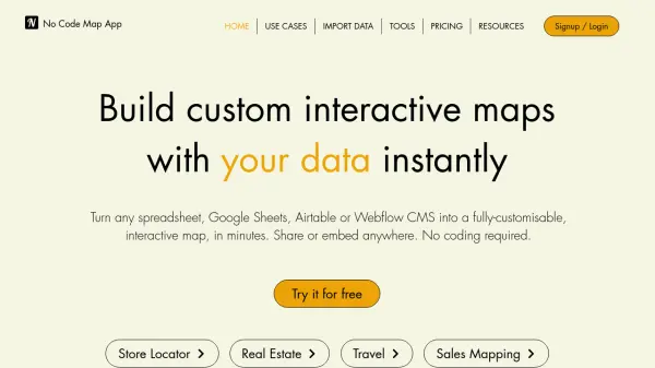
Use Cases
- Building store locator maps to guide customers to physical locations.
- Visualizing sales territories and strategies for improved decision-making.
- Creating event maps to plan and share details for conferences and gatherings.
- Developing campus maps to enhance navigation for students and visitors.
- Designing area maps for real estate, tourism, or urban planning projects.
- Generating lead capture maps for marketing and business development campaigns.
- Plotting routes and journeys for logistics, travel, or delivery services.
- Overlaying images and data layers for contextual visualizations in presentations.
FAQs
-
Can Carta Maps be used for different types of maps, or is it specific to certain industries?
Carta Maps is versatile and can be used for various map types, including store locators, sales territories, event maps, and campus maps, across multiple industries. -
How easy is it to customize maps with Carta Maps?
Carta Maps offers intuitive styling tools that make customization simple, allowing users to adjust styles for entire maps, groups, or individual elements with ease. -
Is Carta Maps suitable for both small businesses and larger enterprises?
Yes, Carta Maps is designed to scale, with plans ranging from Basic for individuals to Team for larger organizations, making it suitable for businesses of all sizes. -
How does Carta Maps handle real-time data updates for maps?
Carta Maps supports recurring imports and automation features to ensure data is always up to date, with real-time collaboration for team-based updates. -
Is there a limit to the number of locations or data points that can be included in a map?
Limits vary by plan; the Basic plan supports up to 1,000 map points, while the Standard and Team plans offer unlimited map points for larger datasets.