Top AI tools for Urban Planner
-
 NextGIS All-in-one GIS platform for maps and geodata
NextGIS provides comprehensive GIS solutions with web, mobile, desktop, and server tools for creating, managing, and sharing spatial data and interactive maps.
- Contact for Pricing
-
 Susterra Advanced Analytics for Public Finance
Susterra provides advanced analytics platforms using AI and ML for public finance stakeholders, aiming to enhance urban development and grow the Municipal Bond Market.
- Paid
- From 999$
-
 EOfactory Actionable geo-intelligence to ensure sustainability
EOfactory provides actionable geo-intelligence solutions using AI and ML for various industries, focusing on sustainability and science-based decisions. Access satellite imagery, process data, and visualize insights through custom dashboards.
- Free Trial
-
 LandGlide Comprehensive Parcel Data and Property Line Mapping Anywhere
LandGlide offers advanced parcel data and property line mapping with GPS location, providing access to over 157 million U.S. parcel records on desktop and mobile devices.
- Freemium
- From 10$
-
 Snaptrude Program to proposals at lightning speed with data-backed design concepts
Snaptrude is a web-based 3D modeling and space planning tool that enables architects and designers to create and validate design concepts quickly, complete with AI-powered rendering capabilities.
- Free Trial
-
 Terminus Group Shaping the Next Generation of Technology with AIoT
Terminus Group is an international AI smart service provider, specializing in Artificial Intelligence & Internet of Things (AIoT) solutions for smart cities, sustainable development, and robotics.
- Contact for Pricing
-
 Takeout Tools Export Real Location Data from Your Google Maps Saved Places
Takeout Tools transforms Google Takeout exports by automatically extracting addresses and coordinates from Google Maps URLs, converting them into usable formats like CSV, JSON, GPX, KML, and GeoJSON for mapping tools, GIS applications, and spreadsheets.
- Freemium
- From 190$
-
 ARU SKYNET On-Demand Aerial Intelligence for Smarter Decisions
ARU SKYNET is an AI-powered drone data management platform that enables organizations to upload, analyze, and collaborate on aerial intelligence with 20x higher resolution for enhanced decision-making.
- Contact for Pricing
-
 TdhGIS Free Vector-Based Spatial Analysis Software for Windows and Linux
TdhGIS is a free vector-based spatial analysis software for non-commercial use on Windows and Linux, offering tools for creating, editing, and analyzing geographic data with features like importing Shapefiles and OpenStreetMap data, allocating point and polygon data, and creating thiessen polygons and contours.
- Free
-
 LocaleScan Empowering Real Estate Location Decisions
LocaleScan provides a detailed overview of areas surrounding real estate properties, utilizing AI to assess risks and benefits for informed decision-making.
- Free
-
 Dassault Systèmes Virtual Worlds for Real Life
Dassault Systèmes provides businesses and people with virtual universes to create sustainable products and services. Leveraging virtual twin experiences, the company drives innovation across various sectors.
- Contact for Pricing
-
 MapZot.AI AI-Powered Location Analytics for Strategic Expansion
MapZot.AI provides AI-driven location analytics to help businesses optimize site selection, market planning, and sales forecasting. Leverage real-time data and insights for strategic growth and expansion.
- Contact for Pricing
-
 ShadySide Dodge the sun, enjoy the ride!
ShadySide is an AI-powered tool that analyzes your route to recommend the shadiest seating options for public transit, ensuring comfortable travel by avoiding direct sunlight.
- Other
-
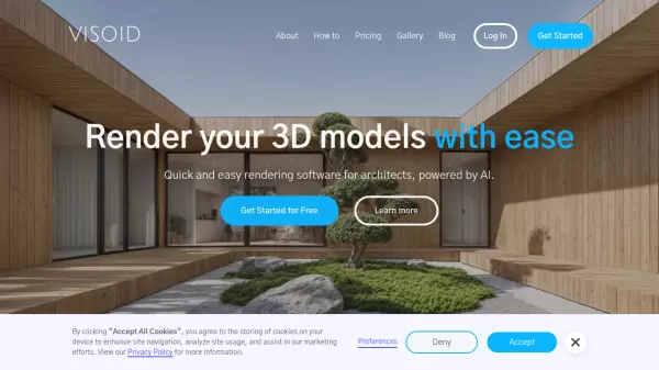 Visoid Quick and easy rendering software for architects, powered by AI
Visoid is an AI-powered 3D rendering software that enables architects to create high-quality visualizations in seconds, with support for any 3D design application and simple three-step workflow.
- Freemium
- From 29$
-
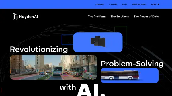 Hayden AI Revolutionizing Problem-Solving with AI
Hayden AI provides an AI-powered mobile perception platform that utilizes deep learning for various applications, including automated traffic enforcement and data-driven insights for cities.
- Contact for Pricing
-
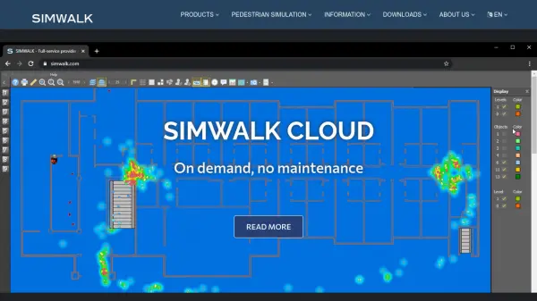 SimWalk Pedestrian Simulation Software for Safer, Smarter Venues
SimWalk is a leading pedestrian simulation software used by authorities and consultancies worldwide to analyze and manage crowd dynamics in transport, aviation, sports, and building environments.
- Paid
-
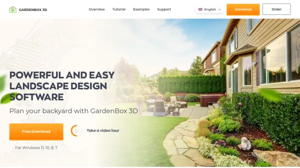 GardenBox 3D User-Friendly 3D Landscape Design Software for Homeowners
GardenBox 3D is powerful, user-friendly landscape design software that allows users to create and visualize garden, backyard, and exterior house plans in 3D, complete with customizable materials and real-time previews.
- Freemium
-
 DreamLADU Design Your Accessory Dwelling Unit in Seconds
DreamLADU is an AI-powered platform that enables users to quickly design and customize their ideal Accessory Dwelling Unit (ADU), offering both creative inspiration and detailed personalization features.
- Freemium
- From 20$
-
 Parking Logix Solutions for Safer, Smarter Parking Lots
Parking Logix provides AI-powered parking solutions including occupancy detection, real-time space guidance, data analytics, and wayfinding tools to optimize parking operations and enhance driver experience.
- Contact for Pricing
-
 Overview Satellite and aerial imagery revealing Earth's transformation
Overview uses satellite and aerial imagery to showcase how human activity and natural forces shape our planet, offering a powerful perspective on civilization and the environment.
- Other
-
 Oobeo Contactless Parking Management Software
Oobeo provides an integrated suite of contactless parking software for mobile payments, permits, valet, and attendant-managed locations, helping operators maximize revenue and efficiency.
- Freemium
-
 Plus Codes Open location codes for anywhere on Earth
Plus Codes is an open-source addressing system that provides simple, short codes to represent any location on Earth, enabling easy sharing and navigation without traditional addresses.
- Free
-
 LTU Tech Advanced Visual Recognition and Image Analysis Solutions
LTU Tech leverages patented algorithms to deliver advanced image recognition, visual search, and risk management solutions across industries, enhancing operational efficiency and asset protection.
- Other
-
 One One Six Apartments Luxury apartment living in Carmel, IN with modern designs and superb amenities
One One Six Apartments offers luxury apartment living in Carmel, Indiana, featuring modern floor plans, premium amenities, and a convenient location near local attractions.
- Contact for Pricing
-
 OnGeo Intelligence Empower your decisions with Satellite Imagery and Location Intelligence
OnGeo Intelligence provides AI-enhanced satellite imagery reports with global coverage, delivering clear PDF insights and data packages for various professional applications without requiring technical skills or subscriptions.
- Pay Once
-
 Wings Engine Interactive 3D and XR Creation Platform for the Web
Wings Engine is a no-code, web-based platform designed to enable interactive 3D and XR creation with real-time rendering, suitable for industries ranging from product display to building planning.
- Other
-
 Humans.ai Making AI Work for Humans
Humans.ai is an AI and blockchain ecosystem offering personalized AI tools designed to deliver transparent, equitable, and ethical AI solutions. It pioneers a decentralized approach to data validation, ensuring fair and unbiased AI systems.
- Contact for Pricing
-
 INRIX Leading Transportation Analytics Solutions Powered by AI
INRIX provides AI-driven transportation analytics solutions that leverage big data to improve mobility, enhance safety, and optimize business operations across various industries.
- Contact for Pricing
-
 Pataa The New Language of Address!
Pataa is an advanced addressing solution that provides short, unique digital address codes to simplify long and complex addresses, enhancing delivery efficiency and customer experience.
- Free Trial
-
 Mapit GIS Mobile GIS for asset collection, GPS surveys, and field data management
Mapit GIS is a professional mobile GIS platform for iOS and Android that enables offline-first data collection, GPS surveys, and field data management with support for GeoPackage, multiple export formats, and sub-metre GNSS accuracy.
- Other
-
 Parkitect Build and manage the theme parks of your dreams with modern tycoon gameplay
Parkitect is a modern theme park tycoon game where players construct roller coasters, design immersive parks, and manage operations through challenging campaigns and multiplayer modes.
- Pay Once
-
 Dance Your all-in-one ebike & moped subscription service
Dance is an electric mobility subscription service providing top-of-the-range e-bikes and e-mopeds with on-demand repairs, theft protection, and ride tracking for a fixed monthly price.
- Paid
-
 caliper.com Mapping the Future with Cutting-Edge Software Solutions
Caliper provides comprehensive mapping, GIS, and transportation software solutions for businesses and government agencies to analyze data, optimize operations, and plan strategically.
- Other
-
 Maket Democratizing architecture with generative AI
Maket is an AI-powered platform that automates residential floorplan generation, enables style exploration, and provides regulatory guidance for architecture and design projects.
- Freemium
- From 30$
-
 OpalAI Transforming spatial data into actionable insights with intelligent analysis
OpalAI is an advanced AI platform that converts spatial, visual, and point cloud data into detailed 3D models, BIM (Building Information Models), and actionable insights for various industries.
- Usage Based
- From 1$
-
 Vector2Raster Tiles Convert Vector Tiles to Raster Tiles Effortlessly
Vector2Raster Tiles automates the conversion of PBF vector tiles to raster formats, facilitating integration with mapping applications that require raster tile support.
- Paid
- From 5$
-
 AIBOT The High-Tech & High Performance aiEVTOL
AIBOT is developing AI-defined, high-performance electric Vertical Take-Off and Landing (aiEVTOL) aircraft to revolutionize regional mobility, offering a safe, zero-emission, and cost-efficient solution.
- Contact for Pricing
-
 HotCiti AI-Powered Town Discovery
HotCiti is an AI-powered platform that helps users find and explore US towns based on their preferences, providing comprehensive reports with real-time data from Google Maps and Places.
- Other
-
 Placekey Solve address matching problems for places
Placekey provides a universal identifier for any physical place, simplifying data sharing and solving address matching challenges across organizations using a unique 'What@Where' format.
- Freemium
- From 200$
-
 Switch AI-Powered Fleet Operations & Urban Mobility Planning
Switch leverages advanced AI technologies to optimize fleet operations, demand forecasting, and infrastructure planning for urban mobility stakeholders.
- Contact for Pricing
-
 Atlas AI The AI Platform for Geospatial Insights
Atlas AI is a geospatial AI platform providing hyperlocal socio-demographic indicators and forecasting tools, empowering data scientists with location intelligence.
- Contact for Pricing
-
 Modelur SketchUp Supercharged for Urban Design
Modelur is an AI-powered urban design plugin for SketchUp that enables architects and planners to explore design possibilities with real-time feedback on key metrics through seamless Excel integration.
- Freemium
- From 74$
-
 12d Synergy ISO 19650 Compliant Common Data Environment for Engineering and Construction
12d Synergy provides a streamlined Common Data Environment (CDE) for engineering and construction, enabling efficient document, email, and data management for all project stakeholders.
- Contact for Pricing
-
 MyGeodata Converter Convert GIS and CAD data online with ease
MyGeodata Converter is an online tool for converting vector and raster GIS/CAD data between various formats and coordinate systems. It supports bulk conversions, CAD formats, and Google Earth output.
- Freemium
- From 10$
-
 Roadometry Count traffic using computer vision on your desktop.
Roadometry provides desktop software utilizing computer vision to count traffic, offering valuable data for transportation analysis and system integration.
- Free Trial
-
 Ouster High-resolution lidar sensors and perception software for autonomy.
Ouster provides high-resolution digital lidar sensors and AI-powered perception software designed to enhance safety, efficiency, and autonomy across various industries including automotive, robotics, and smart infrastructure.
- Contact for Pricing
-
 Permitify Design with Confidence. Submit with Certainty.
Permitify offers AI-powered site-specific code research and plan review for architects and engineers, helping to catch compliance issues early and streamline the permit submission process.
- Paid
- From 99$
-
 Danti Make sense of the world's data through intelligent search and analysis
Danti is an AI-powered search and analysis platform that synthesizes diverse data sources including imagery, news, and social media to provide comprehensive insights about any location on Earth.
- Contact for Pricing
-
 Sound Event Detector (SED) AI-powered sound analysis for real-time threat detection and security enhancement.
SED (Sound Event Detector) is an AI-powered solution that uses sound analysis to detect dangerous situations like gunshots, screams, aggression, and drones, providing real-time alerts to enhance security and save lives.
- Contact for Pricing
-
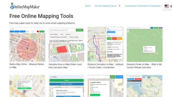 Online Map Maker Free, Easy-to-Use Online Mapping and Geodata Tools
Online Map Maker provides a suite of free web-based mapping tools for calculating areas, distances, elevations, zip codes, and more through an intuitive interface. The platform supports geographic data visualization, conversion, and analysis for students, professionals, and planners.
- Free
Featured Tools
Join Our Newsletter
Stay updated with the latest AI tools, news, and offers by subscribing to our weekly newsletter.
Explore More Professions
Didn't find tool you were looking for?