What is Online Map Maker?
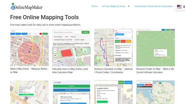
Online Map Maker delivers a collection of free online mapping utilities designed for solving everyday geographical and mapping problems without the complexity of traditional GIS software. Users can easily measure distances, calculate land areas, find elevation and postal codes, locate nearby EV charging stations, and visualize a variety of geo-data formats including CSV, GPX, KML, and ESRI Shapefiles directly on an interactive map interface.
The platform allows seamless uploading and viewing of personal geodata, the ability to convert data formats, and export or share results as needed. Whether identifying your current time zone, creating radius maps, or converting spatial data, these browser-based tools make mapping tasks quick and approachable for users of any skill level.
Features
- Radius Map Tool: Draw customizable circles of a given radius on a digital map.
- Area Calculator: Calculate land or area measurements by drawing polygons on the map.
- Distance Calculator: Determine street or straight-line distances between two locations.
- Elevation Finder: Look up the elevation or altitude of any map point.
- Postal Code Finder: Identify postal/zip codes based on geographic location and share results.
- EV Charging Station Finder: Locate nearby electric vehicle charging stations with route directions.
- Time Zone Locator: Determine the current time zone and related information by location.
- GPX, KML, KMZ & SHP File Viewer: Upload and visualize multiple spatial file types on a map.
- Geodata Conversion: Convert between GPX and GeoJSON formats.
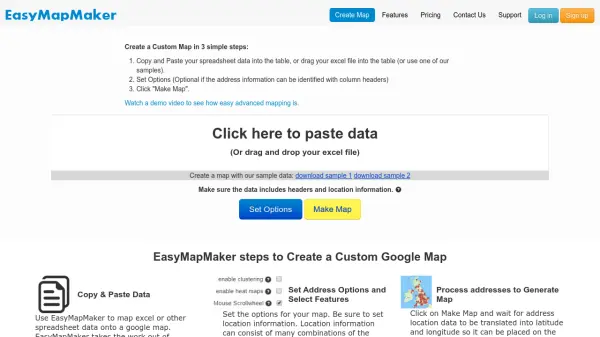
- CSV Map Maker: Visualize latitude and longitude data from CSV files on the map.
Use Cases
- Calculating property or land area for real estate or construction planning.
- Determining the distance between two addresses or locations for logistics or travel.
- Finding the elevation of specific locations for hiking, cycling, or environmental studies.
- Locating the nearest EV charging stations for electric vehicle users.
- Discovering and sharing current postal codes for delivery or address verification.
- Visualizing personal GPS routes and geodata files for outdoor activities.
- Converting spatial data formats for GIS analysis or software integration.
- Identifying local time zones for travel or remote work planning.