Top AI tools for Environmental Scientist
-
 NextGIS All-in-one GIS platform for maps and geodata
NextGIS provides comprehensive GIS solutions with web, mobile, desktop, and server tools for creating, managing, and sharing spatial data and interactive maps.
- Contact for Pricing
-
 EOfactory Actionable geo-intelligence to ensure sustainability
EOfactory provides actionable geo-intelligence solutions using AI and ML for various industries, focusing on sustainability and science-based decisions. Access satellite imagery, process data, and visualize insights through custom dashboards.
- Free Trial
-
 PlantSnap World Leading Plant Identification Technology
PlantSnap is a plant identification app that uses AI to instantly identify plants and provide personalized care tips. Join a community of plant lovers to learn and grow together.
- Freemium
- From 4$
-
 ARU SKYNET On-Demand Aerial Intelligence for Smarter Decisions
ARU SKYNET is an AI-powered drone data management platform that enables organizations to upload, analyze, and collaborate on aerial intelligence with 20x higher resolution for enhanced decision-making.
- Contact for Pricing
-
 TdhGIS Free Vector-Based Spatial Analysis Software for Windows and Linux
TdhGIS is a free vector-based spatial analysis software for non-commercial use on Windows and Linux, offering tools for creating, editing, and analyzing geographic data with features like importing Shapefiles and OpenStreetMap data, allocating point and polygon data, and creating thiessen polygons and contours.
- Free
-
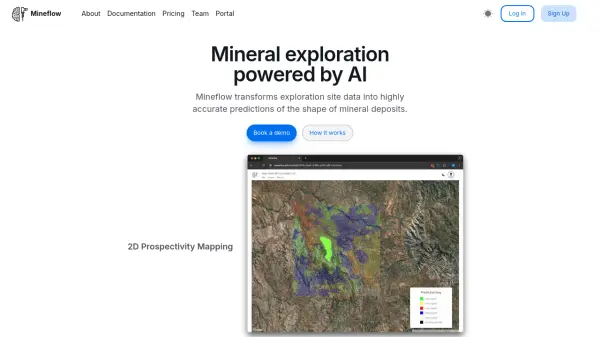 Mineflow Mineral exploration powered by AI
Mineflow is an advanced AI platform that transforms exploration site data into accurate predictions of mineral deposit shapes, specializing in 2D prospectivity mapping and 3D resource modeling for minerals like gold and copper.
- Contact for Pricing
-
 Future Timeline Explore predictions and timelines of humanity's future
Future Timeline is a comprehensive platform offering predictions and timelines for humanity's future across centuries, covering technological, societal, and environmental developments.
- Free
-
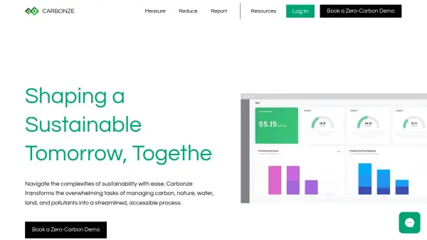 Carbonze Comprehensive Sustainability Platform for Carbon Management and Environmental Reporting
Carbonze is an AI-powered sustainability platform that streamlines carbon accounting, nature impact assessment, and ESG reporting, helping businesses achieve zero-emissions goals through precise measurement and actionable insights.
- Free Trial
-
 LTU Tech Advanced Visual Recognition and Image Analysis Solutions
LTU Tech leverages patented algorithms to deliver advanced image recognition, visual search, and risk management solutions across industries, enhancing operational efficiency and asset protection.
- Other
-
 OnGeo Intelligence Empower your decisions with Satellite Imagery and Location Intelligence
OnGeo Intelligence provides AI-enhanced satellite imagery reports with global coverage, delivering clear PDF insights and data packages for various professional applications without requiring technical skills or subscriptions.
- Pay Once
-
 Oikolab Weather and Climate Data API for Analysts
Oikolab provides API access to analysis-ready historical and forecast weather and climate data, serving analysts, researchers, and businesses with global coverage.
- Freemium
- From 150$
-
 Mapit GIS Mobile GIS for asset collection, GPS surveys, and field data management
Mapit GIS is a professional mobile GIS platform for iOS and Android that enables offline-first data collection, GPS surveys, and field data management with support for GeoPackage, multiple export formats, and sub-metre GNSS accuracy.
- Other
-
 Notpla Disappearing Packaging
Notpla offers sustainable packaging solutions made from seaweed, designed to biodegrade naturally and eliminate plastic waste for food, drinks, and personal care products.
- Contact for Pricing
-
 BioBase Automated aquatic habitat mapping and fish data generation powered by AI.
BioBase is an AI-powered platform that automates the creation of detailed aquatic habitat maps and fish data from sonar recordings, using cloud-based processing for accessible, shareable insights.
- Contact for Pricing
-
 GreenBTC.Club Gamifying Climate Action for Greener Bitcoin
GreenBTC.Club is a platform dedicated to reducing Bitcoin's carbon footprint by gamifying climate actions and tracking on-chain offsets, encouraging global participation in greening Bitcoin blocks.
- Free
-
 Aquaai Insights to mitigate risks for water bodies, subsurface infrastructure and ecosystem health.
Aquaai provides subsurface data acquisition using fish-like autonomous robots equipped with cameras and sensors. Their Fish-as-a-Service® (FaaS®) model delivers AI-powered insights for water management, infrastructure monitoring, and ecosystem health protection.
- Contact for Pricing
-
 Flora Incognita AI-Powered Plant Identification Meets Citizen Science
Flora Incognita is a free, AI-powered app that identifies over 30,000 plant species. It provides detailed information about plants and allows users to contribute to scientific research.
- Free
-
 SensorCloud Cloud-based sensor data management and analytics platform
SensorCloud is a cloud platform for managing and analyzing sensor data from wireless networks, offering real-time monitoring, data storage, and custom alerts for industrial applications.
- Freemium
- From 35$
-
 Restor Turning Local Action Into Global Impact
Restor is an AI-powered platform connecting restoration projects to ecological data, funding, and visibility, helping organizations scale nature-positive work with near real-time insights.
- Free
-
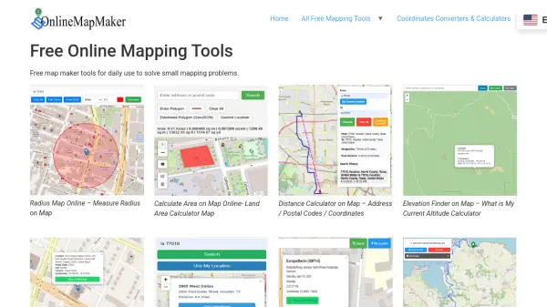 Online Map Maker Free, Easy-to-Use Online Mapping and Geodata Tools
Online Map Maker provides a suite of free web-based mapping tools for calculating areas, distances, elevations, zip codes, and more through an intuitive interface. The platform supports geographic data visualization, conversion, and analysis for students, professionals, and planners.
- Free
-
 FlyPix AI Geospatial AI Platform for Analyzing Earth's Surface
FlyPix AI is a geospatial analysis platform that uses AI to detect and analyze objects in images. Train custom AI models and analyze geospatial data tied to coordinates.
- Freemium
- From 50$
-
 Datum Workstation Advanced Geospatial Analysis and Image Processing Software
Datum Workstation delivers professional GIS, image processing, and terrain analysis solutions, integrating advanced tools for managing, visualizing, and publishing geospatial data on Windows and MacOS platforms.
- Contact for Pricing
-
 Spectator Live Satellite Monitoring and Centralized Data Access
Spectator is an AI-powered platform that provides seamless access to Earth observation satellite data from programs like Copernicus Sentinels and USGS/NASA Landsat, offering daily fresh satellite images, high-resolution commercial imagery, and flexible tools for tracking satellite passes and scheduling imaging.
- Freemium
-
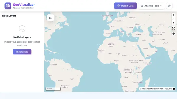 GeoVisualizer Advanced Web GIS Platform for Spatial Data Analysis
GeoVisualizer is an advanced web GIS platform that allows users to import, analyze, and export geospatial data with a variety of spatial analysis tools including buffer analysis, dissolve, centroids, grid generation, and more.
- Free
-
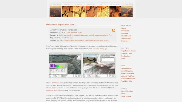 TopoFusion Advanced GPS mapping software for route planning and track manipulation
TopoFusion is a powerful GPS mapping application for Windows that enables users to download maps from multiple servers and manipulate GPX/KML files for route planning and analysis.
- Freemium
-
 Sonify Innovating at the intersection of audio, data and emerging technologies
Sonify is a technology company specializing in audio-first products and data-driven solutions, transforming data into musical experiences and sound-based interactions.
- Contact for Pricing
-
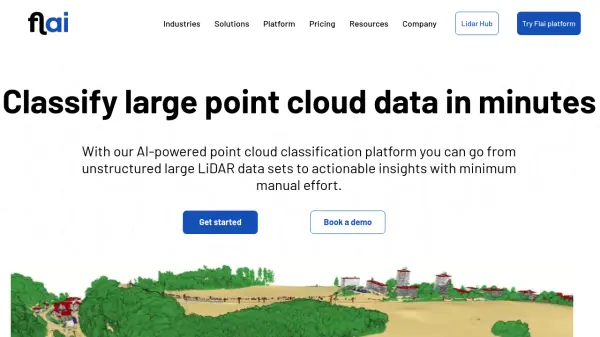 Flai AI-powered point cloud classification platform for LiDAR data processing
Flai is an advanced platform that transforms unstructured LiDAR datasets into actionable insights through AI-powered point cloud classification, offering both cloud-based and self-hosted solutions for efficient data processing.
- Freemium
- From 20$
-
 Zoom Earth Interactive Global Weather Mapping in Real Time
Zoom Earth offers near real-time weather visualization with interactive maps and satellite imagery, enabling users to track storms, wildfires, and weather conditions globally.
- Free
-
 YoWindow Turn any picture into a dynamic weather landscape
YoWindow is an AI-powered weather visualization tool that transforms photos into interactive landscapes with real-time weather effects, offering immersive forecasting experiences across multiple platforms.
- Other
-
 Footpath Plan your next adventure in seconds
Footpath is an AI-powered route planning app that enables users to create custom routes with distance measurement, elevation analysis, and turn-by-turn navigation using offline topographic maps.
- Freemium
- From 5$
-
 CSols Complementary Laboratory Software Applications for Enhanced Productivity and Quality
CSols provides laboratory software applications designed to improve productivity, quality, and regulatory compliance by eliminating manual data entry and streamlining workflows in laboratories worldwide.
- Contact for Pricing
-
 EOS Data Analytics Satellite Data Analytics For Daily Earth Insights & Decision-making
EOS Data Analytics is a leading provider of satellite-based monitoring and AI-powered analytics solutions, specializing in agriculture and forestry sectors to drive sustainable business decisions through actionable satellite data.
- Contact for Pricing
-
 Neural Designer Explainable Machine Learning Platform
Neural Designer is a user-friendly platform enabling users to build and deploy neural network models for data science without coding.
- Free Trial
-
 Mayday.ai Global Risk, Disaster, and Environmental Intelligence Platform
Mayday.ai provides real-time global risk, disaster, and environmental intelligence using an AI fusion engine, leveraging satellite and camera data for governments, enterprises, and insurers. It aids in risk reduction, disaster management, and environmental monitoring.
- Contact for Pricing
-
 AeroMegh Transform Drone Data into Intelligence with Advanced GeoAI Platform
AeroMegh is a comprehensive GeoAI platform for drone professionals, offering photogrammetry, AI-powered object detection, and geospatial analytics in one integrated solution.
- Freemium
- From 47$
-
 GIS Cloud Real-time GIS: From Field to Office
GIS Cloud is a fast and powerful online GIS platform for operations management, enabling field data collection, map editing, and real-time team collaboration across industries.
- Paid
- From 15$
-
 identify.plantnet.org Identify, explore and share your observations of wild plants
Pl@ntNet is an AI-powered tool for identifying wild plants using pictures. Users can explore different thematic and geographical plant floras and contribute their own observations.
- Free
-
 Downlink Real-time satellite imagery on your desktop
Downlink is a desktop application that automatically updates your background with fresh satellite images of Earth every 20 minutes or hour, offering various views including custom zoom options.
- Other
-
 Air Matters Real-Time Global Air Quality, Allergy, and Weather Monitoring
Air Matters provides real-time air quality index, pollen, and weather data for users worldwide, along with health recommendations and device connectivity.
- Freemium
-
 Manifold The world's fastest GIS with built-in parallel DBMS and real SQL
Manifold is a high-performance Geographic Information System (GIS) that combines spatial data visualization with advanced parallel database management capabilities, delivering exceptional speed and reliability for handling large datasets.
- Pay Once
-
 BtB Software LIMS Software Designed for Public Health and Private Clinical Laboratories
BtB Software provides comprehensive Laboratory Information Management System (LIMS) solutions for public health and private clinical laboratories, offering modules for various testing areas with cloud or local deployment options.
- Contact for Pricing
-
 GeoAI Harnessing AI and Spatial Data for Innovation
GeoAI combines Artificial Intelligence with geospatial engineering to analyze location-based data, satellite imagery, and advanced analytics for smarter decision-making in various industries.
- Contact for Pricing
-
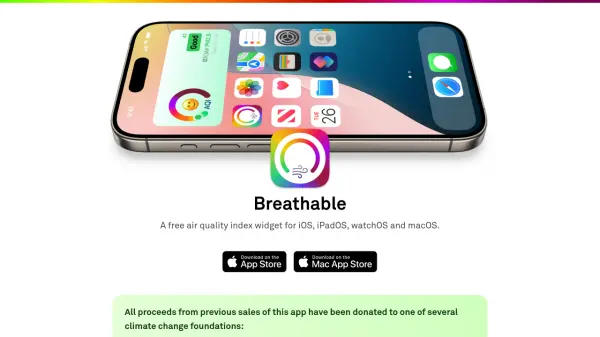 Breathable A free customizable Air Quality Index widget for all your Apple devices
Breathable is a free Air Quality Index widget for iOS, iPadOS, watchOS, and macOS, providing real-time air quality data from global and US sources to help users assess outdoor safety.
- Free
-
 HibouAir Smart Indoor Air Quality Monitoring for Healthier Environments
HibouAir provides smart indoor air quality monitoring solutions with real-time data tracking for homes, offices, and businesses to maintain healthier indoor environments.
- Contact for Pricing
-
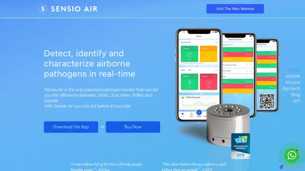 Sensio Air Detect, identify and characterize airborne pathogens in real-time.
Sensio Air offers real-time detection and identification of airborne allergens and pathogens like mold, pollen, and dust mites using patented sensor technology.
- Paid
-
 Garudalytics Solving real-world challenges using GeoAI.
Garudalytics provides Geospatial AI (GeoAI) solutions, extracting insights from location data to address challenges across various sectors.
- Contact for Pricing
-
 Geospatial Cloud Serv Advanced geospatial data serving and microservices for comprehensive GIS solutions
Geospatial Cloud Serv provides a powerful self-hosted solution for advanced geospatial data serving, microservices, and APIs, compatible with various GIS platforms and mobile applications.
- Pay Once
Featured Tools
Join Our Newsletter
Stay updated with the latest AI tools, news, and offers by subscribing to our weekly newsletter.
Explore More Professions
Didn't find tool you were looking for?