What is TopoFusion?
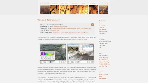
TopoFusion is a comprehensive GPS mapping software designed for Windows, offering over two decades of development and refinement. It automatically downloads topographic, aerial photo, and satellite maps from various public servers, providing users with versatile mapping capabilities. The software excels at fast and efficient manipulation of GPX and KML files, including cutting, splicing, and reversing operations, making it ideal for route planning and ground truthing.
Key functionalities include Fusion Combo Maps for blending different map types, Networks for merging multiple GPS tracklogs, and Multi-track playback for visualizing simultaneous trips. Additional features support splining and simplifying GPS data, geo-referencing photos with PhotoFusion, and calibrating user-imported images. The application is known for its smooth performance and innovative tools that enhance mapping workflows for outdoor enthusiasts and professionals.
Features
- Map Display Engine: Efficient and versatile engine for fast and smooth map rendering
- Fusion Combo Maps: Blend topographic, US Land Ownership, and aerial maps to create custom maps
- Networks: Exclusive algorithm to combine multiple GPS tracklogs into a simplified network
- Multi-track Playback: Visualize multiple GPS-recorded trips simultaneously
- Splining/Simplifying: Interpolate GPS data or reduce points in track logs
- PhotoFusion: Geo-reference digital photos using EXIF timestamps and place them along GPS tracks
- User Maps: 3-point calibration of imported images with transparency support
Use Cases
- Route planning for long-distance or unknown trails
- Ground truthing and verification of GPS data
- Merging and simplifying large collections of GPS tracklogs
- Visualizing multiple trips recorded by GPS for analysis
- Geo-referencing photos to create interactive maps with clickable images
- Creating custom maps by blending different map types for enhanced visualization
FAQs
-
What are the limitations of the free version of TopoFusion?
The free version has fully functional features but obscures 1/5th of map tiles with the word DEMO and limits users to three files open at a time. -
How much does it cost to remove the DEMO tiles in TopoFusion?
A one-time fee of $69.95 purchases a copy that removes the DEMO tiles. -
What types of maps can TopoFusion download?
It downloads topographic, aerial photo, and satellite maps automatically from several public map servers. -
What file formats does TopoFusion support for manipulation?
It supports GPX and KML files for operations like cutting, splicing, and reversing.