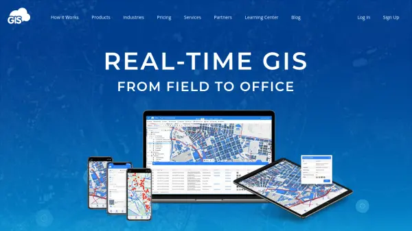
What is GIS Cloud?
GIS Cloud is a cloud-based Geographic Information System (GIS) platform designed to streamline operations management from field to office. It enables users to collect data in the field using custom survey forms with GPS location, work offline with automatic sync, and manage teams and tasks in real time. The platform offers map editing and styling tools for data analysis, private sharing via Map Viewer, and public map portals with custom branding. With options for online, offline, and on-premises deployment, GIS Cloud serves industries such as civil engineering, government, utilities, and non-profits. Additional capabilities include real-time tracking of people, fleet, and assets, as well as integrations with QGIS and ArcMap via free plugins.
Features
- Mobile Data Collection: Custom survey forms with GPS location capture, offline storage, and automatic sync.
- Map Editor: Style, classify, and edit vector data with support for large datasets.
- Map Viewer: Private access to shared maps and data for stakeholders.
- Map Portal: Public, branded GIS apps with custom domain and 50,000 map views included.
- Real-time Tracking: Visualize people, fleet, and assets on a map with historical data and reports.
- Publisher for QGIS/ArcMap: Free plugins to publish maps and data from desktop GIS to GIS Cloud.
- Offline and On-Premises: Work without internet and install platform on your own servers.
- Crowdsourcing: Collect data from public and anonymous users with submission tracking.
- Geocoder: Address geocoding and reverse geocoding.
- REST and JavaScript APIs: Custom app development and integration.
Use Cases
- Field data collection for asset inspection and vegetation management.
- Real-time fleet and personnel tracking for logistics and emergency response.
- Infrastructure planning and maintenance for utilities and civil engineering.
- Public engagement through branded map portals for community projects.
- Collaborative GIS mapping for government and non-profit organizations.
FAQs
-
Can I use GIS Cloud offline?
Yes, the Mobile Data Collection app supports offline data capture. Data is stored on your device and automatically syncs when an internet connection is available. -
How does pricing work?
GIS Cloud offers flat per-seat monthly or annual plans for different apps: Map Viewer ($15/seat), Mobile Data Collection ($30/seat), Map Editor ($90/seat), and Map Portal ($95/seat). Volume discounts are available for larger teams. -
What integrations are available?
GIS Cloud provides free plugins for QGIS and ArcMap to publish maps and data directly. It also offers REST and JavaScript APIs for custom development. -
Is there a free trial?
Yes, you can try GIS Cloud for free by signing up on their website. -
Can I host GIS Cloud on my own servers?
Yes, GIS Cloud offers an on-premises installation option, which allows you to deploy the entire platform behind your firewall for enhanced security.