Top AI tools for GIS Specialist
-
 Open Design Alliance Platform (ODA Platform) Interoperability Solutions for CAD and BIM Engineering Data
The ODA Platform provides comprehensive SDKs and tools enabling seamless interoperability and advanced functionality for CAD, BIM, and engineering data workflows.
- Paid
- From 188$
-
 EOfactory Actionable geo-intelligence to ensure sustainability
EOfactory provides actionable geo-intelligence solutions using AI and ML for various industries, focusing on sustainability and science-based decisions. Access satellite imagery, process data, and visualize insights through custom dashboards.
- Free Trial
-
 Takeout Tools Export Real Location Data from Your Google Maps Saved Places
Takeout Tools transforms Google Takeout exports by automatically extracting addresses and coordinates from Google Maps URLs, converting them into usable formats like CSV, JSON, GPX, KML, and GeoJSON for mapping tools, GIS applications, and spreadsheets.
- Freemium
- From 190$
-
 ARU SKYNET On-Demand Aerial Intelligence for Smarter Decisions
ARU SKYNET is an AI-powered drone data management platform that enables organizations to upload, analyze, and collaborate on aerial intelligence with 20x higher resolution for enhanced decision-making.
- Contact for Pricing
-
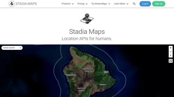 Stadia Maps Reliable Location APIs for Modern Applications
Stadia Maps delivers robust and privacy-focused location APIs, offering customizable maps, geocoding, routing, and satellite imagery for businesses and developers seeking scalable, cost-effective mapping solutions.
- Freemium
- From 20$
-
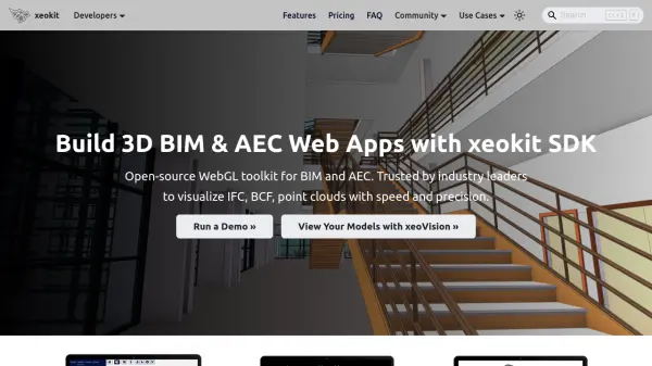 xeokit Open-source WebGL toolkit for BIM and AEC visualization
xeokit is an open-source WebGL toolkit for building high-performance 3D BIM and AEC web applications that visualize complex models with speed and precision across all major browsers.
- Freemium
-
 MaintStar Enterprise Asset Management and Land Management Software for Government Agencies
MaintStar provides a unified cloud-based platform for government agencies to manage assets, land, and citizen engagement through AI-powered workflow automation and real-time data integration.
- Contact for Pricing
-
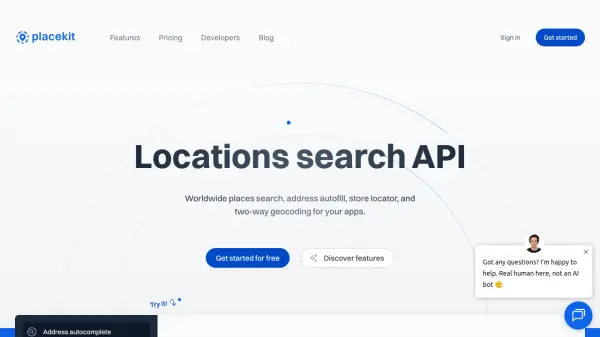 PlaceKit Worldwide places search, address autofill, and two-way geocoding API
PlaceKit is a locations search API that provides address autocomplete, geocoding, reverse geocoding, and store locator functionality. It offers a developer-friendly experience with global coverage, typo-tolerant search, and transparent usage-based pricing.
- Usage Based
-
 Vector2Raster Tiles Convert Vector Tiles to Raster Tiles Effortlessly
Vector2Raster Tiles automates the conversion of PBF vector tiles to raster formats, facilitating integration with mapping applications that require raster tile support.
- Paid
- From 5$
-
 Leaflet Open-source JavaScript library for mobile-friendly interactive maps
Leaflet is a lightweight open-source JavaScript library for creating mobile-friendly interactive maps with all essential mapping features, designed for simplicity, performance, and usability across desktop and mobile platforms.
- Free
-
 Planet AI-Powered Earth Intelligence for Global Monitoring and Decision Making
Planet provides AI-powered Earth observation and intelligence solutions through satellite constellations, offering daily global monitoring, high-resolution tasking, and analytics for industries like agriculture, defense, and sustainability.
- Freemium
- From 28$
-
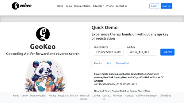 GeoKeo Blazing fast geocoding API with worldwide coverage
GeoKeo is an AI-powered geocoding API service offering forward and reverse search capabilities with fast response times, worldwide coverage, and support for multiple programming languages.
- Freemium
-
 Flai AI-powered point cloud classification platform for LiDAR data processing
Flai is an advanced platform that transforms unstructured LiDAR datasets into actionable insights through AI-powered point cloud classification, offering both cloud-based and self-hosted solutions for efficient data processing.
- Freemium
- From 20$
-
 Tile38 Ultra Fast Geospatial Database & Geofencing Server
Tile38 is an open-source geospatial database and geofencing server that delivers real-time location-based notifications and high-performance spatial indexing for applications.
- Other
-
 Restoration Scope Custom data solutions for nature restoration
Restoration Scope builds data systems to support unique nature restoration projects, streamlining operations, increasing transparency, and accelerating fundraising through integrated data solutions.
- Contact for Pricing
-
 Terrain Navigator Pro Generating work flow efficiency and increasing return on investment for today’s mapping professionals
Terrain Navigator Pro is a comprehensive mapping platform that combines topographic maps and aerial photos with powerful mapping tools for creating, editing, and synchronizing map projects across desktop, web, and mobile devices.
- Free Trial
-
 Deep Block Computer Vision for Ultra-High Resolution Imagery
Deep Block is an AI-powered platform designed for rapid analysis of large-scale, high-resolution imagery from sources like satellites, drones, and microscopes.
- Freemium
-
 Enviro Data The Leading Open Source Environmental Data Management Software
Enviro Data is an open-source environmental database management system that stores and displays environmental quality data for water, soil, air, and more, with tools for data import, reporting, and GIS integration.
- Other
-
 Pix4D Professional photogrammetry and 3D mapping solutions for digitizing reality
Pix4D provides advanced photogrammetry software and cloud solutions for creating accurate 2D maps, 3D models, and point clouds from drone and terrestrial imagery, serving industries like surveying, construction, agriculture, and public safety.
- Freemium
-
 Foursquare Transform Your World with Location Intelligence
Foursquare provides comprehensive location intelligence solutions including geospatial analytics, POI data, and AI-powered spatial tools for marketers, developers, and spatial analysts.
- Freemium
- From 25$
-
 GeoDataSource Comprehensive World Cities Database for Developers and Businesses
GeoDataSource provides a comprehensive world cities database with 3 million city features across 249 countries, offering accurate location data including names, coordinates, and administrative divisions for integration into various database systems.
- Freemium
-
 Every Door The best OpenStreetMap editor for POIs and entrances.
Every Door is an open-source OpenStreetMap editor designed for mapping points of interest, entrances, and micro-mapping features with offline capabilities and AI-assisted data validation.
- Free
-
 GIS Cloud Real-time GIS: From Field to Office
GIS Cloud is a fast and powerful online GIS platform for operations management, enabling field data collection, map editing, and real-time team collaboration across industries.
- Paid
- From 15$
-
 Pelias Geocoder A modular, open-source search engine for our world
Pelias is an open-source geocoder that transforms addresses and place names into geographic coordinates and vice versa, powered by open data and built on Elasticsearch for fast global search.
- Freemium
-
 Bee Maps Simplify Fleet Management with AI-Powered Mapping Insights
Bee Maps offers AI-powered fleet management solutions and hyper-fresh mapping data APIs for optimized routing, cost savings, and real-time monitoring.
- Contact for Pricing
-
 Vintri Technologies Establish a Verified Single Source of Truth across your supply chain
Vintri Technologies provides an AI-powered data management solution for energy operators, focusing on data integrity, preservation, and material traceability to create accessible, traceable, and trustworthy supply chain records.
- Contact for Pricing
-
 Manifold The world's fastest GIS with built-in parallel DBMS and real SQL
Manifold is a high-performance Geographic Information System (GIS) that combines spatial data visualization with advanced parallel database management capabilities, delivering exceptional speed and reliability for handling large datasets.
- Pay Once
-
 ACTCAD Enterprise-Grade Fast & Affordable CAD Software for 2D Drafting and 3D Modeling
ACTCAD delivers advanced CAD solutions for 2D drafting and 3D modeling with perpetual licensing, providing professionals with high performance, file compatibility, and industry-specific features at an affordable price.
- Pay Once
-
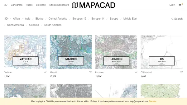 Mapacad Premium DWG Maps of Cities Worldwide
Mapacad offers a vast collection of high-quality DWG files of cities, including 3D models and cartography, for architects, urban planners, and designers.
- Paid
-
 Navayuga Infotech Leading global IT solutions and services for enterprise automation and geospatial technologies.
Navayuga Infotech is a CMMI Level 5 and ISO 9001:2015 certified company providing innovative software solutions, including airport management, port solutions, eGovernance, and geospatial services, to clients worldwide.
- Contact for Pricing
-
 Schimera Freelance software development for rapid prototyping and MVP solutions across multiple platforms
Schimera provides freelance software development services specializing in rapid prototyping and Minimum Viable Product (MVP) development for mobile, web, desktop, and embedded systems.
- Contact for Pricing
-
 PANOVOLO The ultimate panorama stitching tool for drone photography
PANOVOLO is a professional panorama stitching software for drone photography that creates stunning panoramas with one-click compatibility across drones, DSLRs, mirrorless cameras, and smartphones, supporting various panorama types and formats.
- Other
-
 Conveyor Desktop app distribution, simplified
Conveyor is an AI-powered tool that simplifies desktop app distribution by building self-updating packages for multiple operating systems with platform-native formats, signing, and notarization.
- Contact for Pricing
Featured Tools
Join Our Newsletter
Stay updated with the latest AI tools, news, and offers by subscribing to our weekly newsletter.
Explore More Professions
Didn't find tool you were looking for?