Top AI tools for Surveyor
-
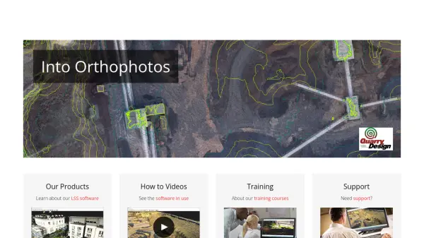 LSS Industry Leading Digital Terrain Modelling System for Surveying and Design
LSS is a comprehensive land survey and terrain modelling software used for converting point clouds into orthophotos, generating DTMs from LiDAR, and performing topographical surveys, design, and visualisation tasks.
- Other
-
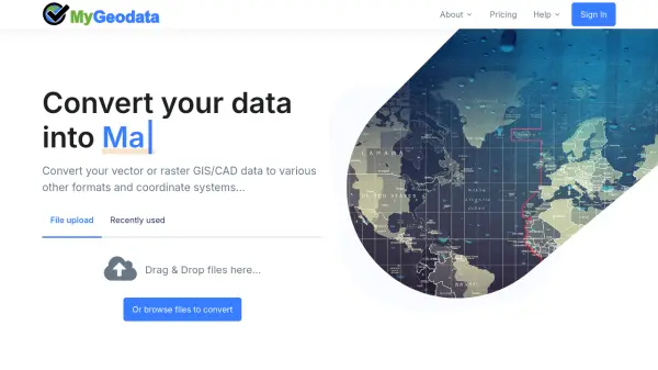 MyGeodata Converter Convert GIS and CAD data online with ease
MyGeodata Converter is an online tool for converting vector and raster GIS/CAD data between various formats and coordinate systems. It supports bulk conversions, CAD formats, and Google Earth output.
- Freemium
- From 10$
-
 Datum Workstation Advanced Geospatial Analysis and Image Processing Software
Datum Workstation delivers professional GIS, image processing, and terrain analysis solutions, integrating advanced tools for managing, visualizing, and publishing geospatial data on Windows and MacOS platforms.
- Contact for Pricing
-
 NextGIS All-in-one GIS platform for maps and geodata
NextGIS provides comprehensive GIS solutions with web, mobile, desktop, and server tools for creating, managing, and sharing spatial data and interactive maps.
- Contact for Pricing
-
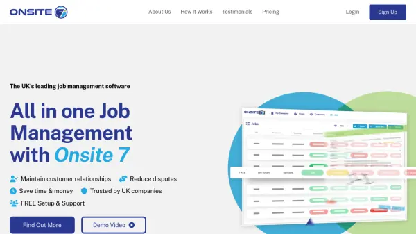 Onsite 7 All-in-One Job Management Software for Trade Businesses
Onsite 7 delivers comprehensive job management and CRM solutions tailored for UK trade, construction, and fenestration businesses, streamlining project tracking, documentation, and customer interactions.
- Paid
- From 100$
-
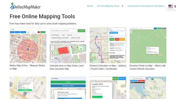 Online Map Maker Free, Easy-to-Use Online Mapping and Geodata Tools
Online Map Maker provides a suite of free web-based mapping tools for calculating areas, distances, elevations, zip codes, and more through an intuitive interface. The platform supports geographic data visualization, conversion, and analysis for students, professionals, and planners.
- Free
-
 Regrid Comprehensive parcel data with boundaries, buildings, addresses, and geographic enrichments for all your location decisions.
Regrid provides comprehensive parcel data for the U.S. and Canada, including boundaries, ownership, addresses, and geographic insights, accessible via app, data store, API, and enterprise solutions.
- Freemium
-
 Geospatial Cloud Serv Advanced geospatial data serving and microservices for comprehensive GIS solutions
Geospatial Cloud Serv provides a powerful self-hosted solution for advanced geospatial data serving, microservices, and APIs, compatible with various GIS platforms and mobile applications.
- Pay Once
-
 Caddie Professional CAD Solutions for Architecture, Engineering, and Design
Caddie provides fast and user-friendly CAD software with specialized tools for architecture, engineering, and design professionals. Compatible with .DWG files, Caddie offers seamless 2D drafting to 3D modeling and outstanding customer support.
- Paid
-
 DroneDeploy Capture what matters, before you can't.
DroneDeploy is a unified reality capture platform that uses AI and robotics to provide comprehensive site documentation, quality checks, and progress tracking across construction, mining, utilities, and other industries.
- Freemium
- From 165$
-
 RiskBirbal Management Services AI-Powered Innovation & Technology-Driven Risk Management Solutions
RiskBirbal Management Services provides AI-driven risk management solutions including insurance quotation systems, risk inspection, asset valuation, and wellness management for businesses.
- Contact for Pricing
-
 MangoMap Powerful, Affordable Online GIS Mapping for Professionals
MangoMap is an easy-to-use, cost-effective online GIS mapping platform designed for professionals who need robust mapping capabilities without the complexity or high licensing fees of traditional solutions.
- Paid
- From 79$
-
 RoomScan Pro LiDAR Capture Accurate Floor Plans Instantly with LiDAR
RoomScan Pro LiDAR enables rapid, precise capturing of 2D floor plans and 3D room models on iPhone and iPad Pro, leveraging LiDAR technology for accuracy and ease.
- Pay Once
-
 InspectEasy All-in-One Property Inspection App for Professionals
InspectEasy is a comprehensive building inspection app designed for Australian and New Zealand inspectors, offering customizable templates, AI-powered defect statement suggestions, and seamless report generation on iOS and Android devices.
- Free Trial
- From 80$
-
 RingBot Automated Voice Calls & Surveys with AI-Powered Delivery
RingBot enables users to send automated voice calls and conduct surveys by having an AI-powered robot read or ask your typed message to any valid phone number globally.
- Usage Based
-
 GeoVisualizer Advanced Web GIS Platform for Spatial Data Analysis
GeoVisualizer is an advanced web GIS platform that allows users to import, analyze, and export geospatial data with a variety of spatial analysis tools including buffer analysis, dissolve, centroids, grid generation, and more.
- Free
-
 Phase One High-Resolution Digital Imaging Technology for Professional Applications
Phase One delivers exceptional high-resolution digital imaging solutions for geospatial mapping, cultural heritage preservation, space exploration, and professional photography with superior image quality and precision.
- Contact for Pricing
-
 3DF Zephyr The Complete Photogrammetry Solution
3DF Zephyr is an all-in-one photogrammetry software suite that automatically reconstructs 3D models from photos and videos, supporting various cameras and sensors for applications in surveying, construction, cultural heritage, and more.
- Other
-
 GeoSurvey Professional Land Surveying and 3D Laser Scanning Services
GeoSurvey provides comprehensive land surveying and 3D laser scanning services with over 10,000 surveys completed since 1996, serving commercial, construction, and residential markets.
- Contact for Pricing
-
 Flai AI-powered point cloud classification platform for LiDAR data processing
Flai is an advanced platform that transforms unstructured LiDAR datasets into actionable insights through AI-powered point cloud classification, offering both cloud-based and self-hosted solutions for efficient data processing.
- Freemium
- From 20$
-
 12d Synergy ISO 19650 Compliant Common Data Environment for Engineering and Construction
12d Synergy provides a streamlined Common Data Environment (CDE) for engineering and construction, enabling efficient document, email, and data management for all project stakeholders.
- Contact for Pricing
-
 Brik Software Developer of specialized software tools for Mac and iOS
Brik Software creates and distributes a range of specialized applications for Mac and iOS, including PDF management, land surveying, video editing, and system utility tools.
- Pay Once
-
 GeoAI Harnessing AI and Spatial Data for Innovation
GeoAI combines Artificial Intelligence with geospatial engineering to analyze location-based data, satellite imagery, and advanced analytics for smarter decision-making in various industries.
- Contact for Pricing
-
 Ouster High-resolution lidar sensors and perception software for autonomy.
Ouster provides high-resolution digital lidar sensors and AI-powered perception software designed to enhance safety, efficiency, and autonomy across various industries including automotive, robotics, and smart infrastructure.
- Contact for Pricing
-
 RealityCapture Create realistic 3D models from photos
RealityCapture is a photogrammetry software that enables users to create realistic 3D models from photos and laser scans for various applications.
- Paid
-
 QuickInspect Smarter Software. Faster Inspections.
QuickInspect is mobile-first home inspection software built by inspectors and engineers to deliver faster reports, manage everything from any device, and add video summaries to comments and reports with real U.S.-based support.
- Freemium
- From 50$
-
 Bhoomi Online Access Karnataka Land Records Digitally
Bhoomi Online is Karnataka's official digital portal for accessing land records, including RTC (Pahani), mutation status, khata extracts, and survey documents, enabling citizens to view and manage property information online without visiting government offices.
- Freemium
-
 Matterport Create immersive 3D digital twins for smarter property decisions
Matterport is an AI-powered platform that transforms physical spaces into interactive 3D digital twins, enabling property marketing, facilities management, and design collaboration through immersive virtual tours and automated insights.
- Freemium
-
 Skydio Know more. Risk less.
Skydio drone programs enhance safety and efficiency through remote autonomous flight, providing crucial data for various industries, including Energy & Utilities, Defense, and Public Safety.
- Contact for Pricing
-
 MapTools Professional coordinate plotting tools for mapping and navigation
MapTools manufactures precision coordinate plotting tools for UTM, MGRS, USNG, and Latitude/Longitude systems, used by military, government agencies, and outdoor professionals worldwide.
- Other
-
 Skycatch Industry leading drone automation and data analysis platform
Skycatch is an enterprise-grade drone automation and data analysis platform that provides scalable solutions for geospatial data collection, processing, and management with high accuracy and efficiency.
- Contact for Pricing
-
 Mapit GIS Mobile GIS for asset collection, GPS surveys, and field data management
Mapit GIS is a professional mobile GIS platform for iOS and Android that enables offline-first data collection, GPS surveys, and field data management with support for GeoPackage, multiple export formats, and sub-metre GNSS accuracy.
- Other
-
 PANOVOLO The ultimate panorama stitching tool for drone photography
PANOVOLO is a professional panorama stitching software for drone photography that creates stunning panoramas with one-click compatibility across drones, DSLRs, mirrorless cameras, and smartphones, supporting various panorama types and formats.
- Other
-
 Plus Codes Open location codes for anywhere on Earth
Plus Codes is an open-source addressing system that provides simple, short codes to represent any location on Earth, enabling easy sharing and navigation without traditional addresses.
- Free
-
 Pix4D Professional photogrammetry and 3D mapping solutions for digitizing reality
Pix4D provides advanced photogrammetry software and cloud solutions for creating accurate 2D maps, 3D models, and point clouds from drone and terrestrial imagery, serving industries like surveying, construction, agriculture, and public safety.
- Freemium
-
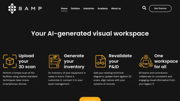 Samp Shared Reality for Industrial Sites
Samp provides an AI-generated visual workspace for industrial sites, connecting 3D reality capture with technical data to improve collaboration and data accuracy. It helps manage industrial assets by creating digital twins from scans.
- Contact for Pricing
-
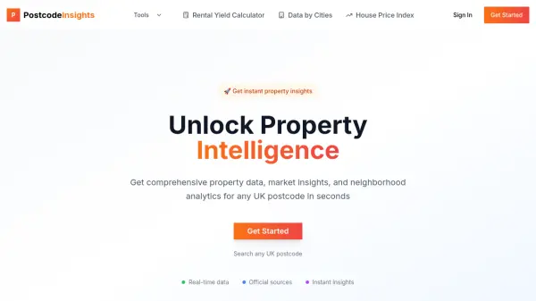 PostcodeInsights Unlock Property Intelligence for Any UK Postcode
PostcodeInsights provides real-time property data, market trends, and local area insights for any UK postcode, helping users make informed property decisions quickly.
- Freemium
-
 Maplorer Extend your GPS with free maps and navigation tools
Maplorer provides free software tools to enhance GPS devices with custom maps, navigation, and track visualization, compatible with Windows CE and Windows Mobile systems.
- Free
-
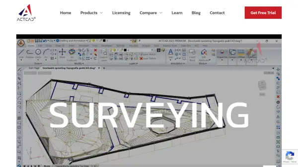 ACTCAD Enterprise-Grade Fast & Affordable CAD Software for 2D Drafting and 3D Modeling
ACTCAD delivers advanced CAD solutions for 2D drafting and 3D modeling with perpetual licensing, providing professionals with high performance, file compatibility, and industry-specific features at an affordable price.
- Pay Once
-
 FlyPix AI Geospatial AI Platform for Analyzing Earth's Surface
FlyPix AI is a geospatial analysis platform that uses AI to detect and analyze objects in images. Train custom AI models and analyze geospatial data tied to coordinates.
- Freemium
- From 50$
-
 Geomeasure Measure Your Fields with Precision
Geomeasure is a free GPS field area map measurement tool that calculates property areas and distances using manual, GPS, and free-hand methods for real estate, agriculture, and land surveying.
- Free
-
 xeokit Open-source WebGL toolkit for BIM and AEC visualization
xeokit is an open-source WebGL toolkit for building high-performance 3D BIM and AEC web applications that visualize complex models with speed and precision across all major browsers.
- Freemium
-
 Presite Effortless Site Planning for Builders
Presite streamlines site planning for builders with easy-to-use software that creates fast, professional site and floor plans without the need for CAD skills.
- Usage Based
- From 98$
-
 Docketbook Digital Docket Management for Construction and Supply Chains
Docketbook streamlines purchase-to-pay workflows in construction and supply chains, offering digital docket creation, approval, and integrated invoicing to boost efficiency and collaboration.
- Contact for Pricing
-
 Elsight Absolute Connection Confidence for Unmanned Systems
Elsight provides AI-powered connectivity solutions, like Halo, for reliable Beyond Visual Line of Sight (BVLOS) operations of drones, UAVs, and other uncrewed systems, ensuring constant uptime.
- Contact for Pricing
-
 Propsize Accurate Property Data at Your Fingertips—Faster, More Affordable, and Branded for You
Propsize delivers detailed floor area data and AI-generated property reports for real estate professionals. It offers a cost-effective, efficient, and branded solution for obtaining crucial property insights.
- Paid
-
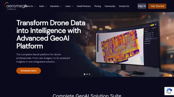 AeroMegh Transform Drone Data into Intelligence with Advanced GeoAI Platform
AeroMegh is a comprehensive GeoAI platform for drone professionals, offering photogrammetry, AI-powered object detection, and geospatial analytics in one integrated solution.
- Freemium
- From 47$
Featured Tools
Join Our Newsletter
Stay updated with the latest AI tools, news, and offers by subscribing to our weekly newsletter.
Explore More Professions
Didn't find tool you were looking for?