What is Regrid?
Regrid offers extensive parcel data covering the United States and Canada, providing a foundational spatial framework for various location-based decisions. The platform delivers detailed information including property boundaries, ownership details, addresses, building footprints, and other geographic insights. This data is standardized and enriched to ensure high quality and usability across different applications.
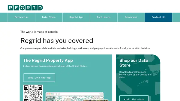
Users can access Regrid's data through multiple channels tailored to different needs. These include an interactive property map application, a data store for purchasing specific county or state datasets, an API for developers, and comprehensive enterprise solutions designed for large-scale workflows. Regrid emphasizes data accuracy and coverage, supporting industries that rely on precise location intelligence.
Features
- Nationwide U.S. Parcel Data: Access comprehensive parcel data covering 100% of the United States.
- Canadian Parcel Data: Offers parcel data coverage for Canada.
- Standardized Property Attributes: Provides unified property data including boundaries, ownership, and addresses.
- Geographic Enrichments: Includes additional geographic insights integrated with parcel data.
- Spatial Add-Ons: Offers matched building footprints, secondary addresses, standardized zoning, and daily ownership updates.
- Multiple Delivery Options: Data available via bulk files (SFTP, cloud), API, Feature Service, Data Store, and Property App.
- Esri Partnership: Serves as Esri's commercial partner for parcel data, offering integration options.
- Data With Purpose Program: Provides support for nonprofits and academic institutions.
Use Cases
- Real Estate Analysis and Investment
- Urban Planning and Development
- Infrastructure Management
- Market Research and Site Selection
- Environmental Assessment
- Insurance Risk Assessment
- GIS and Mapping Applications
- Government and Public Sector Planning
FAQs
-
Does Regrid offer special programs for nonprofits or academic institutions?
Yes, Regrid provides first-class service to nonprofits and universities through its Data With Purpose program.