Top AI tools for mapping
-
 Navmii AI-powered navigation and mapping solutions for businesses
Navmii provides AI-enhanced navigation and mapping technologies, including turn-by-turn voice guidance, live traffic intelligence, and an AI dashcam that analyzes road conditions in real-time.
- Contact for Pricing
-
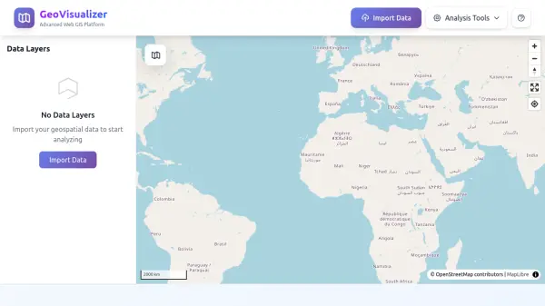 GeoVisualizer Advanced Web GIS Platform for Spatial Data Analysis
GeoVisualizer is an advanced web GIS platform that allows users to import, analyze, and export geospatial data with a variety of spatial analysis tools including buffer analysis, dissolve, centroids, grid generation, and more.
- Free
-
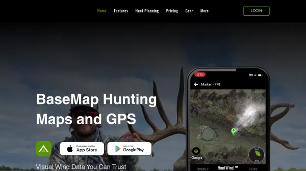 BaseMap Advanced Mobile Hunt Planning and Navigation with AI-Powered Insights
BaseMap is a comprehensive hunting platform offering AI-assisted hunt planning, guaranteed land ownership maps, and advanced navigation tools for outdoor enthusiasts across all 50 states.
- Paid
- From 4$
-
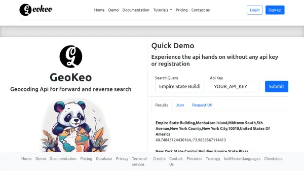 GeoKeo Blazing fast geocoding API with worldwide coverage
GeoKeo is an AI-powered geocoding API service offering forward and reverse search capabilities with fast response times, worldwide coverage, and support for multiple programming languages.
- Freemium
-
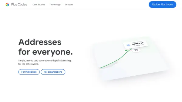 Plus Codes Open location codes for anywhere on Earth
Plus Codes is an open-source addressing system that provides simple, short codes to represent any location on Earth, enabling easy sharing and navigation without traditional addresses.
- Free
-
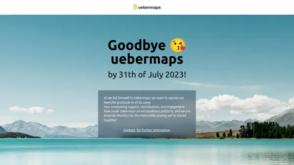 Uebermaps Map Service Platform
Uebermaps was a map service platform that ended its service on July 31, 2023, after a journey supported by user contributions and engagement.
- Other
-
 3DF Zephyr The Complete Photogrammetry Solution
3DF Zephyr is an all-in-one photogrammetry software suite that automatically reconstructs 3D models from photos and videos, supporting various cameras and sensors for applications in surveying, construction, cultural heritage, and more.
- Other
-
 Snappy Mapper Democratising Geospatial Data
Snappy Mapper simplifies spatial data collection for non-technical users, enabling field teams to create GIS-ready data without specialist tools or training.
- Freemium
- From 190$
-
 Pix4D Professional photogrammetry and 3D mapping solutions for digitizing reality
Pix4D provides advanced photogrammetry software and cloud solutions for creating accurate 2D maps, 3D models, and point clouds from drone and terrestrial imagery, serving industries like surveying, construction, agriculture, and public safety.
- Freemium
-
 Geospatial Cloud Serv Advanced geospatial data serving and microservices for comprehensive GIS solutions
Geospatial Cloud Serv provides a powerful self-hosted solution for advanced geospatial data serving, microservices, and APIs, compatible with various GIS platforms and mobile applications.
- Pay Once
-
 Every Door The best OpenStreetMap editor for POIs and entrances.
Every Door is an open-source OpenStreetMap editor designed for mapping points of interest, entrances, and micro-mapping features with offline capabilities and AI-assisted data validation.
- Free
-
 Pelias Geocoder A modular, open-source search engine for our world
Pelias is an open-source geocoder that transforms addresses and place names into geographic coordinates and vice versa, powered by open data and built on Elasticsearch for fast global search.
- Freemium
-
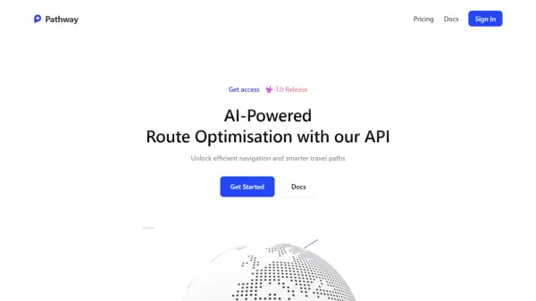 Pathway AI-Powered Route Optimisation with API Solutions
Pathway offers an AI-powered route optimization API that helps businesses and individuals optimize navigation and travel paths, reducing costs and improving efficiency across logistics, ride-sharing, public transportation, and emergency services.
- Freemium
- From 10$
-
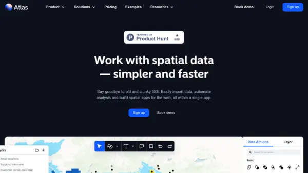 atlas.co Work with spatial data — simpler and faster
Atlas is a browser-based GIS platform designed to simplify the visualization, analysis, and building of spatial data workflows and web applications.
- Freemium
- From 23$
-
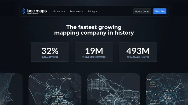 Bee Maps Simplify Fleet Management with AI-Powered Mapping Insights
Bee Maps offers AI-powered fleet management solutions and hyper-fresh mapping data APIs for optimized routing, cost savings, and real-time monitoring.
- Contact for Pricing
-
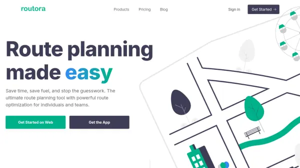 Routora The #1 AI-Powered Route Planner
Routora is an AI-powered route planner designed to optimize multi-stop routes for deliveries, sales trips, and personal travel, saving users time and fuel costs.
- Freemium
- From 10$
-
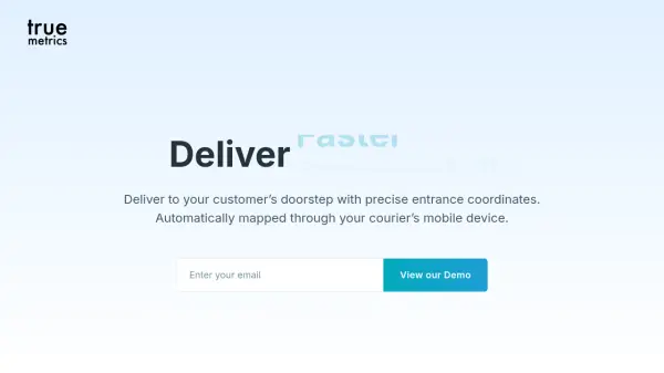 truemetrics Optimize Last-Mile Delivery with Precise Entrance Coordinates
Truemetrics provides precise entrance coordinates and optimal parking positions for deliveries, automatically mapped via courier devices to save time and enhance last-mile efficiency.
- Contact for Pricing
-
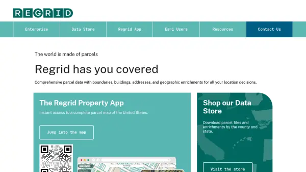 Regrid Comprehensive parcel data with boundaries, buildings, addresses, and geographic enrichments for all your location decisions.
Regrid provides comprehensive parcel data for the U.S. and Canada, including boundaries, ownership, addresses, and geographic insights, accessible via app, data store, API, and enterprise solutions.
- Freemium
-
 Garudalytics Solving real-world challenges using GeoAI.
Garudalytics provides Geospatial AI (GeoAI) solutions, extracting insights from location data to address challenges across various sectors.
- Contact for Pricing
-
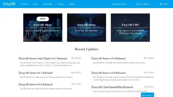 EasyAR Spatial Computing Platform Connecting Everything
EasyAR offers a spatial computing platform with solutions for city-scale mapping, localization, and AR experiences, catering to various industries.
- Freemium
- From 49$
-
 DocentPro AI Powered Travel Companion
DocentPro is an AI-powered travel companion that helps you plan and enjoy your trips with personalized itineraries and audio guides.
- Free
-
 Mobileye Driving the Autonomous Vehicle Evolution
Mobileye is a leader in driver-assist technology and autonomous driving solutions. The company develops advanced driver-assistance systems (ADAS) and technologies for self-driving vehicles, aiming for a safer and more efficient driving future.
- Contact for Pricing
-
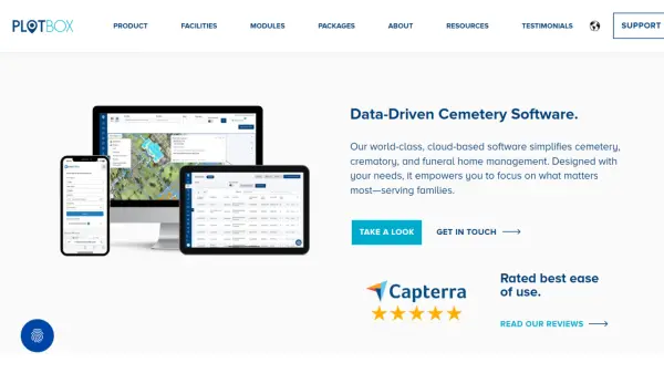 PlotBox Data-Driven Cemetery Software
PlotBox is a comprehensive cloud-based software solution that streamlines cemetery, crematory, and funeral home management through integrated modules for mapping, record keeping, and operational management.
- Contact for Pricing
-
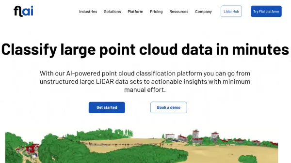 Flai AI-powered point cloud classification platform for LiDAR data processing
Flai is an advanced platform that transforms unstructured LiDAR datasets into actionable insights through AI-powered point cloud classification, offering both cloud-based and self-hosted solutions for efficient data processing.
- Freemium
- From 20$
Explore More Tags
-
compliance tools 77 tools
-
GDPR 57 tools
-
legal research 48 tools
-
productivity 238 tools
-
document interaction 31 tools
-
content analysis 117 tools
-
audio transcription 72 tools
-
video transcription 81 tools
-
meeting minutes 20 tools
Didn't find tool you were looking for?