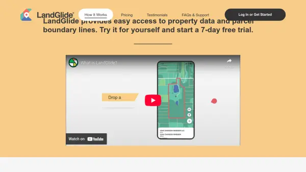


What is LandGlide?
LandGlide is a leading property data and parcel boundary mapping application that delivers instant access to comprehensive real estate information for parcels across more than 3,200 U.S. counties. Utilizing GPS technology, users can accurately pinpoint their location on a map, view detailed property information, and interact with data both online and offline.
The platform enables users to explore essential parcel details such as property ownership, site address, acreage, sale price, transfer date, and more. Whether accessed on mobile or desktop, LandGlide simplifies property research for individuals and teams, providing robust functionality like favoriting properties, note-taking, and data export features, all backed by one of the most extensive spatial databases in the industry.
Features
- Comprehensive Parcel Data: Access to over 157 million parcel records covering 99% of the U.S. population
- Instant GPS Location: Pinpoints user location on maps with high accuracy
- Detailed Property Information: Provides data including owner, acreage, sale price, and more
- Online and Offline Access: View parcel data anytime, regardless of connectivity
- Cross-Device Availability: Use on both mobile devices and desktops
- Favorites and Notes: Save preferred parcels, add notes, and export data
- Team Plans: Corporate account options available for organizations
Use Cases
- Researching property ownership and boundaries in the field
- Locating and identifying parcel corners for real estate or land surveys
- Managing large property portfolios for asset management
- Supporting due diligence for land acquisitions and sales
- Assisting in property valuation and site assessment
- Planning property-related projects with accurate spatial data
FAQs
-
What devices can I use LandGlide on?
LandGlide is available for use on both mobile devices and desktop computers, ensuring access across all your preferred platforms. -
Does LandGlide provide property data for the entire United States?
Yes, LandGlide offers access to parcel records in over 3,200 counties, covering more than 99% of the U.S. population. -
Is offline access to parcel data available?
Yes, LandGlide provides offline access to parcel data, allowing users to view information even without an internet connection. -
What types of property information can I find with LandGlide?
Users can access details including property owner, mailing and site address, square footage, acreage, school district, sale price, transfer date, and more. -
Is there a free trial for LandGlide?
A 7-day free trial is available to all new users, after which subscription fees apply.