Top AI tools for GIS Analyst
-
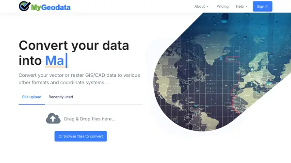 MyGeodata Converter Convert GIS and CAD data online with ease
MyGeodata Converter is an online tool for converting vector and raster GIS/CAD data between various formats and coordinate systems. It supports bulk conversions, CAD formats, and Google Earth output.
- Freemium
- From 10$
-
 NextGIS All-in-one GIS platform for maps and geodata
NextGIS provides comprehensive GIS solutions with web, mobile, desktop, and server tools for creating, managing, and sharing spatial data and interactive maps.
- Contact for Pricing
-
 Blackshark.ai Real-time Semantic 3D Digital Twin of the Planet
Blackshark.ai generates a real-time, accurate, semantic, and photorealistic 3D digital twin of the entire planet using machine learning and satellite imagery. This technology supports various applications, including simulation, visualization, and geospatial analytics.
- Contact for Pricing
-
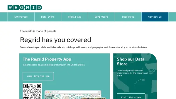 Regrid Comprehensive parcel data with boundaries, buildings, addresses, and geographic enrichments for all your location decisions.
Regrid provides comprehensive parcel data for the U.S. and Canada, including boundaries, ownership, addresses, and geographic insights, accessible via app, data store, API, and enterprise solutions.
- Freemium
-
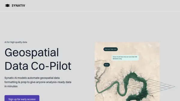 Synativ Geospatial Data Co-Pilot
Synativ utilizes AI to automate geospatial data formatting and preparation, delivering analysis-ready data in minutes. It significantly reduces manual labor and human error in geospatial data processing.
- Contact for Pricing
-
 Geospatial Cloud Serv Advanced geospatial data serving and microservices for comprehensive GIS solutions
Geospatial Cloud Serv provides a powerful self-hosted solution for advanced geospatial data serving, microservices, and APIs, compatible with various GIS platforms and mobile applications.
- Pay Once
-
 AiDASH Securing Tomorrow: Safeguarding Critical Infrastructure with AI
AiDASH offers AI-powered solutions for critical infrastructure management. Its satellite-based systems help industries improve reliability, reduce costs, and manage risks.
- Contact for Pricing
-
 MangoMap Powerful, Affordable Online GIS Mapping for Professionals
MangoMap is an easy-to-use, cost-effective online GIS mapping platform designed for professionals who need robust mapping capabilities without the complexity or high licensing fees of traditional solutions.
- Paid
- From 79$
-
 GeoVisualizer Advanced Web GIS Platform for Spatial Data Analysis
GeoVisualizer is an advanced web GIS platform that allows users to import, analyze, and export geospatial data with a variety of spatial analysis tools including buffer analysis, dissolve, centroids, grid generation, and more.
- Free
-
 atlas.co Work with spatial data — simpler and faster
Atlas is a browser-based GIS platform designed to simplify the visualization, analysis, and building of spatial data workflows and web applications.
- Freemium
- From 23$
-
 SeeTree AI-Powered Optimization Platform for Leading Agribusinesses
SeeTree offers an AI-powered optimization platform for agribusinesses, providing comprehensive data and tools to enhance planning, execution, and efficiency in agricultural operations.
- Contact for Pricing
-
 repromptai.com AI Agents for Location Data
Reprompt provides AI agents to automatically enrich and validate location data. It offers real-time data updates, custom attribute generation, and automated review of place and GIS data.
- Usage Based
-
 Wherobots The Spatial Intelligence Cloud for Planetary-Scale Analytics
Wherobots is a comprehensive spatial data platform that combines ETL, analytics, and AI capabilities for processing geospatial data at scale, created by the original developers of Apache Sedona.
- Freemium
-
 Garudalytics Solving real-world challenges using GeoAI.
Garudalytics provides Geospatial AI (GeoAI) solutions, extracting insights from location data to address challenges across various sectors.
- Contact for Pricing
-
 GeoComm GIS Solutions for Enhanced Emergency Response and Public Safety
GeoComm delivers advanced GIS mapping software and services designed to improve emergency response, school safety, and data management for public safety agencies and educational institutions.
- Contact for Pricing
-
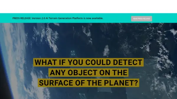
 FlyPix AI Geospatial AI Platform for Analyzing Earth's Surface
FlyPix AI is a geospatial analysis platform that uses AI to detect and analyze objects in images. Train custom AI models and analyze geospatial data tied to coordinates.
- Freemium
- From 50$
-
 BioBase Automated aquatic habitat mapping and fish data generation powered by AI.
BioBase is an AI-powered platform that automates the creation of detailed aquatic habitat maps and fish data from sonar recordings, using cloud-based processing for accessible, shareable insights.
- Contact for Pricing
-
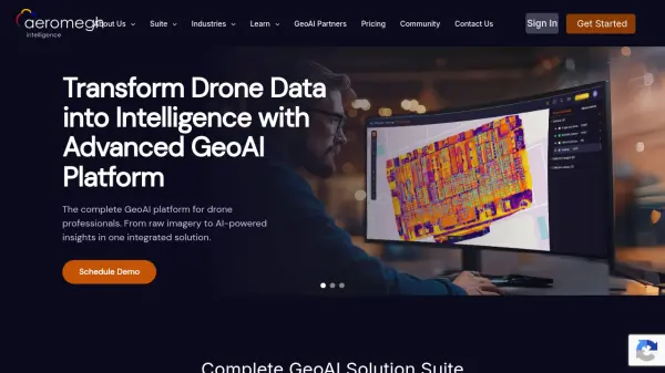 AeroMegh Transform Drone Data into Intelligence with Advanced GeoAI Platform
AeroMegh is a comprehensive GeoAI platform for drone professionals, offering photogrammetry, AI-powered object detection, and geospatial analytics in one integrated solution.
- Freemium
- From 47$
-
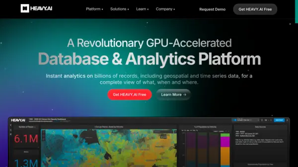 HEAVY.AI Instant Analytics on Billions of Records
HEAVY.AI is a revolutionary GPU-accelerated database and analytics platform providing instant insights on billions of records, including geospatial and time series data.
- Freemium
-
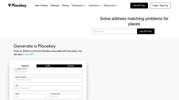 Placekey Solve address matching problems for places
Placekey provides a universal identifier for any physical place, simplifying data sharing and solving address matching challenges across organizations using a unique 'What@Where' format.
- Freemium
- From 200$
-
 Picterra Reliable GeoAI solution for sustainability, compliance, transparency, accountability, monitoring, and verification.
Picterra is a GeoAI platform that enables users to build and deploy custom AI models for geospatial imagery analysis. It supports various data types and offers solutions for multiple industries, facilitating scalable and collaborative geospatial analysis.
- Contact for Pricing
Featured Tools
Join Our Newsletter
Stay updated with the latest AI tools, news, and offers by subscribing to our weekly newsletter.
Explore More Professions
Didn't find tool you were looking for?