What is GeoComm?
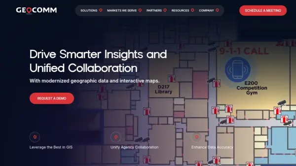
GeoComm is a leader in providing cutting-edge GIS solutions that transform emergency response and public safety operations. Their software and services enable agencies to access precise, up-to-date geographic data, facilitating rapid and accurate responses during critical incidents. By integrating indoor safety mapping and real-time data updates, GeoComm ensures that responders can pinpoint locations within complex environments such as schools, government buildings, and commercial spaces.
Specializing in GIS data management, indoor mapping, and school safety visualizations, GeoComm supports agencies in maintaining high data accuracy and operational efficiency. The platform is trusted nationwide, safeguarding millions of people by delivering comprehensive mapping insights and supporting unified collaboration across emergency teams, public safety professionals, and educational administrators.
Features
- Real-Time GIS Data: Access up-to-date geographic and mapping information for faster emergency responses.
- Indoor Mapping: Generate interactive maps of indoor environments for accurate location identification during incidents.
- School Safety Visualization: Create detailed, responsive campus maps for emergency planning and incident management.
- GIS Data Management: Simplify the process of maintaining and updating complex GIS datasets for public safety standards.
- Unified Collaboration: Enable seamless communication and data sharing among agencies and safety teams.
Use Cases
- Accelerating 9-1-1 emergency response by pinpointing caller locations indoors.
- Supporting school districts in meeting legislative safety mapping requirements.
- Assisting public safety agencies with up-to-date GIS data management.
- Creating interactive maps for emergency drills and planning.
- Optimizing building and campus safety protocols through accurate indoor mapping.