What is Blackshark.ai?
The blackshark.ai geospatial platform leverages machine learning to extract insights about the planet's infrastructure from current satellite and aerial imagery at a global scale. Missing data attributes are enriched by AI to create a photorealistic, geo-typical, or asset-specific digital twin.
This powerful technology enables rapid updates and can be utilized for a variety of enterprise solutions, including visualization, simulation, mapping, and mixed reality environments. Blackshark.ai's massive cloud-computing capability facilitates quick processing and delivery of this planetary-scale data.
Features
- Globe Data Input Sources: Ingests and processes various satellite, aerial, DEM, and geospatial data globally.
- No Code Data Labeling: Patented solution offers rapid ML training for object identification.
- Geointelligence at Scale: Powerful neural network detects and extracts features accurately and rapidly.
- 3D Semantic Map: Provides an accurate geo-referenced database of planet surface infrastructure.
- Synthetic Environments: Creates realistic 3D simulation environments, including terrain, buildings, and vegetation.
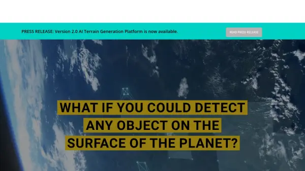
- ORCA™HUNTR: AI tool to identify any object on Earth's surface without needing coding experience
- Blackshark.ai SYNTH3D: Synthetic, realistic 3D replica of the planet with semantic information.
- Digital Airports: Recreates any airport globally with high detail using procedural technology.
- Synthetic Training Data: Generates region-specific, geo-referenced synthetic training images for machine learning.
- Semantic 3D City Models: Offers georeferenced 3D vector maps extracted from imagery.
Use Cases
- Flight simulation and image generation
- Pilot training and sensor simulation
- UAV and eVTOL training
- Synthetic movie backgrounds
- Imagery derived synthetic environments
- Global multi-domain training
- Smart city visualization
- AV training scenarios
- Drone delivery training
- Insurance risk analysis
- Urban planning
- City planning
- Vegetation management
- Cadastral registration
- Object and change detection
- Large scale change detection
- Multi-class object labeling and training