 ReddRadar
Top AI tools for Urban Planner
-
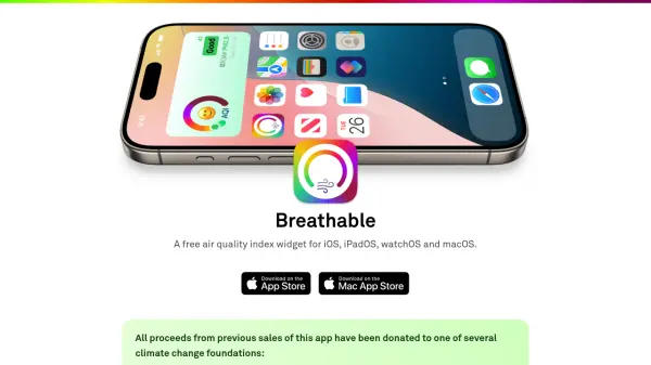 Breathable A free customizable Air Quality Index widget for all your Apple devices
Breathable is a free Air Quality Index widget for iOS, iPadOS, watchOS, and macOS, providing real-time air quality data from global and US sources to help users assess outdoor safety.
- Free
-
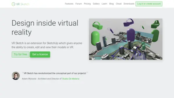 VR Sketch Design inside virtual reality with real-time SketchUp integration
VR Sketch is a virtual reality extension for SketchUp that enables architects and designers to create, edit, and present 3D models in immersive VR environments with real-time synchronization.
- Freemium
- From 9$
-
 TripSpark Moving People Together with Intelligent Transit Solutions
TripSpark provides AI-powered transit management software and hardware solutions for fixed route, paratransit, microtransit, and rideshare operations, helping agencies optimize service and grow ridership.
- Contact for Pricing
-
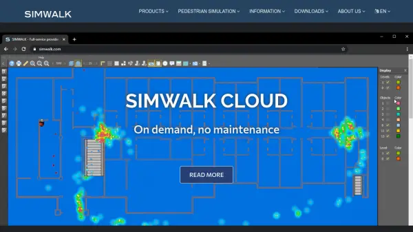 SimWalk Pedestrian Simulation Software for Safer, Smarter Venues
SimWalk is a leading pedestrian simulation software used by authorities and consultancies worldwide to analyze and manage crowd dynamics in transport, aviation, sports, and building environments.
- Paid
-
 Visualizee.ai From Concepts to Realistic Visualizations in 10 Seconds
Visualizee.ai is a leading AI rendering tool designed to transform sketches, images, 3D models, or text prompts into stunning realistic renders within seconds, saving time and resources for architects and designers.
- Freemium
- From 9$
- API
-
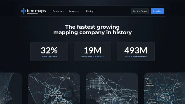 Bee Maps Simplify Fleet Management with AI-Powered Mapping Insights
Bee Maps offers AI-powered fleet management solutions and hyper-fresh mapping data APIs for optimized routing, cost savings, and real-time monitoring.
- Contact for Pricing
-
 Easy Render High-quality 3D architectural rendering services for architects, designers, and developers.
Easy Render connects you with a global network of top 3D artists for stunning 3D architectural renderings, including interior, exterior, aerial, and VR renderings. Post a job, hire the best artist, collaborate online, and pay securely.
- Contact for Pricing
-
 SmartComment Powerful Software for Public Comments & Community Engagement
SmartComment is an AI-powered platform that transforms stakeholder engagement by streamlining public comment analysis, response workflows, and community collaboration for agencies and organizations.
- Contact for Pricing
-
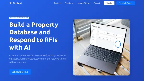 Sitehunt Build a Property Database and Respond to RFIs with AI
Sitehunt provides an AI-enhanced property database and RFI automation platform specifically designed for economic development professionals to streamline workflows and respond to requests efficiently.
- Contact for Pricing
-
 Trafi Multi-modal journey planning platform for sustainable urban mobility
Trafi provides a comprehensive B2G multi-modal journey planning technology platform that integrates public transport and micro-mobility services to help cities reduce congestion and emissions through sustainable travel solutions.
- Contact for Pricing
-
 Modelur SketchUp Supercharged for Urban Design
Modelur is an AI-powered urban design plugin for SketchUp that enables architects and planners to explore design possibilities with real-time feedback on key metrics through seamless Excel integration.
- Freemium
- From 74$
-
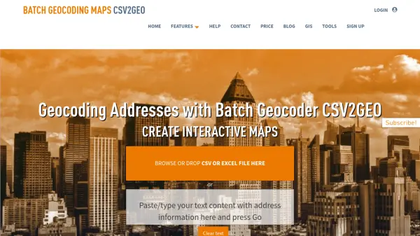 CSV2GEO Batch Geocoding, Reverse Geocoding, and Interactive Map Creation
CSV2GEO is an online tool for converting addresses to geographic coordinates (latitude/longitude) and vice-versa in bulk. It also enables users to create and publish interactive maps from their data.
- Freemium
-
 Plus Codes Open location codes for anywhere on Earth
Plus Codes is an open-source addressing system that provides simple, short codes to represent any location on Earth, enabling easy sharing and navigation without traditional addresses.
- Free
-
 Seety Drive. Park. Relax. Save time and money on your parking, gas fill-ups, and electric recharges.
Seety is a comprehensive mobility app that helps drivers find, pay for, and manage parking, fuel, and electric vehicle charging across Europe with real-time information and transparent pricing.
- Free
-
 Hexagon Precision AI Solutions for Industry Transformation
Hexagon delivers advanced AI-enabled technologies to improve productivity, quality, and sustainability across sectors such as construction, manufacturing, mining, and urban development.
- Contact for Pricing
-
 Spectator Live Satellite Monitoring and Centralized Data Access
Spectator is an AI-powered platform that provides seamless access to Earth observation satellite data from programs like Copernicus Sentinels and USGS/NASA Landsat, offering daily fresh satellite images, high-resolution commercial imagery, and flexible tools for tracking satellite passes and scheduling imaging.
- Freemium
-
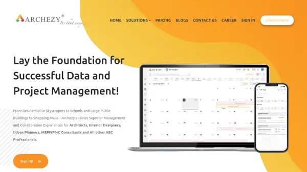 Archezy Lay the Foundation for Successful Data and Project Management for AEC Professionals
Archezy is a comprehensive project and data management platform designed specifically for architects, interior designers, urban planners, and AEC professionals to streamline collaboration, enhance efficiency, and deliver exceptional project outcomes.
- Freemium
- From 30$
-
 ARU SKYNET On-Demand Aerial Intelligence for Smarter Decisions
ARU SKYNET is an AI-powered drone data management platform that enables organizations to upload, analyze, and collaborate on aerial intelligence with 20x higher resolution for enhanced decision-making.
- Contact for Pricing
-
 Population.io Explore global population statistics and personal demographic insights
Population.io provides interactive tools to analyze world population data and calculate personal demographic rankings based on birthdate and location.
- Free
-
 Go Jauntly Your walking app for everyday outdoor adventures
Go Jauntly is a walking app that helps users discover nature-filled walking routes, enjoy walking challenges, and create their own walks with photo guides and nature notes.
- Freemium
- From 4$
-
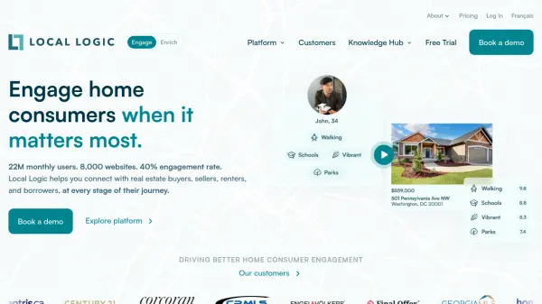 Local Logic Location Intelligence That Drives Home Consumer Engagement
Local Logic is an AI-powered location intelligence platform that provides rich neighborhood insights and data-driven tools for real estate professionals to engage home consumers, generate leads, and enhance digital experiences.
- Other
- From 20$
-
 CivilGEO Advanced Stormwater and Civil Engineering Software Solutions
CivilGEO offers advanced software tools for rapid design, analysis, and review of stormwater and HEC-RAS models, streamlining engineering workflows for urban and rural environments.
- Contact for Pricing
-
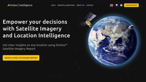 OnGeo Intelligence Empower your decisions with Satellite Imagery and Location Intelligence
OnGeo Intelligence provides AI-enhanced satellite imagery reports with global coverage, delivering clear PDF insights and data packages for various professional applications without requiring technical skills or subscriptions.
- Pay Once
-
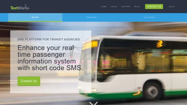 TextMarks SMS Platform for Transit Agencies
TextMarks provides a fully-hosted SMS solution for transit agencies to deliver real-time passenger information and alerts via text messaging, accessible on any mobile phone without requiring apps.
- Contact for Pricing
-
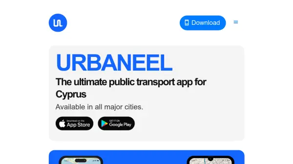 Urbaneel The Ultimate Public Transport App for Cyprus
Urbaneel is an interactive public transport app designed for Cyprus, featuring real-time bus tracking, live arrival times, and location-based nearby stop detection for both locals and tourists.
- Free
-
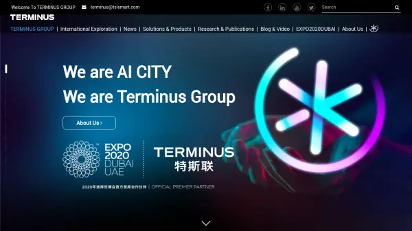 Terminus Group Shaping the Next Generation of Technology with AIoT
Terminus Group is an international AI smart service provider, specializing in Artificial Intelligence & Internet of Things (AIoT) solutions for smart cities, sustainable development, and robotics.
- Contact for Pricing
-
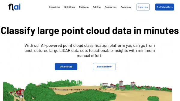 Flai AI-powered point cloud classification platform for LiDAR data processing
Flai is an advanced platform that transforms unstructured LiDAR datasets into actionable insights through AI-powered point cloud classification, offering both cloud-based and self-hosted solutions for efficient data processing.
- Freemium
- From 20$
-
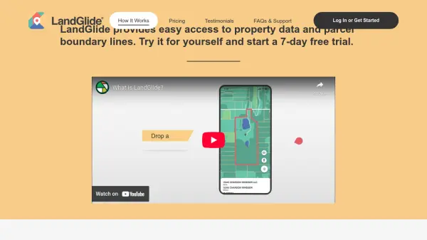 LandGlide Comprehensive Parcel Data and Property Line Mapping Anywhere
LandGlide offers advanced parcel data and property line mapping with GPS location, providing access to over 157 million U.S. parcel records on desktop and mobile devices.
- Freemium
- From 10$
-
 FlyPix AI Geospatial AI Platform for Analyzing Earth's Surface
FlyPix AI is a geospatial analysis platform that uses AI to detect and analyze objects in images. Train custom AI models and analyze geospatial data tied to coordinates.
- Freemium
- From 50$
-
 Archiore Join a community of architects sharing their work, learning from each other, and showcasing their portfolios.
Archiore is a community platform for architects to share portfolios, showcase projects, and gain feedback from peers while discovering inspiring designs and plans.
- Other
-
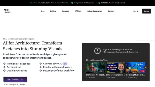 ArchSynth AI for Architecture: Transform Sketches into Stunning Visuals
ArchSynth is an AI-powered tool that transforms architectural sketches and 2D images into photorealistic renders and 3D models, streamlining the design process for architects and designers.
- Paid
- From 9$
-
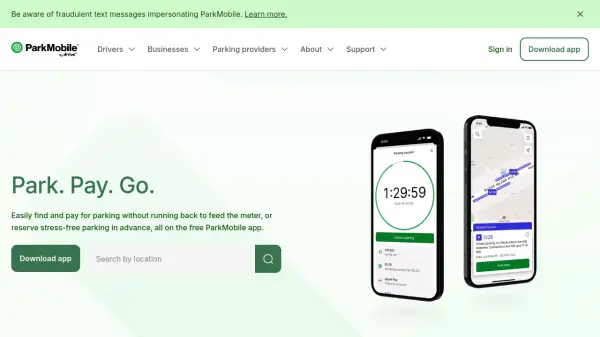 ParkMobile Park. Pay. Go. The smarter way to park.
ParkMobile is a smart parking app that allows users to find, pay for, and reserve parking spots easily, while offering business solutions for parking management and expense tracking.
- Free
-
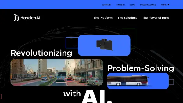 Hayden AI Revolutionizing Problem-Solving with AI
Hayden AI provides an AI-powered mobile perception platform that utilizes deep learning for various applications, including automated traffic enforcement and data-driven insights for cities.
- Contact for Pricing
-
 Wayfindr Empowering Independent Indoor Navigation for the Vision Impaired
Wayfindr is an award-winning non-profit creating accessible audio navigation standards to help blind and partially sighted individuals navigate indoor environments independently.
- Free
-
 Atlas AI The AI Platform for Geospatial Insights
Atlas AI is a geospatial AI platform providing hyperlocal socio-demographic indicators and forecasting tools, empowering data scientists with location intelligence.
- Contact for Pricing
-
 GoMore Del biler og pas bedre på planeten
GoMore is a car-sharing platform that enables users to rent cars from people nearby or share their own cars when not in use, with insurance and 24/7 roadside assistance included.
- Other
-
 Pelias Geocoder A modular, open-source search engine for our world
Pelias is an open-source geocoder that transforms addresses and place names into geographic coordinates and vice versa, powered by open data and built on Elasticsearch for fast global search.
- Freemium
-
 TransLoc Transportation solutions at the speed of life
TransLoc provides comprehensive transit software solutions for fixed route and on-demand transportation systems, helping agencies optimize operations and enhance rider experiences.
- Contact for Pricing
-
 The Boring Company Accelerate Civilization With Subterranean Technology
The Boring Company develops safe, fast-to-dig, and low-cost transportation, utility, and freight tunnels to solve traffic congestion and enable rapid point-to-point transportation in cities.
- Contact for Pricing
-
 Geospatial Cloud Serv Advanced geospatial data serving and microservices for comprehensive GIS solutions
Geospatial Cloud Serv provides a powerful self-hosted solution for advanced geospatial data serving, microservices, and APIs, compatible with various GIS platforms and mobile applications.
- Pay Once
-
 HotCiti AI-Powered Town Discovery
HotCiti is an AI-powered platform that helps users find and explore US towns based on their preferences, providing comprehensive reports with real-time data from Google Maps and Places.
- Other
-
 TestFit Real Estate Feasibility Platform for Faster Deal Evaluation
TestFit is an AI-powered real estate feasibility platform that accelerates site planning and deal evaluation using generative design and real-time insights.
- Paid
- From 100$
-
 AIBOT The High-Tech & High Performance aiEVTOL
AIBOT is developing AI-defined, high-performance electric Vertical Take-Off and Landing (aiEVTOL) aircraft to revolutionize regional mobility, offering a safe, zero-emission, and cost-efficient solution.
- Contact for Pricing
-
 MOBIX Mobility Marketplace Seamless EV Charging and Parking with AI-powered Rewards
MOBIX Mobility Marketplace connects drivers to public and private EV charging stations, offering easy reservations, seamless payments, and eco-friendly mobility rewards powered by AI agents.
- Free
-
 GardenBox 3D User-Friendly 3D Landscape Design Software for Homeowners
GardenBox 3D is powerful, user-friendly landscape design software that allows users to create and visualize garden, backyard, and exterior house plans in 3D, complete with customizable materials and real-time previews.
- Freemium
-
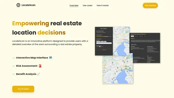 LocaleScan Empowering Real Estate Location Decisions
LocaleScan provides a detailed overview of areas surrounding real estate properties, utilizing AI to assess risks and benefits for informed decision-making.
- Free
-
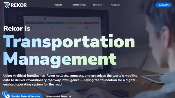 Rekor Revolutionary Roadway Intelligence Powered by AI
Rekor is an advanced AI-powered roadway intelligence platform that collects, connects, and analyzes mobility data to provide comprehensive traffic management, vehicle recognition, and public safety solutions.
- Contact for Pricing
-
 PIXTA AI Get Trusted Order Made Visual Dataset Easily
PIXTA AI is a comprehensive data marketplace platform that provides customized visual datasets and data annotation services for AI development, focusing on computer vision, audio, and language processing applications.
- Contact for Pricing
-
 Oobeo Contactless Parking Management Software
Oobeo provides an integrated suite of contactless parking software for mobile payments, permits, valet, and attendant-managed locations, helping operators maximize revenue and efficiency.
- Freemium
-
 Humans.ai Making AI Work for Humans
Humans.ai is an AI and blockchain ecosystem offering personalized AI tools designed to deliver transparent, equitable, and ethical AI solutions. It pioneers a decentralized approach to data validation, ensuring fair and unbiased AI systems.
- Contact for Pricing
Featured Tools
Join Our Newsletter
Stay updated with the latest AI tools, news, and offers by subscribing to our weekly newsletter.
Didn't find tool you were looking for?