 ReddRadar
Top AI tools for Urban Planner
-
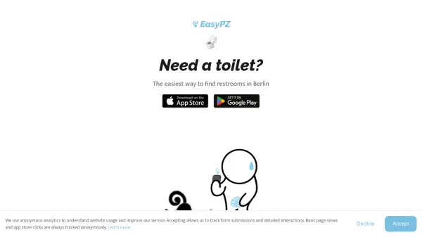 EasyPZ The easiest way to find restrooms in Berlin
EasyPZ is a free mobile app that helps users quickly locate nearby restrooms in Berlin, designed to be more reliable and faster than Google Maps.
- Free
-
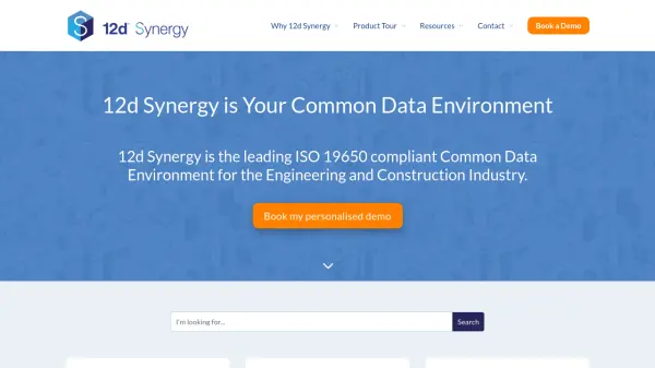 12d Synergy ISO 19650 Compliant Common Data Environment for Engineering and Construction
12d Synergy provides a streamlined Common Data Environment (CDE) for engineering and construction, enabling efficient document, email, and data management for all project stakeholders.
- Contact for Pricing
-
 4M Analytics The ultimate source of utility data
4M Analytics is an AI-powered utility mapping and analytics platform that provides real-time utility data and infrastructure mapping solutions for project owners, engineers, and contractors during early-stage infrastructure development.
- Contact for Pricing
-
 Switch AI-Powered Fleet Operations & Urban Mobility Planning
Switch leverages advanced AI technologies to optimize fleet operations, demand forecasting, and infrastructure planning for urban mobility stakeholders.
- Contact for Pricing
-
 INRIX Leading Transportation Analytics Solutions Powered by AI
INRIX provides AI-driven transportation analytics solutions that leverage big data to improve mobility, enhance safety, and optimize business operations across various industries.
- Contact for Pricing
-
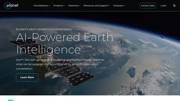 Planet AI-Powered Earth Intelligence for Global Monitoring and Decision Making
Planet provides AI-powered Earth observation and intelligence solutions through satellite constellations, offering daily global monitoring, high-resolution tasking, and analytics for industries like agriculture, defense, and sustainability.
- Freemium
- From 28$
-
 Takeout Tools Export Real Location Data from Your Google Maps Saved Places
Takeout Tools transforms Google Takeout exports by automatically extracting addresses and coordinates from Google Maps URLs, converting them into usable formats like CSV, JSON, GPX, KML, and GeoJSON for mapping tools, GIS applications, and spreadsheets.
- Freemium
- From 190$
-
 Garudalytics Solving real-world challenges using GeoAI.
Garudalytics provides Geospatial AI (GeoAI) solutions, extracting insights from location data to address challenges across various sectors.
- Contact for Pricing
-
 Dance Your all-in-one ebike & moped subscription service
Dance is an electric mobility subscription service providing top-of-the-range e-bikes and e-mopeds with on-demand repairs, theft protection, and ride tracking for a fixed monthly price.
- Paid
-
 Roadcount Monitor and record traffic on your street, 24/7, automatically on your phone
Roadcount utilizes your phone to automatically monitor, count, and record street traffic 24/7, providing evidenced data including speed estimates.
- Contact for Pricing
-
 Danti Make sense of the world's data through intelligent search and analysis
Danti is an AI-powered search and analysis platform that synthesizes diverse data sources including imagery, news, and social media to provide comprehensive insights about any location on Earth.
- Contact for Pricing
-
 Susterra Advanced Analytics for Public Finance
Susterra provides advanced analytics platforms using AI and ML for public finance stakeholders, aiming to enhance urban development and grow the Municipal Bond Market.
- Paid
- From 999$
-
 Wings Engine Interactive 3D and XR Creation Platform for the Web
Wings Engine is a no-code, web-based platform designed to enable interactive 3D and XR creation with real-time rendering, suitable for industries ranging from product display to building planning.
- Other
-
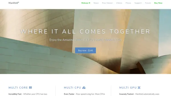 Manifold The world's fastest GIS with built-in parallel DBMS and real SQL
Manifold is a high-performance Geographic Information System (GIS) that combines spatial data visualization with advanced parallel database management capabilities, delivering exceptional speed and reliability for handling large datasets.
- Pay Once
-
 Ask Vandelay Your Ultimate AI Architecture Image Generator
Ask Vandelay is an AI-powered architectural image generator that transforms simple prompts into stunning, high-quality architectural visualizations using OpenAI's API technology.
- Pay Once
-
 boardyonboard.com The Original Boardscooter for All-Terrain Gliding
Boardy is a premium boardscooter featuring a flexible wooden frame for smooth, surf-like rides across various terrains, designed with sustainability and durability in mind.
- Paid
-
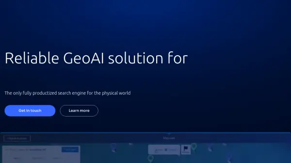 Picterra Reliable GeoAI solution for sustainability, compliance, transparency, accountability, monitoring, and verification.
Picterra is a GeoAI platform that enables users to build and deploy custom AI models for geospatial imagery analysis. It supports various data types and offers solutions for multiple industries, facilitating scalable and collaborative geospatial analysis.
- Contact for Pricing
-
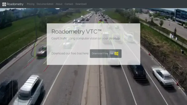 Roadometry Count traffic using computer vision on your desktop.
Roadometry provides desktop software utilizing computer vision to count traffic, offering valuable data for transportation analysis and system integration.
- Free Trial
-
 GoodVision AI-Driven Traffic Solutions for Safer, Smarter Cities
GoodVision offers AI-powered traffic monitoring and analytics solutions that help cities optimize traffic flow, prevent congestion, and enhance road safety through real-time camera-based analytics.
- Contact for Pricing
-
 Permitify Design with Confidence. Submit with Certainty.
Permitify offers AI-powered site-specific code research and plan review for architects and engineers, helping to catch compliance issues early and streamline the permit submission process.
- Paid
- From 99$
-
 GeoSurvey Professional Land Surveying and 3D Laser Scanning Services
GeoSurvey provides comprehensive land surveying and 3D laser scanning services with over 10,000 surveys completed since 1996, serving commercial, construction, and residential markets.
- Contact for Pricing
-
 PAM Transform Complex Spaces into Seamless Destinations
PAM is a cloud-based digital wayfinding platform that integrates navigation, customer experience, and operational management for large, complex environments such as stadiums, airports, campuses, and smart cities.
- Contact for Pricing
-
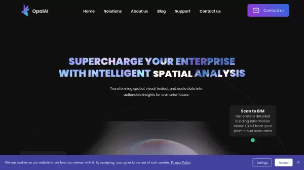 OpalAI Transforming spatial data into actionable insights with intelligent analysis
OpalAI is an advanced AI platform that converts spatial, visual, and point cloud data into detailed 3D models, BIM (Building Information Models), and actionable insights for various industries.
- Usage Based
- From 1$
-
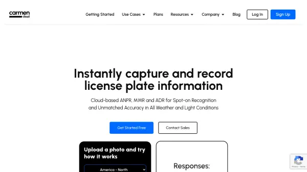 Carmen Cloud Advanced Cloud-Based License Plate Recognition for Global Vehicle Monitoring
Carmen Cloud delivers powerful, AI-driven license plate recognition, vehicle make and model recognition, and automated detection across 200+ countries through a flexible, cloud-based platform.
- Freemium
- From 35$
-
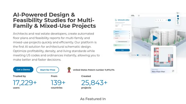 ARK AI-Powered Design & Feasibility Studies for Multi-Family & Mixed-Use Projects
ARK is an AI-powered platform for architects and real estate developers that automates floor plan generation and feasibility reports for multi-family and mixed-use projects, optimizing for profitability and code compliance.
- Freemium
- From 199$
-
 Sound Event Detector (SED) AI-powered sound analysis for real-time threat detection and security enhancement.
SED (Sound Event Detector) is an AI-powered solution that uses sound analysis to detect dangerous situations like gunshots, screams, aggression, and drones, providing real-time alerts to enhance security and save lives.
- Contact for Pricing
-
 FixMyStreet Mapping and reporting street problems to the councils responsible for fixing them – anywhere in the UK.
FixMyStreet is a UK-based platform that enables citizens to report local street problems like potholes, graffiti, and fly-tipping directly to their local councils, with over 34,000 reports weekly and 42,000 issues fixed monthly.
- Free
-
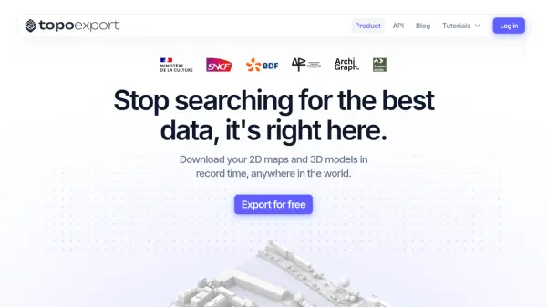 TopoExport Download 2D maps and 3D models in record time, anywhere in the world.
TopoExport is an AI-powered platform that enables professionals to quickly export customizable 2D topographic maps and 3D terrain models in various vector formats for architecture, urban planning, and design projects.
- Freemium
-
 Instant Street View Instantly explore any location with Google Street View
Instant Street View is an AI-powered tool that provides immediate access to Google Street View imagery by simply typing an address or place name, enabling users to explore locations worldwide with ease.
- Freemium
- From 6$
-
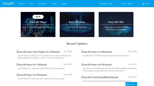 EasyAR Spatial Computing Platform Connecting Everything
EasyAR offers a spatial computing platform with solutions for city-scale mapping, localization, and AR experiences, catering to various industries.
- Freemium
- From 49$
-
 Parknav The most precise parking solution powered by AI
Parknav utilizes AI and big data to provide real-time on-street and off-street parking availability predictions and restriction information across over 1000 cities.
- Freemium
- From 5$
-
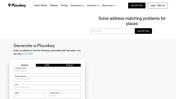 Placekey Solve address matching problems for places
Placekey provides a universal identifier for any physical place, simplifying data sharing and solving address matching challenges across organizations using a unique 'What@Where' format.
- Freemium
- From 200$
-
 Dassault Systèmes Virtual Worlds for Real Life
Dassault Systèmes provides businesses and people with virtual universes to create sustainable products and services. Leveraging virtual twin experiences, the company drives innovation across various sectors.
- Contact for Pricing
-
 Vector2Raster Tiles Convert Vector Tiles to Raster Tiles Effortlessly
Vector2Raster Tiles automates the conversion of PBF vector tiles to raster formats, facilitating integration with mapping applications that require raster tile support.
- Paid
- From 5$
-
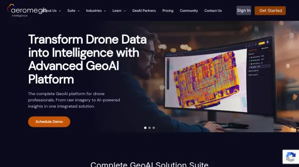 AeroMegh Transform Drone Data into Intelligence with Advanced GeoAI Platform
AeroMegh is a comprehensive GeoAI platform for drone professionals, offering photogrammetry, AI-powered object detection, and geospatial analytics in one integrated solution.
- Freemium
- From 47$
-
 Galigeo Location Intelligence Platform for Business Performance
Galigeo is a comprehensive location intelligence platform that provides geomarketing, geodecision-making, and commercial efficiency solutions through predictive analytics and spatial data integration.
- Contact for Pricing
-
 HydroCAD The competitive edge in hydrology & hydraulics software since 1986
HydroCAD is a Computer Aided Design tool for modeling stormwater runoff, offering a wide range of hydrology and hydraulics capabilities to speed up engineering workflows ten-fold.
- Other
-
 PolicyMap Comprehensive Mapping & Data Analytics For Smarter Decision-Making
PolicyMap is a cloud-based platform offering extensive data mapping, visualization, and analytics tools, empowering users to make impactful, data-driven decisions across sectors such as government, non-profit, finance, academic, and healthcare.
- Contact for Pricing
-
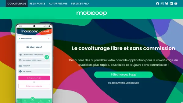 Mobicoop The commission-free, cooperative carpooling platform
Mobicoop is a free, commission-free carpooling service built on open-source software and cooperative principles, offering daily carpooling without fees or advertisements.
- Free
-
 inteliLIGHT Intelligent street lighting remote management system for smart cities
inteliLIGHT is a comprehensive smart street lighting solution that combines software, controllers, and communication technologies to enable remote management, energy savings, and smart city integrations.
- Contact for Pricing
-
 Zumper Find your fresh start with millions of rental listings
Zumper is an AI-powered rental platform that helps users discover and apply for over 1 million houses and apartments for rent across the U.S. and Canada, offering comprehensive listings, useful resources, and verified information for a secure rental experience.
- Other
-
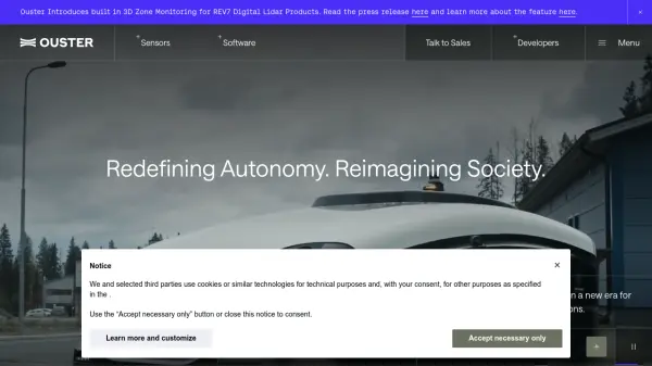 Ouster High-resolution lidar sensors and perception software for autonomy.
Ouster provides high-resolution digital lidar sensors and AI-powered perception software designed to enhance safety, efficiency, and autonomy across various industries including automotive, robotics, and smart infrastructure.
- Contact for Pricing
-
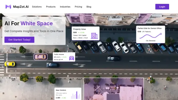 MapZot.AI AI-Powered Location Analytics for Strategic Expansion
MapZot.AI provides AI-driven location analytics to help businesses optimize site selection, market planning, and sales forecasting. Leverage real-time data and insights for strategic growth and expansion.
- Contact for Pricing
-
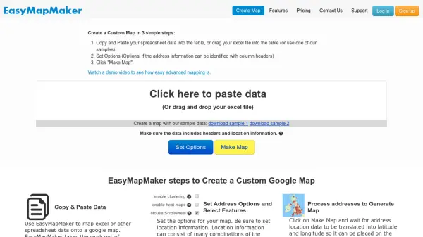 EasyMapMaker Create Custom Google Maps from Spreadsheet Data in Minutes
EasyMapMaker transforms spreadsheet data into interactive Google Maps with automatic geocoding, clustering, and heat maps for data visualization and analysis.
- Freemium
- From 29$
-
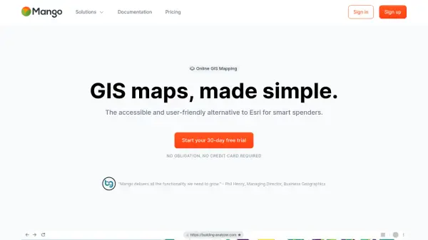 MangoMap Powerful, Affordable Online GIS Mapping for Professionals
MangoMap is an easy-to-use, cost-effective online GIS mapping platform designed for professionals who need robust mapping capabilities without the complexity or high licensing fees of traditional solutions.
- Paid
- From 79$
-
 Architecture Helper Explore and Imagine Architecture Through AI Analysis and Generation
Architecture Helper is an AI-powered platform that analyzes real-world buildings and generates new architectural designs. For $5/month, users can analyze buildings, generate custom designs, and explore different architectural styles.
- Paid
- From 5$
-
 Datum Workstation Advanced Geospatial Analysis and Image Processing Software
Datum Workstation delivers professional GIS, image processing, and terrain analysis solutions, integrating advanced tools for managing, visualizing, and publishing geospatial data on Windows and MacOS platforms.
- Contact for Pricing
-
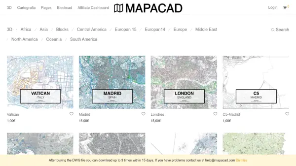 Mapacad Premium DWG Maps of Cities Worldwide
Mapacad offers a vast collection of high-quality DWG files of cities, including 3D models and cartography, for architects, urban planners, and designers.
- Paid
-
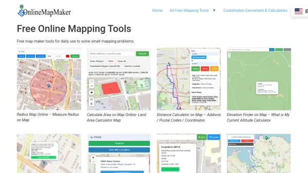 Online Map Maker Free, Easy-to-Use Online Mapping and Geodata Tools
Online Map Maker provides a suite of free web-based mapping tools for calculating areas, distances, elevations, zip codes, and more through an intuitive interface. The platform supports geographic data visualization, conversion, and analysis for students, professionals, and planners.
- Free
-
 TransportAPI UK's Leading Managed Services Provider for Transport Data
TransportAPI is a managed services platform that provides comprehensive UK transport data via APIs, powering over 25% of transport operator apps nationally with real-time information, journey planning, and performance analytics.
- Contact for Pricing
Featured Tools
Join Our Newsletter
Stay updated with the latest AI tools, news, and offers by subscribing to our weekly newsletter.
Didn't find tool you were looking for?