
What is TopoExport?
TopoExport provides a streamlined solution for accessing and exporting high-quality topographic data from global sources. The platform allows users to select relevant layers such as buildings, cadastral parcels, roads, railways, waterways, trees, and contour lines to create tailor-made deliverables. It supports multiple export formats including PDF, OBJ, BIM-ready IFC, SVG, STL, and DXF, ensuring compatibility with popular CAD software like AutoCAD and Revit.
The service offers professional-grade precision with data from reliable sources, featuring high-resolution rendering and optimized contour lines. Users can download landscape and territorial models up to 50 km² with ease, making it accessible to architects, urban planners, landscape designers, engineers, and students. The platform emphasizes simplicity with a two-click export process and includes features like Digital Terrain Models (DTMs) for terrain analysis and Level of Detail 2 (LoD2) representations for accurate 3D rooftops in specific regions.
Features
- Custom Layer Selection: Choose from buildings, cadastral parcels, roads, railways, waterways, trees, and contour lines for tailored exports
- Multiple Export Formats: Export in PDF, OBJ, BIM-ready IFC, SVG, STL, and DXF for 2D and 3D needs
- High-Resolution Rendering: Access superior detail levels with reliable DTMs and optimized contour lines
- Quick Export Process: Create exports in just two clicks for efficient workflow
- Global Data Sources: Use data from the best topographic sources for professional-grade precision
Use Cases
- Site analysis for architecture projects
- Urban planning and development
- Landscape design and modeling
- Creating floor plans and elevations
- BIM workflow integration for construction
FAQs
-
Do you offer custom exports?
Yes, users can select all relevant layers for their project to create tailor-made deliverables. -
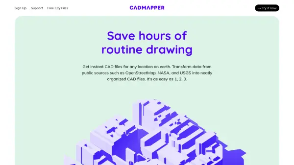
What’s the difference with Cadmapper?
TopoExport focuses on providing high-precision topographic data from global sources with support for multiple export formats and integration into BIM workflows. -
Can the exports be integrated into a BIM workflow?
Yes, exports are compatible with BIM-ready formats like IFC for seamless integration into BIM workflows. -
Can TopoExport replace a land surveyor?
No, it provides topographic data for planning and design but does not replace professional land surveying services. -
Can I use the exports for commercial purposes?
Yes, the exports can be used for commercial projects, as indicated by its use in professional contexts.