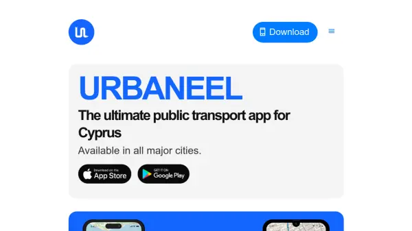


What is Urbaneel?
Urbaneel streamlines public transportation across Cyprus by providing live bus tracking, real-time arrival estimates, and an interactive map for finding nearby stops with ease. The platform’s location detection feature makes it simple for users to locate the closest bus stops in every major city, ensuring efficient trip planning and convenience.
Ideal for both residents and tourists, Urbaneel enables seamless bus travel throughout Cyprus, minimizing the stress of navigating unfamiliar areas. Continuous updates, driven by user feedback, ensure the app evolves to meet the growing needs of public transport users on the island.
Features
- Real-Time Bus Tracking: Monitor bus locations live on an interactive map.
- Accurate Arrival Times: View up-to-date bus arrival information for each stop.
- Location Detection: Find nearby bus stops automatically across all Cyprus cities.
- Tourist and Local Friendly: Suitable for residents and visitors to navigate public transport.
- Continuous Updates: App improvements driven by user feedback.
Use Cases
- Locating nearby bus stops in Cyprus.
- Tracking buses in real time while traveling.
- Planning city trips for tourists using public transport.
- Receiving accurate bus arrival information to reduce waiting times.
- Helping locals streamline daily commutes.