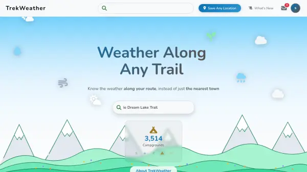
What is TrekWeather?
TrekWeather delivers precise weather forecasts tailored for outdoor enthusiasts by focusing on specific routes rather than general locations. The platform offers hyper-local weather data for any point along a trail, including elevation-specific temperature, wind, and precipitation information. This allows users to understand how conditions change during climbs or descents, providing critical insights for trip planning.
The service utilizes AI technology to interpret complex meteorological data from NOAA, translating detailed forecast discussions into plain-English summaries. Users can access multiple weather models, compare forecasts, and view uncertainty visualizations to assess confidence levels in predictions. Additional features include snow totals forecasts for ski areas and the ability to save custom locations for personalized weather monitoring across devices.
Features
- Point Forecasts Along the Trail: Get hyper-local weather data for any point along your route with elevation, temperature, wind, and precipitation details
- AI Forecast Summaries: AI reads NOAA's detailed area forecast discussions and translates them into plain-English summaries
- Uncertainty Forecasts: Understand forecast uncertainty with multiple model runs showing probability bands for temperature and precipitation
- Snow Totals Forecast: Day-by-day breakdown of cumulative snowfall predictions for ski areas and mountain peaks
- Weather Model Switching: Compare forecasts from different weather models like U.S. GFS/HRRR and Canadian GEM
- Saved Locations: Save custom locations on the Explore Map and access detailed weather forecasts for them on any device
Use Cases
- Planning hiking trips with accurate trail-specific weather forecasts
- Timing ski trips to catch optimal powder conditions using snow totals predictions
- Assessing weather uncertainty for backcountry travel safety
- Monitoring weather at remote campsites or fishing spots
- Comparing different weather models for cross-border outdoor activities
- Understanding elevation-based weather changes during mountain climbs
FAQs
-
What weather models does TrekWeather use?
TrekWeather uses U.S. models (GFS for long-range and HRRR for short-term detail) and Canadian GEM models for cross-border accuracy. -
Can I save custom locations for weather monitoring?
Yes, you can drop a pin anywhere on the Explore Map to save custom locations and access detailed weather forecasts for them on any device. -
How does the AI forecast summary work?
The AI reads NOAA's detailed area forecast discussions and translates them into plain-English summaries that are easy to understand without meteorological expertise.