
atlas.co - Alternatives & Competitors
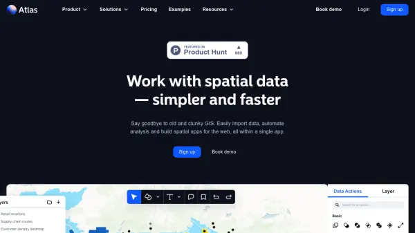
Work with spatial data — simpler and faster
Atlas is a browser-based GIS platform designed to simplify the visualization, analysis, and building of spatial data workflows and web applications.
Ranked by Relevance
-
1
 inAtlas Faster and easier business decisions
inAtlas is a Big Data and Location Intelligence company that transforms geospatial data into valuable information for business growth, specializing in new client acquisition and expansion solutions worldwide.
- Contact for Pricing
-
2
 Atlas AI The AI Platform for Geospatial Insights
Atlas AI is a geospatial AI platform providing hyperlocal socio-demographic indicators and forecasting tools, empowering data scientists with location intelligence.
- Contact for Pricing
-
3
 Maply Transform location data into powerful insights with intuitive mapping
Maply is an intuitive online mapping application that helps businesses and professionals visualize and analyze geospatial data through heat maps, network maps, route optimization, and other advanced mapping features.
- Freemium
- From 15$
-
4
 Mapline Geo-Powered Analytics and Mapping for Business Success
Mapline is a geo-intelligent analytics platform that empowers businesses to visualize, optimize, and manage location-based data through powerful mapping, routing, BI, and scheduling solutions.
- Free Trial
-
5
 Atlist Effortless custom Google Maps creator for web and business.
Atlist is a user-friendly platform for designing, sharing, and embedding custom Google Maps with advanced features for businesses, websites, and data visualization. Build interactive maps without coding or Google Maps API keys required.
- Freemium
- From 14$
-
6
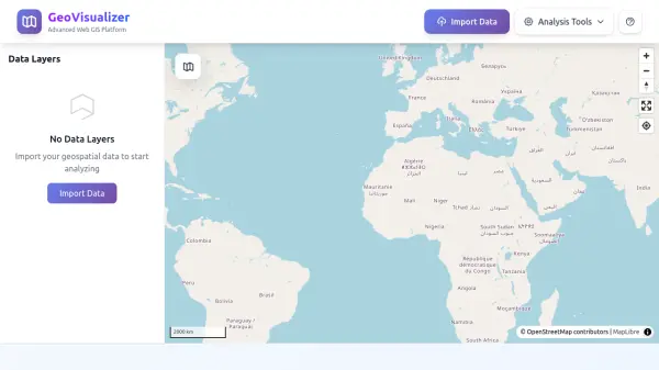 GeoVisualizer Advanced Web GIS Platform for Spatial Data Analysis
GeoVisualizer is an advanced web GIS platform that allows users to import, analyze, and export geospatial data with a variety of spatial analysis tools including buffer analysis, dissolve, centroids, grid generation, and more.
- Free
-
7
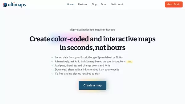 Ultimaps Map visualization tool made for humans
Ultimaps is an intuitive map visualization platform that allows users to create color-coded and interactive maps instantly by importing data from Excel, Google Spreadsheet, or Notion, with AI-assisted map creation capabilities.
- Freemium
- From 17$
-
8
 Carta Maps Build Custom Interactive Maps with Ease
Carta Maps is an AI-powered platform for creating custom interactive maps with intuitive styling tools, real-time collaboration, and advanced features like geocoding, boundary finding, and drawing tools.
- Freemium
- From 9$
-
9
 Snappy Mapper Democratising Geospatial Data
Snappy Mapper simplifies spatial data collection for non-technical users, enabling field teams to create GIS-ready data without specialist tools or training.
- Freemium
- From 190$
-
10
 NextGIS All-in-one GIS platform for maps and geodata
NextGIS provides comprehensive GIS solutions with web, mobile, desktop, and server tools for creating, managing, and sharing spatial data and interactive maps.
- Contact for Pricing
-
11
 MangoMap Powerful, Affordable Online GIS Mapping for Professionals
MangoMap is an easy-to-use, cost-effective online GIS mapping platform designed for professionals who need robust mapping capabilities without the complexity or high licensing fees of traditional solutions.
- Paid
- From 79$
-
12
 PolicyMap Comprehensive Mapping & Data Analytics For Smarter Decision-Making
PolicyMap is a cloud-based platform offering extensive data mapping, visualization, and analytics tools, empowering users to make impactful, data-driven decisions across sectors such as government, non-profit, finance, academic, and healthcare.
- Contact for Pricing
-
13
 mapify.ai No-code platform to process real-time geospatial data and generate real-time insights
Mapify is a no-code platform that enables users to process real-time geospatial data, define business rules, and create interactive maps and applications for IoT and location-based solutions without coding.
- Free Trial
-
14
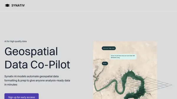 Synativ Geospatial Data Co-Pilot
Synativ utilizes AI to automate geospatial data formatting and preparation, delivering analysis-ready data in minutes. It significantly reduces manual labor and human error in geospatial data processing.
- Contact for Pricing
-
15
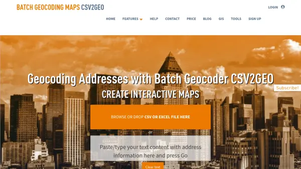 CSV2GEO Batch Geocoding, Reverse Geocoding, and Interactive Map Creation
CSV2GEO is an online tool for converting addresses to geographic coordinates (latitude/longitude) and vice-versa in bulk. It also enables users to create and publish interactive maps from their data.
- Freemium
-
16
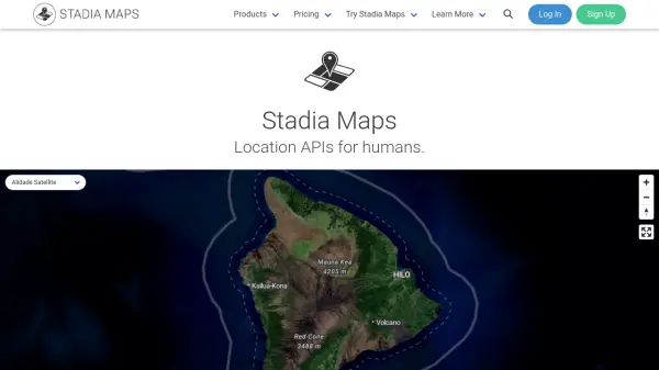 Stadia Maps Reliable Location APIs for Modern Applications
Stadia Maps delivers robust and privacy-focused location APIs, offering customizable maps, geocoding, routing, and satellite imagery for businesses and developers seeking scalable, cost-effective mapping solutions.
- Freemium
- From 20$
Didn't find tool you were looking for?