Browser-based GIS analysis - AI tools
-
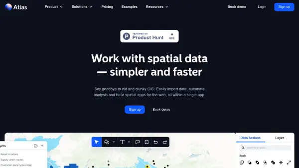 atlas.co Work with spatial data — simpler and faster
Atlas is a browser-based GIS platform designed to simplify the visualization, analysis, and building of spatial data workflows and web applications.
- Freemium
- From 23$
-
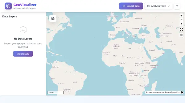 GeoVisualizer Advanced Web GIS Platform for Spatial Data Analysis
GeoVisualizer is an advanced web GIS platform that allows users to import, analyze, and export geospatial data with a variety of spatial analysis tools including buffer analysis, dissolve, centroids, grid generation, and more.
- Free
-
 Leaflet Open-source JavaScript library for mobile-friendly interactive maps
Leaflet is a lightweight open-source JavaScript library for creating mobile-friendly interactive maps with all essential mapping features, designed for simplicity, performance, and usability across desktop and mobile platforms.
- Free
-
 Maply Transform location data into powerful insights with intuitive mapping
Maply is an intuitive online mapping application that helps businesses and professionals visualize and analyze geospatial data through heat maps, network maps, route optimization, and other advanced mapping features.
- Freemium
- From 15$
-
 Datum Workstation Advanced Geospatial Analysis and Image Processing Software
Datum Workstation delivers professional GIS, image processing, and terrain analysis solutions, integrating advanced tools for managing, visualizing, and publishing geospatial data on Windows and MacOS platforms.
- Contact for Pricing
-
 MangoMap Powerful, Affordable Online GIS Mapping for Professionals
MangoMap is an easy-to-use, cost-effective online GIS mapping platform designed for professionals who need robust mapping capabilities without the complexity or high licensing fees of traditional solutions.
- Paid
- From 79$
-
 TdhGIS Free Vector-Based Spatial Analysis Software for Windows and Linux
TdhGIS is a free vector-based spatial analysis software for non-commercial use on Windows and Linux, offering tools for creating, editing, and analyzing geographic data with features like importing Shapefiles and OpenStreetMap data, allocating point and polygon data, and creating thiessen polygons and contours.
- Free
-
 Paintmaps.com Create Free, Online Map Charts with Your Own Statistical Data, Easily
Paintmaps.com is a free online tool for creating interactive map charts with statistical data visualization, supporting world maps, continent maps, country maps, and more.
- Free
-
 Location History Visualizer Pro In-depth analysis of your Google Location History for Mac, Windows, & Linux
Location History Visualizer Pro is an AI-powered tool that processes raw Google Location History data from smartphones and converts it into an interactive map with advanced search, filtering, and analysis capabilities for personal and enterprise use.
- Pay Once
-
 PolicyMap Comprehensive Mapping & Data Analytics For Smarter Decision-Making
PolicyMap is a cloud-based platform offering extensive data mapping, visualization, and analytics tools, empowering users to make impactful, data-driven decisions across sectors such as government, non-profit, finance, academic, and healthcare.
- Contact for Pricing
Featured Tools
Join Our Newsletter
Stay updated with the latest AI tools, news, and offers by subscribing to our weekly newsletter.
Explore More
-
AI content detection 54 tools
-
enterprise genAI data management 9 tools
-
personal AI assistant app 23 tools
-
Legal workflow automation solution 60 tools
-
AI lesson planning assistant 17 tools
-
KYC verification software solutions 17 tools
-
Personalized LinkedIn outreach 53 tools
-
Image creation with AI 60 tools
-
Talent acquisition for tech roles 15 tools
Didn't find tool you were looking for?