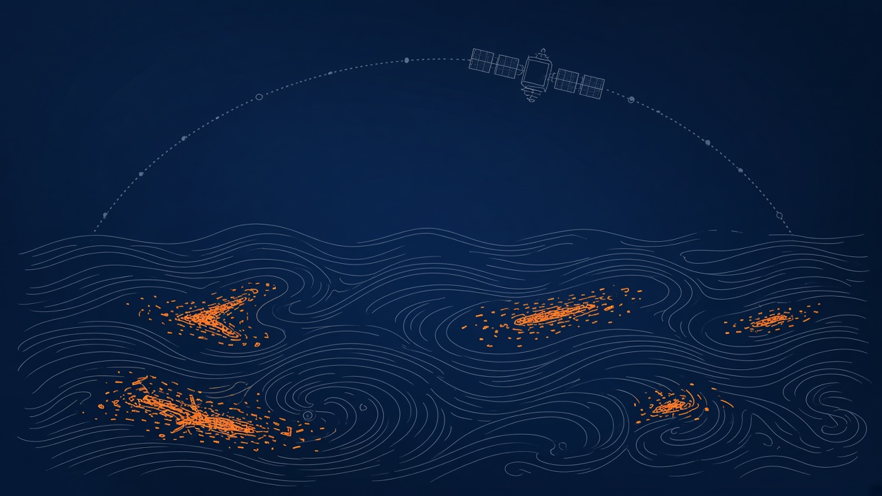
Plastic pollution concentrates in ocean gyres, river mouths, and coastal convergence zones, yet the majority of floating mass is invisible to the naked eye from orbit without the right sensors and algorithms. Remote sensing research combines hyperspectral reference libraries, deep learning classifiers, and drift models to map debris patches and guide cleanup planning. The MArine Debris hyperspectral reference Library (MADLib), published in Earth System Science Data in 2025 (ESSD, 17, 7293), harmonizes 24,889 reflectance spectra from 3,032 samples for algorithm development. Lightweight CNN models such as LSS-HCNN report mean classification accuracy near 97.6 percent on floating plastic patches while cutting parameters substantially versus standard 2D CNNs. Operational frameworks like DEEP-PLAST fuse Sentinel-2 segmentation with Lagrangian drift simulation in the Black Sea. For teams evaluating AI research for environmental monitoring or browsing popular AI tools, honest limits on microplastic detection and algae false positives matter as much as headline accuracy scores.
Scale of Ocean Plastic Monitoring Problem
Global plastic emissions reach millions of tons annually, but observation gaps, object variability, and sub-pixel fragment sizes make comprehensive satellite census impossible with current public sensors. Floating aggregated debris is detectable under favorable sun glint and wind conditions; microplastics and submerged particles require in situ nets or lab methods. Cleanup nonprofits such as The Ocean Cleanup combine model forecasts, aerial surveys, and vessel trawls rather than relying on satellites alone. Policy frameworks including the EU Marine Strategy Framework Directive and UN Sustainable Development Goal 14 drive demand for repeatable monitoring indicators, pushing investment in standardized spectral libraries and open training data.
Without harmonized reference spectra, algorithms overfit to single campaigns and fail across polymer types, biofouling states, and water colors. MADLib addresses curation inconsistency by standardizing metadata on apparent color, polymer class, weathering, size, and aqueous state (dry, floating, submerged). Open access via 4TU.ResearchData supports reproducible model training independent of any one vendor sensor.
Sensor Types: Satellite, Drone, Vessel
Detection stacks layer satellite wide-area screening, drone validation at meter scale, and vessel trawl confirmation before recovery operations. Sentinel-2 multispectral imagery at ten to twenty meters supports semantic segmentation in projects like DEEP-PLAST, where U-Net++ achieved F1 score 0.84 with false positive rate near 5.2 percent in Black Sea trials. Hyperspectral line scanners on drones or aircraft capture hundreds of bands across visible through shortwave infrared, enabling polymer discrimination when sun glint and wave state cooperate. Vessel-mounted cameras and nets ground-truth predictions but cannot cover basin scales alone.
| Platform | Strength | Limitation |
|---|---|---|
| Satellite multispectral | Basin-scale repeat views | Sub-pixel fragments, glint sensitivity |
| Hyperspectral UAV | Polymer spectral detail | Small footprint, weather dependent |
| Vessel survey | Direct confirmation and mass estimates | Slow, spatially sparse |
Spectral Signatures of Floating Plastics
Plastic reflectance differs from seawater and many natural flotsam most reliably in shortwave infrared bands, while visible color varies with pigment, biofilm, and weathering. MADLib analysis shows apparent color and biofouling alter visible spectrum shape, often introducing red-edge features from algae coatings, whereas SWIR regions retain more polymer-dependent structure for non-submerged debris. Wet and submerged states reduce SWIR magnitude; submerged targets may need separate algorithms using near-infrared features near 810 and 1070 nanometers documented in library comparisons. LSS-HCNN experiments highlight NIR-SWIR bands as most informative for floating plastics, aligning with prior work recommending SWIR-capable sensors at thirty meters or finer for operational detection.
The HyperPlastic database on Zenodo provides paired VIS-NIR and NIR-SWIR patches for PET, HDPE, LDPE, PS, and PP in simulated aquatic setups, supporting lightweight model development. Spectral libraries do not eliminate confusion with sargassum, foam, or glint whitecaps; context features from wind, currents, and neighboring pixels enter deep models through spatial convolutions in LSS-HCNN and segmentation networks in DEEP-PLAST.
False Positives and Human Verification
Algae blooms, sediment plumes, and sun glint produce false detections that require human analysts or secondary drone passes before declaring plastic targets. DEEP-PLAST reports a 5.2 percent false positive rate at optimal segmentation settings, still enough to waste vessel days if uncorrected. Biofouled plastics resemble organic matter in visible bands; SWIR helps but does not achieve certainty at Sentinel-2 band sets alone. Analysts overlay detections on wind and current fields to judge plausibility of accumulation, discarding features upstream of unlikely sources during calm seas.
Drift model validation remains qualitative in some regional studies due to sparse ground truth. Future work plans NGO and in situ partnerships to score predicted trajectories. Until then, cleanup routing should treat AI maps as prioritization hypotheses, not exhaustive inventories. Microplastics cannot be resolved individually from current operational satellites; claims otherwise misrepresent sensor physics.
Routing Cleanup Vessels With AI Maps
Detection outputs link to Lagrangian particle models driven by Copernicus and NOAA current and wind fields to forecast where debris will concentrate days ahead, optimizing vessel paths. DEEP-PLAST integrates YOLOv5 on UAV imagery for training labels, U-Net++ on Sentinel-2 for wide-area maps, and drift simulation to highlight Black Sea accumulation zones relevant to EU marine policy. Similar logic supports river interception projects targeting plastics before ocean export, though river turbidity raises separate spectral challenges.
The Ocean Cleanup and peer organizations combine model forecasts with observational campaigns; AI reduces search area but does not remove the need for mechanical collection and shore disposal logistics. Routing algorithms should incorporate false positive risk, fuel cost, and legal access to exclusive economic zones. Open dashboards for NGOs and policymakers, planned in DEEP-PLAST follow-on work, would translate AI research outputs into actionable briefings when validation matures.
Future satellite missions with dedicated SWIR bands at moderate resolution could narrow the gap between research hyperspectral campaigns and daily global coverage. Until then, fusion of Sentinel-2 with drone validation remains the pragmatic stack for NGO-led cleanup weeks. Interception at rivers, where plastics concentrate before ocean export, may deliver higher mass per dollar than open-ocean trawls guided by imperfect satellite maps alone.
Frequently Asked Questions
Can satellites see microplastics?
No operational satellite resolves individual microplastic particles. Satellites detect aggregated floating debris and certain spectral anomalies under favorable conditions. Microplastic concentrations require nets, lab analysis, or future specialized sensors not yet deployed at global scale.
Why do algae cause false positives?
Biofouled plastics and floating vegetation share visible-spectrum features such as red-edge reflectance. SWIR bands reduce but do not eliminate confusion. Human verification or drone hyperspectral follow-up remains standard practice.
What is MADLib?
MADLib is the 2025 MArine Debris hyperspectral reference Library collection in ESSD volume 17, containing 24,889 standardized reflectance spectra from 3,032 marine debris samples for training and validating detection algorithms.
How accurate is LSS-HCNN?
The 2025 Marine Pollution Bulletin study reports mean classification accuracy near 97.64 percent on floating plastic patch datasets with substantially fewer parameters than conventional 2D CNNs. Accuracy applies to controlled hyperspectral campaigns, not automatic global satellite census.
Do river plastics use the same models?
River monitoring faces turbidity, bank shadows, and smaller objects. Algorithms require separate training data and often higher resolution imagery. Ocean-tuned models do not transfer directly without revalidation.
How does AI support policy?
Repeatable debris maps support Marine Strategy Framework Directive indicators and SDG 14 tracking when methods are documented. Policy use demands open data, uncertainty reporting, and independent audit, not marketing accuracy alone.
Citizen science beach surveys and fishing vessel logs remain valuable even as satellites scale up. Hybrid databases that link spectral detections to beach plastic composition studies help trainers build classifiers that generalize beyond single expeditions. Open libraries like MADLib reduce duplicated field spectrometer campaigns by letting teams share curated measurements under common metadata schemas.
The Ocean Cleanup and similar NGOs combine model forecasts with observational campaigns at gyre boundaries. AI reduces search areas but mechanical collection and shore disposal logistics remain the cost bottleneck. DEEP-PLAST reported U-Net++ F1 score 0.84 with 5.2 percent false positive rate in Black Sea trials; operators should budget analyst time to review alerts before vessels sail. LSS-HCNN's 97.64 percent mean accuracy applies to controlled hyperspectral patches, not basin-wide daily Sentinel-2 scans without validation.
Garaba and Harmel (2022) and related SWIR studies cited in MADLib recommend prioritizing future public satellites with band placement tuned to polymer detection at thirty meters or finer. Until those launch, drone hyperspectral campaigns after satellite cueing remain the credible validation path. Policy teams should treat detection maps as prioritization tools for cleanup funding, not as legal evidence of national compliance without ground confirmation.
YOLOv5 object detection on UAV imagery in DEEP-PLAST supplies training labels for Sentinel-2 segmentation, linking meter-scale confirmation to basin-scale maps. Lagrangian drift models using Copernicus and NOAA currents translate detections into accumulation forecasts for the Black Sea, supporting EU Mission Ocean objectives. Microplastic monitoring still requires nets and laboratory analysis; satellite AI addresses floating aggregations visible under favorable sun glint and wind conditions, not the full marine plastic mass balance.
Biofouling alters visible spectra of floating plastics while SWIR bands often remain more stable, a finding repeated across MADLib metadata analysis and de Vries et al. biofilm studies cited in the library paper. Detection algorithms therefore benefit from training on weathered, wet, and biofilm-covered samples rather than laboratory virgin pellets alone. River mouth plumes with high turbidity need separate validation campaigns because ocean-tuned thresholds on clear offshore water do not transfer without retraining.
The HyperPlastic Zenodo dataset provides 1,220 labeled patches across VIS-NIR, NIR-SWIR, and fused spectral ranges for five major polymer classes, supporting reproducible benchmarks when comparing LSS-HCNN against standard 2D CNN baselines. Operational teams should publish false positive reviews alongside detection maps so funders see how often algae or glint triggered unnecessary vessel deployments during pilot seasons.
ESSD volume 17 (2025) MADLib release harmonizes 24,889 spectra from 3,032 samples under open metadata protocols, giving algorithm developers a shared foundation that earlier ad hoc campaigns lacked.