 ReddRadar

Wherobots Uptime Monitor
The Spatial Intelligence Cloud for Planetary-Scale Analytics
Last 30 Days Performance
Average Uptime
0%
Based on 30-day monitoring period
Average Response Time
0ms
Mean response time across all checks
Daily Status Overview
Hover for detailsHistorical Performance
Jan-2026
100% uptime
Monthly Uptime
100%
Monthly Response Time
81ms
Daily Status Breakdown
Dec-2025
100% uptime
Monthly Uptime
100%
Monthly Response Time
113ms
Daily Status Breakdown
Nov-2025
99.72% uptime
Monthly Uptime
99.72%
Monthly Response Time
118ms
Daily Status Breakdown
Oct-2025
99.87% uptime
Monthly Uptime
99.87%
Monthly Response Time
110ms
Daily Status Breakdown
Sep-2025
100% uptime
Monthly Uptime
100%
Monthly Response Time
104ms
Daily Status Breakdown
Aug-2025
99.85% uptime
Monthly Uptime
99.85%
Monthly Response Time
107ms
Daily Status Breakdown
Jul-2025
99.86% uptime
Monthly Uptime
99.86%
Monthly Response Time
93ms
Daily Status Breakdown
Jun-2025
100% uptime
Monthly Uptime
100%
Monthly Response Time
120ms
Daily Status Breakdown
Related Uptime Monitors
Explore uptime status for similar tools that also have monitoring enabled.
-
 Operational
FlyPix AI
Geospatial AI Platform for Analyzing Earth's Surface
FlyPix AI is a geospatial analysis platform that uses AI to detect and analyze objects in images. Train custom AI models and analyze geospatial data tied to coordinates.
Last checked: 1 month ago View Status -
 Operational
GeoAI
Harnessing AI and Spatial Data for Innovation
GeoAI combines Artificial Intelligence with geospatial engineering to analyze location-based data, satellite imagery, and advanced analytics for smarter decision-making in various industries.
Last checked: 1 month ago View Status -
 Issues
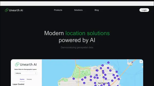
Unearth AI
Modern location solutions powered by AI
Unearth AI offers AI-powered geospatial data analysis tools. Products include Unearth Lite, a ChatGPT-powered location explorer, and Unearth Insights for enterprise geospatial analytics.
Last checked: 1 month ago View Status -
 Operational
Geospatial Cloud Serv
Advanced geospatial data serving and microservices for comprehensive GIS solutions
Geospatial Cloud Serv provides a powerful self-hosted solution for advanced geospatial data serving, microservices, and APIs, compatible with various GIS platforms and mobile applications.
Last checked: 1 month ago View Status -
 Operational
GeoSpy
Unlock the Power of AI Image intelligence
GeoSpy is an AI-powered platform that converts image data into precise GPS location predictions. It offers advanced location intelligence solutions for various organizations globally.
Last checked: 1 month ago View Status -
 Issues
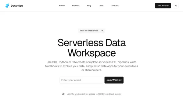
Datamizu
Serverless Data Workspace
Datamizu is a serverless data platform that simplifies ETL pipelines, data analysis, and data app creation. It offers a collaborative environment with flexible pricing and support for SQL, Python, and R.
Last checked: 1 month ago View Status