GeoAI Uptime Monitor
Harnessing AI and Spatial Data for Innovation
Last 30 Days Performance
Average Uptime
0%
Based on 30-day monitoring period
Average Response Time
0ms
Mean response time across all checks
Daily Status Overview
Hover for detailsHistorical Performance
Jan-2026
100% uptime
Monthly Uptime
100%
Monthly Response Time
1161ms
Daily Status Breakdown
Dec-2025
91.09% uptime
Monthly Uptime
91.09%
Monthly Response Time
1029ms
Daily Status Breakdown
Nov-2025
99.87% uptime
Monthly Uptime
99.87%
Monthly Response Time
1087ms
Daily Status Breakdown
Oct-2025
99.6% uptime
Monthly Uptime
99.6%
Monthly Response Time
1094ms
Daily Status Breakdown
Sep-2025
99.7% uptime
Monthly Uptime
99.7%
Monthly Response Time
1024ms
Daily Status Breakdown
Aug-2025
100% uptime
Monthly Uptime
100%
Monthly Response Time
1054ms
Daily Status Breakdown
Jul-2025
99.22% uptime
Monthly Uptime
99.22%
Monthly Response Time
1014ms
Daily Status Breakdown
Related Uptime Monitors
Explore uptime status for similar tools that also have monitoring enabled.
-
 Issues
Garudalytics
Solving real-world challenges using GeoAI.
Garudalytics provides Geospatial AI (GeoAI) solutions, extracting insights from location data to address challenges across various sectors.
Last checked: 2 months ago View Status -
 Operational
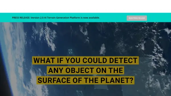
FlyPix AI
Geospatial AI Platform for Analyzing Earth's Surface
FlyPix AI is a geospatial analysis platform that uses AI to detect and analyze objects in images. Train custom AI models and analyze geospatial data tied to coordinates.
Last checked: 2 months ago View Status -
 Operational
Atlas AI
The AI Platform for Geospatial Insights
Atlas AI is a geospatial AI platform providing hyperlocal socio-demographic indicators and forecasting tools, empowering data scientists with location intelligence.
Last checked: 2 months ago View Status -
 Issues
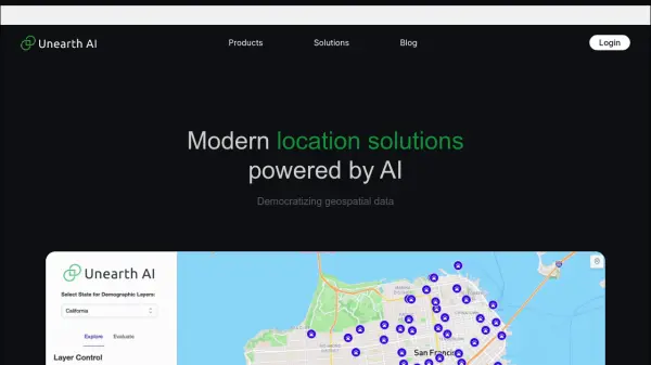
Unearth AI
Modern location solutions powered by AI
Unearth AI offers AI-powered geospatial data analysis tools. Products include Unearth Lite, a ChatGPT-powered location explorer, and Unearth Insights for enterprise geospatial analytics.
Last checked: 2 months ago View Status -
 Operational
Blackshark.ai
Real-time Semantic 3D Digital Twin of the Planet
Blackshark.ai generates a real-time, accurate, semantic, and photorealistic 3D digital twin of the entire planet using machine learning and satellite imagery. This technology supports various applications, including simulation, visualization, and geospatial analytics.
Last checked: 2 months ago View Status -
 Pending
AeroMegh
Transform Drone Data into Intelligence with Advanced GeoAI Platform
AeroMegh is a comprehensive GeoAI platform for drone professionals, offering photogrammetry, AI-powered object detection, and geospatial analytics in one integrated solution.
Monitoring starting soon View Status