
Unearth AI Uptime Monitor
Modern location solutions powered by AI
Last 30 Days Performance
Average Uptime
0%
Based on 30-day monitoring period
Average Response Time
0ms
Mean response time across all checks
Daily Status Overview
Hover for detailsHistorical Performance
Apr-2026
100% uptime
Monthly Uptime
100%
Monthly Response Time
183ms
Daily Status Breakdown
Mar-2026
100% uptime
Monthly Uptime
100%
Monthly Response Time
184ms
Daily Status Breakdown
Jan-2026
100% uptime
Monthly Uptime
100%
Monthly Response Time
194ms
Daily Status Breakdown
Dec-2025
99.71% uptime
Monthly Uptime
99.71%
Monthly Response Time
197ms
Daily Status Breakdown
Nov-2025
99.86% uptime
Monthly Uptime
99.86%
Monthly Response Time
196ms
Daily Status Breakdown
Oct-2025
99.87% uptime
Monthly Uptime
99.87%
Monthly Response Time
204ms
Daily Status Breakdown
Sep-2025
100% uptime
Monthly Uptime
100%
Monthly Response Time
199ms
Daily Status Breakdown
Aug-2025
99.53% uptime
Monthly Uptime
99.53%
Monthly Response Time
201ms
Daily Status Breakdown
Related Uptime Monitors
Explore uptime status for similar tools that also have monitoring enabled.
-
 Operational
GeoAI
Harnessing AI and Spatial Data for Innovation
GeoAI combines Artificial Intelligence with geospatial engineering to analyze location-based data, satellite imagery, and advanced analytics for smarter decision-making in various industries.
Last checked: 3 months ago View Status -
 Issues
Garudalytics
Solving real-world challenges using GeoAI.
Garudalytics provides Geospatial AI (GeoAI) solutions, extracting insights from location data to address challenges across various sectors.
Last checked: 3 months ago View Status -
 Operational
FlyPix AI
Geospatial AI Platform for Analyzing Earth's Surface
FlyPix AI is a geospatial analysis platform that uses AI to detect and analyze objects in images. Train custom AI models and analyze geospatial data tied to coordinates.
Last checked: 3 months ago View Status -
 Operational
Atlas AI
The AI Platform for Geospatial Insights
Atlas AI is a geospatial AI platform providing hyperlocal socio-demographic indicators and forecasting tools, empowering data scientists with location intelligence.
Last checked: 3 months ago View Status -
 Operational
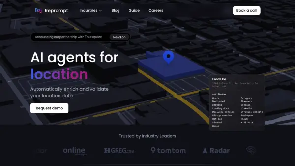
repromptai.com
AI Agents for Location Data
Reprompt provides AI agents to automatically enrich and validate location data. It offers real-time data updates, custom attribute generation, and automated review of place and GIS data.
Last checked: 3 months ago View Status -
 Operational
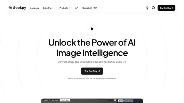
GeoSpy
Unlock the Power of AI Image intelligence
GeoSpy is an AI-powered platform that converts image data into precise GPS location predictions. It offers advanced location intelligence solutions for various organizations globally.
Last checked: 3 months ago View Status