
AeroMegh Uptime Monitor
Transform Drone Data into Intelligence with Advanced GeoAI Platform
Last 30 Days Performance
Average Uptime
0%
Based on 30-day monitoring period
Average Response Time
0ms
Mean response time across all checks
Daily Status Overview
Hover for detailsRelated Uptime Monitors
Explore uptime status for similar tools that also have monitoring enabled.
-
 Pending
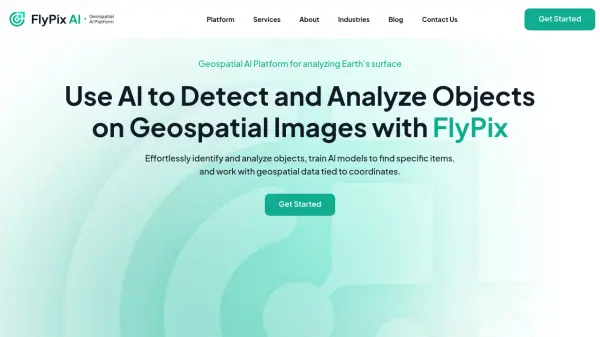
FlyPix AI
Geospatial AI Platform for Analyzing Earth's Surface
FlyPix AI is a geospatial analysis platform that uses AI to detect and analyze objects in images. Train custom AI models and analyze geospatial data tied to coordinates.
Monitoring starting soon View Status -
 Pending
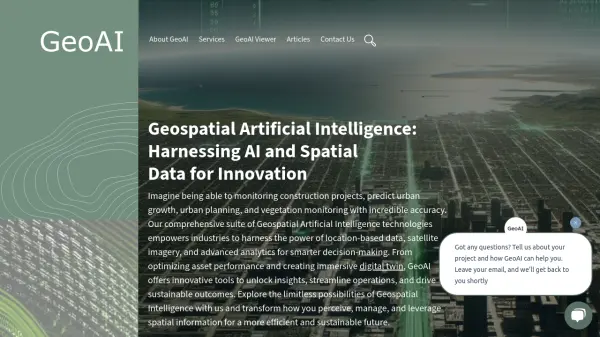
GeoAI
Harnessing AI and Spatial Data for Innovation
GeoAI combines Artificial Intelligence with geospatial engineering to analyze location-based data, satellite imagery, and advanced analytics for smarter decision-making in various industries.
Monitoring starting soon View Status -
 Pending
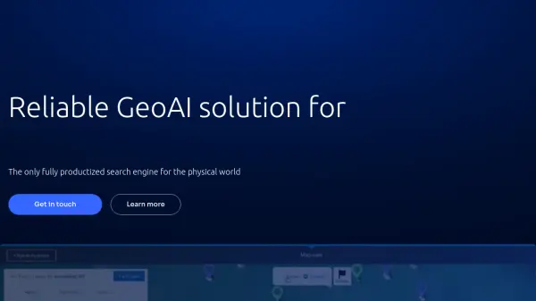
Picterra
Reliable GeoAI solution for sustainability, compliance, transparency, accountability, monitoring, and verification.
Picterra is a GeoAI platform that enables users to build and deploy custom AI models for geospatial imagery analysis. It supports various data types and offers solutions for multiple industries, facilitating scalable and collaborative geospatial analysis.
Monitoring starting soon View Status -
 Pending
ARU SKYNET
On-Demand Aerial Intelligence for Smarter Decisions
ARU SKYNET is an AI-powered drone data management platform that enables organizations to upload, analyze, and collaborate on aerial intelligence with 20x higher resolution for enhanced decision-making.
Monitoring starting soon View Status -
 Pending
Garudalytics
Solving real-world challenges using GeoAI.
Garudalytics provides Geospatial AI (GeoAI) solutions, extracting insights from location data to address challenges across various sectors.
Monitoring starting soon View Status -
 Pending
Asseti
A unified platform that monitors, optimizes, and automates every stage of asset ownership
Asseti is an AI-powered asset condition monitoring platform that automates property asset management through drone imagery capture, 3D modeling, and intelligent analysis for enterprise asset and facility managers.
Monitoring starting soon View Status