
Geospatial Cloud Serv Uptime Monitor
Advanced geospatial data serving and microservices for comprehensive GIS solutions
Last 30 Days Performance
Average Uptime
0%
Based on 30-day monitoring period
Average Response Time
0ms
Mean response time across all checks
Daily Status Overview
Hover for detailsRelated Uptime Monitors
Explore uptime status for similar tools that also have monitoring enabled.
-
 Pending
GIS Cloud
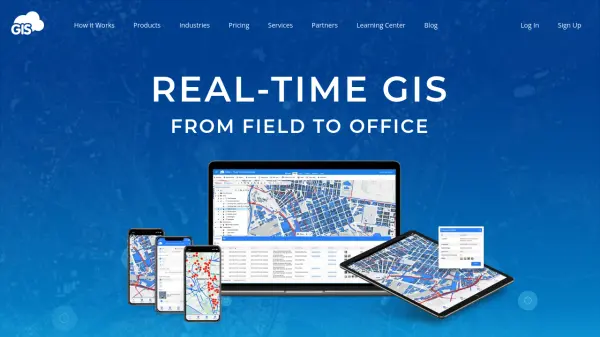
Real-time GIS: From Field to Office
GIS Cloud is a fast and powerful online GIS platform for operations management, enabling field data collection, map editing, and real-time team collaboration across industries.
Monitoring starting soon View Status -
 Operational
NextGIS
All-in-one GIS platform for maps and geodata
NextGIS provides comprehensive GIS solutions with web, mobile, desktop, and server tools for creating, managing, and sharing spatial data and interactive maps.
Last checked: 2 months ago View Status -
 Operational
Tile38
Ultra Fast Geospatial Database & Geofencing Server
Tile38 is an open-source geospatial database and geofencing server that delivers real-time location-based notifications and high-performance spatial indexing for applications.
Last checked: 2 months ago View Status -
 Operational
Mapit GIS
Mobile GIS for asset collection, GPS surveys, and field data management
Mapit GIS is a professional mobile GIS platform for iOS and Android that enables offline-first data collection, GPS surveys, and field data management with support for GeoPackage, multiple export formats, and sub-metre GNSS accuracy.
Last checked: 2 months ago View Status -
 Operational
Mapline
Geo-Powered Analytics and Mapping for Business Success
Mapline is a geo-intelligent analytics platform that empowers businesses to visualize, optimize, and manage location-based data through powerful mapping, routing, BI, and scheduling solutions.
Last checked: 2 months ago View Status -
 Operational
GeoDataSource
Comprehensive World Cities Database for Developers and Businesses
GeoDataSource provides a comprehensive world cities database with 3 million city features across 249 countries, offering accurate location data including names, coordinates, and administrative divisions for integration into various database systems.
Last checked: 2 months ago View Status