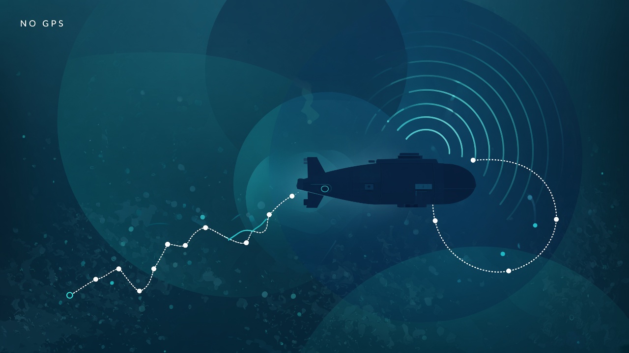
AI underwater robot navigation relies on sensor fusion SLAM because GPS signals attenuate within meters of the surface and radio links cannot support real-time cloud inference at depth. Systems like AQUA-SLAM (DVL-stereo-IMU graph optimization validated in North Sea trials), APVI-SLAM (acoustic-pressure-visual-inertial with photorealistic mapping), RUSSO (imaging sonar constraints when vision degrades), and UnderwaterVLA (dual-brain vision-language-action with hydrodynamics-informed MPC) address murky water, marine snow, and intermittent feature loss. Operators mapping pipelines, archaeological sites, or coral reefs should follow AI research on marine robotics and AI research infrastructure for subsea autonomy with realistic communication and power budgets.
Why GPS Fails Underwater
Electromagnetic waves at GPS frequencies attenuate rapidly in seawater, so subsea vehicles cannot receive satellite fixes unless they surface or use a buoy relay. Freshwater attenuation is lower but still blocks reliable GPS at operational depths for inspection-class robots. Acoustic positioning (USBL, LBL transponders) replaces GPS by measuring time-of-flight between beacons and the vehicle, but requires pre-deployed infrastructure and calibration.
Without global fixes, underwater robots dead-reckon using IMU integration, Doppler Velocity Logs (DVL) bouncing sound off the seafloor, and visual or sonar SLAM to bound drift. Open water with flat sediment offers weak visual features; structured pipelines and wrecks provide stronger landmarks.
RAEM-SLAM and related learning frameworks note that traditional feature-based and direct visual SLAM methods lose tracking in underwater turbidity where contrast collapses and motion blur increases from particulates. Deep learning SLAM attempts end-to-end pose estimation but still struggles without multimodal backups.
Cost tradeoff: acoustic beacon networks enable meter-level global accuracy for offshore oil and gas but are impractical for ad hoc archaeology in remote lakes. Vision-heavy AUVs trade infrastructure cost for algorithmic complexity and risk of track loss.
Shallow freshwater archaeology and reservoir surveys face seasonal turbidity spikes after storms. Operators schedule missions during clarity windows and keep sonar-primary navigation configs ready when Secchi depth readings drop. Logging water quality metadata alongside SLAM trajectories helps retrospective filtering of unusable frame segments.
Sensor Fusion for Low-Visibility SLAM
Robust underwater SLAM fuses cameras, imaging sonar, DVL, IMU, and pressure depth sensors in factor graphs that reweight modalities when visibility collapses. AQUA-SLAM tightly couples DVL, stereo camera, and IMU with online extrinsic and DVL misalignment calibration, outperforming prior underwater and visual-inertial systems in tank ground truth and North Sea validation. Light attenuation and marine snow degrade stereo matching; DVL provides velocity observations when optical flow fails.
APVI-SLAM adds pressure sensing and reliability-aware fusion: estimators receive dynamic weights, and a sliding-window freezing strategy recovers from tracking failures. Photorealistic mapping uses quadtree-guided 3D Gaussian optimization for coral reef surveys, contributing a benchmark dataset with synchronized multimodal logs.
RUSSO injects imaging sonar constraints into optimization when visual degradation occurs, improving yaw estimation for fixed-depth surveying tasks. Sonar returns stable range-bearing features on seafloor texture even when cameras see green haze.
UnderwaterVLA (Scientific Reports, July 2026) decouples high-level mission reasoning from low-level reactive control using vision-language-action models plus hydrodynamics-informed MPC, reporting 19-27% higher task completion than baselines in degraded visual field tests. The dual-brain architecture limits bandwidth-heavy model calls to planning intervals while MPC handles fluid disturbances at control rates.
| Sensor | Provides | Failure mode in murk |
|---|---|---|
| Stereo / mono camera | Texture landmarks, color for ecology | Low contrast, backscatter, blur |
| Imaging sonar | Range-bearing features | Coarse resolution, multipath in caves |
| DVL | Bottom-track velocity | Altitude limits, water current bias |
| IMU + pressure | Short-term attitude, depth | Drift without exteroceptive fixes |
Use Cases: Pipelines, Archaeology, Ecology
Pipeline inspection AUVs follow seabed corridors with sonar and visual slam to detect freespans, anodes, and coating holidays; archaeologists map wrecks in turbid harbors; ecologists survey coral and fish biomass with gentle maneuvering. Offshore energy operators require repeat passes along export routes with centimeter-level repeatability to measure scour and exposure. SLAM drift over kilometer transects demands loop closures when vehicles revisit landmarks or surface for GPS fixes.
Archaeological ROV missions in silty rivers use sonar-first mapping, then close-in video when silt settles. AI classifiers detect amphora piles or structural timbers from mosaic maps built offline after the dive because live bandwidth is insufficient.
Coral reef ecology benefits from APVI-style photorealistic maps linking fish counts to habitat structure. Low-impact navigation avoids contact with fragile colonies; soft thruster commands from MPC reduce sediment kicks that obscure cameras.
Search and rescue in flooded caves combines short-range lidar or sonar with tethered power when battery endurance measured in hours cannot cover multi-day operations.
Tethered ROV vs Autonomous AUV
Tethered ROVs trade mobility radius for continuous power and fiber bandwidth; autonomous AUVs survey wide areas but surface to communicate and recharge. Work-class ROVs feed 4K video and sonar to operators in real time, enabling human teleoperation in unknown wrecks. Tethers snag on structure; umbilical management adds vessel deck complexity. AI assists stabilization, auto-heading, and semi-autonomous track following.
AUVs run preplanned missions with onboard SLAM, logging data for post-mission processing. Lighter vehicles (Bluefin, REMUS class) deploy from small boats; heavy vehicles carry multibeam sonar suites. Autonomy shines when repeating pipeline routes monthly without a chase ship overhead every minute.
Hybrid resident vehicles dock on seabed charging stations for offshore asset monitoring, blending AUV endurance with ROV-like revisit frequency. Navigation stacks must relocalize precisely when leaving and re-entering docks.
Choose ROV when human judgment per second matters and structure is unknown. Choose AUV when coverage area dominates and missions are repeatable. Many operators maintain both fleets.
Hybrid surface-float relay buoys extend acoustic modem range for AUVs working kilometers from the support vessel without full surfacing. Navigation stacks treat the buoy as a temporary GPS anchor when the vehicle passes underneath, tightening drift bounds during long transects.
Surface Communication Constraints
Underwater acoustic modems offer kilobit-per-second throughput over hundreds of meters to kilometers, insufficient for streaming raw video or large model weights, so edge AI must run onboard. Operators receive status packets, pose summaries, and anomaly flags while full maps download after recovery or via brief surface Wi-Fi when AUVs pop up. UnderwaterVLA's dual-brain design explicitly addresses communication and compute constraints by separating mission-level VLA calls from local MPC.
Satellite backhaul from surface vessels adds latency for fleet command but not for subsea closed-loop control. Delay-tolerant networking queues science data until contact; safety behaviors (abort, hover, ascend) must trigger locally on leak, entanglement, or SLAM loss detection.
Regulatory layers include IMO vessel rules, offshore lease permit conditions, and archaeological heritage protections. Law-of-the-sea considerations apply to transnational pipelines; data sovereignty affects where cloud SLAM post-processing may run.
Battery chemistry limits mission length: lithium packs trade energy density against fire risk on ships. Power budgets allocate watts among thrusters, sensors, and GPU inference; always-on sonar processing competes with neural SLAM backends.
Ice-covered polar missions add acoustic layering complications: sound speed profiles shift with salinity and temperature gradients. SLAM stacks tuned for temperate coastal water need recalibration before Arctic pipeline surveys. Under-ice AUVs cannot surface for GPS; acoustic ranges under ice caps differ from open ocean models.
Archaeological and ecological missions increasingly require minimum disturbance paths: planners encode no-go polygons around coral heads or wreck timbers, and MPC layers penalize thruster wash that re-suspends silt. UnderwaterVLA-style mission reasoning helps translate archaeologist goals ("map the stern section") into waypoint graphs respecting those constraints.
Post-mission NeRF and Gaussian splatting reconstruction (APVI-SLAM lineage) produces shareable 3D assets for stakeholders without bandwidth to interpret raw sonar snippets. Navigation accuracy and map beauty are coupled: drift in pose estimates smears photorealistic reconstructions, so reliability-aware fusion benefits science outreach as much as engineering surveys.
Pipeline operators often require repeat-pass alignment within 5-10 cm to measure freespan growth year over year. SLAM loop closures when the AUV transits the same flange cluster twice reduce drift that would otherwise masquerade as structural movement in difference maps.
ROV pilots benefit from AI-assisted station-keeping: learned controllers hold position against current while sonar mosaics build, freeing operators to focus on anomaly interpretation. The same MPC blocks in UnderwaterVLA can run on smaller embedded computers when mission reasoning stays on the surface vessel.
Frequently Asked Questions
What depth limits visual SLAM?
Depth itself is less limiting than turbidity and lighting. Clear tropical waters support tens of meters visually; coastal runoff or algal blooms collapse range to meters regardless of depth rating. Supplement with sonar and DVL before assuming camera-only SLAM.
AUV or ROV for pipeline survey?
Repeatable long corridor surveys favor AUV autonomy with post-mission mosaic review. Ad hoc damage investigation near platforms often uses ROVs for real-time human assessment. Many operators sequence AUV screening then ROV confirmation.
How long do batteries last?
Inspection-class AUVs commonly run 8-24 hours depending on speed, payload, and thruster load. Heavy multibeam mapping may shorten endurance. Resident docking systems extend effective uptime across weeks at the cost of seabed infrastructure.
Can underwater robots use GPS at the surface?
Yes. Many missions surface periodically for GPS fixes to bound SLAM drift. Under ice or in caves, surfacing is impossible and acoustic beacons or sonar loop closures must substitute.
Is cloud AI practical subsea?
Not for closed-loop navigation. Acoustic links are too slow. Edge GPUs or DSPs run SLAM and perception onboard; cloud handles post-mission map fusion and fleet analytics.
Are archaeological sites legally protected?
Many jurisdictions restrict disturbance and require permits for sonar and ROV work on heritage sites. Navigation autonomy must include geofencing and logging for compliance audits.
Where should I follow underwater robotics research?
Track open releases like AQUA-SLAM, APVI-SLAM datasets, and UnderwaterVLA field reports. Broader marine AI topics appear under AI research and AI research search.