
Relief Maps - Alternatives & Competitors
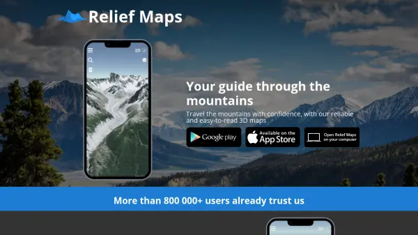
Your guide through the mountains
Relief Maps is a reliable and easy-to-read 3D mapping application for mountain travel, offering route creation, a database of over 1 million routes, and live tracking features.
Ranked by Relevance
-
1
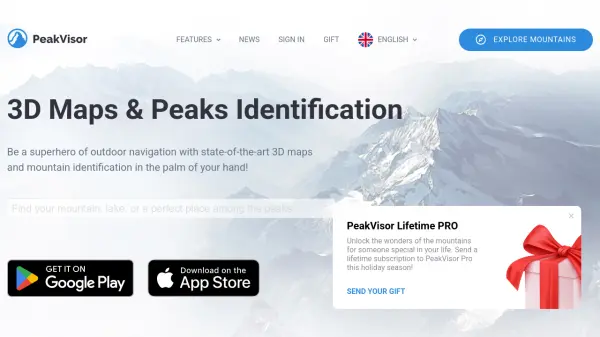 PeakVisor 3D Maps & Real-Time Peak Identification for Mountain Explorers
PeakVisor is an advanced outdoor navigation app offering 3D maps, real-time mountain identification, and offline capabilities, designed for hikers, climbers, and outdoor enthusiasts worldwide.
- Freemium
-
2
 Footpath Plan your next adventure in seconds
Footpath is an AI-powered route planning app that enables users to create custom routes with distance measurement, elevation analysis, and turn-by-turn navigation using offline topographic maps.
- Freemium
- From 5$
-
3
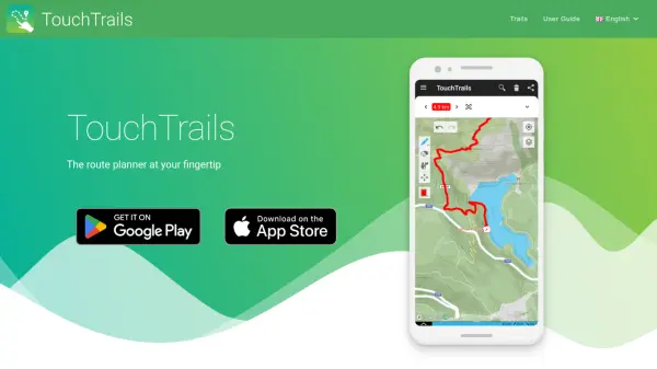 TouchTrails The route planner at your fingertip
TouchTrails is an AI-powered route planning tool that enables users to create, track, and navigate trails for hiking, running, and cycling with intuitive map-based drawing and GPX file support.
- Other
-
4
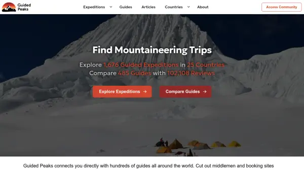 Guided Peaks Connect directly with expert mountaineering guides worldwide
Guided Peaks is an AI-powered platform that connects climbers with hundreds of certified mountaineering guides across 25 countries, offering detailed expedition comparisons, guide reviews, and curated mountain information.
- Other
-
5
 My Elevation Accurate elevation and location data for Android users worldwide
My Elevation is an Android application that provides precise surface elevation data using web-based sources, helping users explore terrain with features like Follow Me mode, search functionality, and customizable map options.
- Free
-
6
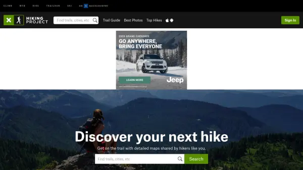 Hiking Project Discover your next hike with detailed maps shared by hikers like you
Hiking Project is a free community-driven platform that helps outdoor enthusiasts discover hiking trails worldwide, featuring detailed maps, trail information, and user-generated content.
- Free
-
7
 Ferrata Guide Your via ferrata companion for finding, climbing, and rating via ferratas worldwide.
Ferrata Guide is a comprehensive platform and mobile app that helps climbers discover, plan, and track via ferrata routes globally, with features like maps, difficulty ratings, and community-driven content.
- Freemium
- From 2$
-
8
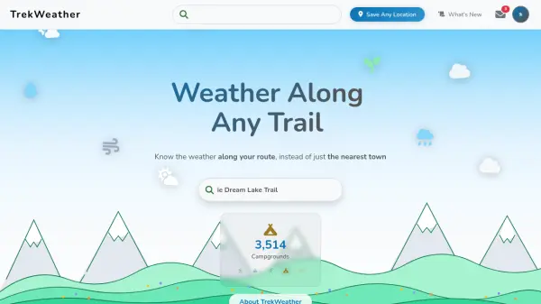 TrekWeather Know the weather along your route, instead of just the nearest town
TrekWeather provides hyper-local weather forecasts for outdoor adventures, offering AI-powered summaries, point forecasts along trails, and multi-model comparisons to help hikers, skiers, and campers plan safely.
- Freemium
-
9
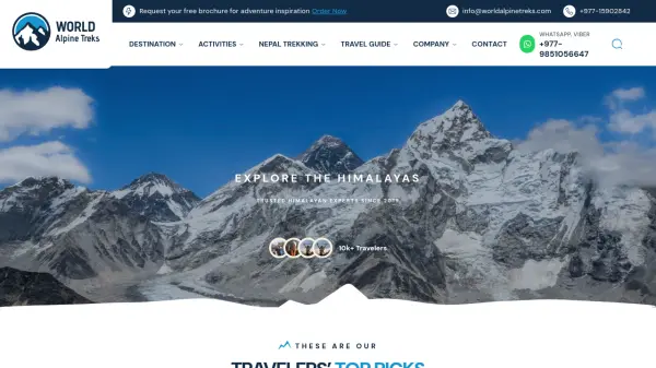 World Alpine Treks Trusted Himalayan Experts Since 2019
World Alpine Treks is a premier trekking company specializing in guided adventures across Nepal, Tibet, and Bhutan, offering customized itineraries with expert local guides for unforgettable Himalayan experiences.
- Other
-
10
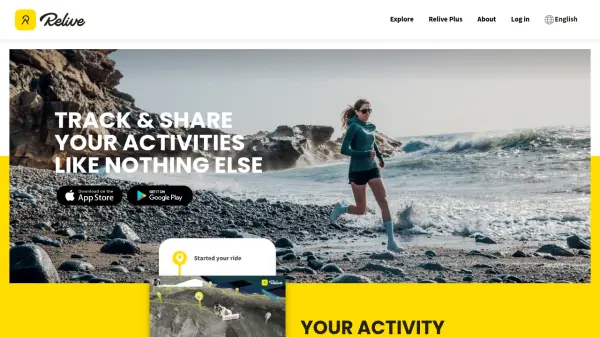 Relive Track & Share Your Activities Like Nothing Else
Relive is an AI-powered platform that transforms outdoor activities into beautiful animated 3D videos and stories, connecting millions of outdoor enthusiasts worldwide.
- Freemium
-
11
 Mapline Geo-Powered Analytics and Mapping for Business Success
Mapline is a geo-intelligent analytics platform that empowers businesses to visualize, optimize, and manage location-based data through powerful mapping, routing, BI, and scheduling solutions.
- Free Trial
-
12
 inRoute Plan your perfect route, then navigate it hands-free in app.
inRoute is an AI-powered route planning and navigation app that optimizes routes between multiple stops based on factors like weather, elevation, and curviness, with hands-free voice-guided navigation for iOS devices and CarPlay.
- Freemium
- From 5$
Didn't find tool you were looking for?