GeoSurvey - Alternatives & Competitors
Professional Land Surveying and 3D Laser Scanning Services
GeoSurvey provides comprehensive land surveying and 3D laser scanning services with over 10,000 surveys completed since 1996, serving commercial, construction, and residential markets.

Ranked by Relevance
-
1
 GeoAI Harnessing AI and Spatial Data for Innovation
GeoAI combines Artificial Intelligence with geospatial engineering to analyze location-based data, satellite imagery, and advanced analytics for smarter decision-making in various industries.
- Contact for Pricing
-
2
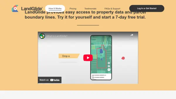 LandGlide Comprehensive Parcel Data and Property Line Mapping Anywhere
LandGlide offers advanced parcel data and property line mapping with GPS location, providing access to over 157 million U.S. parcel records on desktop and mobile devices.
- Freemium
- From 10$
-
3
 Pix4D Professional photogrammetry and 3D mapping solutions for digitizing reality
Pix4D provides advanced photogrammetry software and cloud solutions for creating accurate 2D maps, 3D models, and point clouds from drone and terrestrial imagery, serving industries like surveying, construction, agriculture, and public safety.
- Freemium
-
4
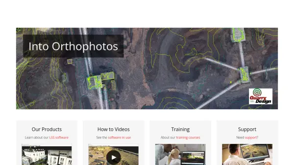 LSS Industry Leading Digital Terrain Modelling System for Surveying and Design
LSS is a comprehensive land survey and terrain modelling software used for converting point clouds into orthophotos, generating DTMs from LiDAR, and performing topographical surveys, design, and visualisation tasks.
- Other
-
5
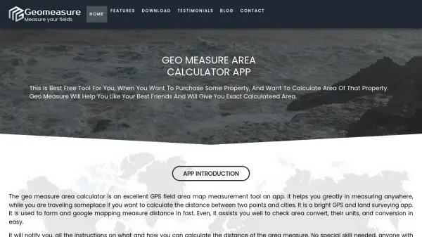 Geomeasure Measure Your Fields with Precision
Geomeasure is a free GPS field area map measurement tool that calculates property areas and distances using manual, GPS, and free-hand methods for real estate, agriculture, and land surveying.
- Free
-
6
 Terrain Navigator Pro Generating work flow efficiency and increasing return on investment for today’s mapping professionals
Terrain Navigator Pro is a comprehensive mapping platform that combines topographic maps and aerial photos with powerful mapping tools for creating, editing, and synchronizing map projects across desktop, web, and mobile devices.
- Free Trial
-
7
 3DF Zephyr The Complete Photogrammetry Solution
3DF Zephyr is an all-in-one photogrammetry software suite that automatically reconstructs 3D models from photos and videos, supporting various cameras and sensors for applications in surveying, construction, cultural heritage, and more.
- Other
-
8
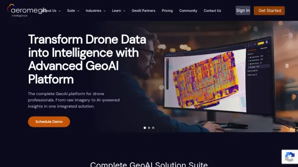 AeroMegh Transform Drone Data into Intelligence with Advanced GeoAI Platform
AeroMegh is a comprehensive GeoAI platform for drone professionals, offering photogrammetry, AI-powered object detection, and geospatial analytics in one integrated solution.
- Freemium
- From 47$
-
9
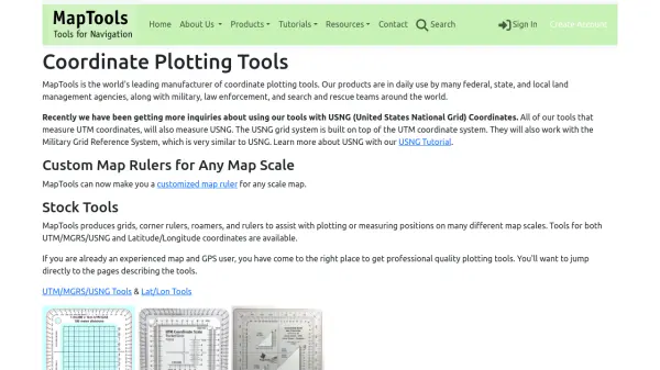 MapTools Professional coordinate plotting tools for mapping and navigation
MapTools manufactures precision coordinate plotting tools for UTM, MGRS, USNG, and Latitude/Longitude systems, used by military, government agencies, and outdoor professionals worldwide.
- Other
-
10
 Mapit GIS Mobile GIS for asset collection, GPS surveys, and field data management
Mapit GIS is a professional mobile GIS platform for iOS and Android that enables offline-first data collection, GPS surveys, and field data management with support for GeoPackage, multiple export formats, and sub-metre GNSS accuracy.
- Other
-
11
 Garudalytics Solving real-world challenges using GeoAI.
Garudalytics provides Geospatial AI (GeoAI) solutions, extracting insights from location data to address challenges across various sectors.
- Contact for Pricing
Didn't find tool you were looking for?