Top AI tools for civil engineering
-
 Iris Roads Know your roads. Protect your assets.
Iris Roads is an AI-powered infratech solution that automates road maintenance and asset management through specialized cameras, flexible dashboards, and intelligent data processing for public and private sector organizations.
- Contact for Pricing
-
 Runopt AI-powered software for land development delivering cost-effective, sustainable designs in minutes.
Runopt is an AI-powered software transforming land development by integrating design optimization for cost-effective, sustainable designs. It streamlines site analysis, grading, drainage, and reporting for civil engineers and developers.
- Contact for Pricing
-
 HydroCAD The competitive edge in hydrology & hydraulics software since 1986
HydroCAD is a Computer Aided Design tool for modeling stormwater runoff, offering a wide range of hydrology and hydraulics capabilities to speed up engineering workflows ten-fold.
- Other
-
 Rocscience Advanced geotechnical engineering software for slope stability, excavation design, and foundation analysis
Rocscience provides comprehensive 2D and 3D geotechnical engineering software solutions for civil, mining, and geotechnical engineers, offering integrated tools for slope stability analysis, excavation design, settlement calculations, and rockfall hazard assessment.
- Contact for Pricing
-
 ASDIP Structural Software Intuitive and Reliable Structural Engineering Software
ASDIP is a comprehensive structural engineering software suite that enables engineers to analyze, design, optimize, and check structural members efficiently with compliance to latest US and Canadian codes.
- Free Trial
-
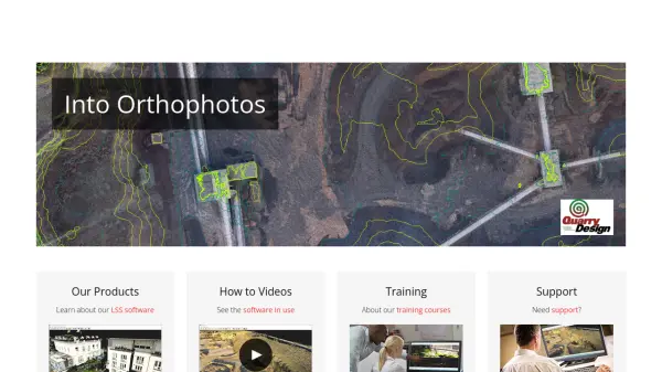 LSS Industry Leading Digital Terrain Modelling System for Surveying and Design
LSS is a comprehensive land survey and terrain modelling software used for converting point clouds into orthophotos, generating DTMs from LiDAR, and performing topographical surveys, design, and visualisation tasks.
- Other
-
 GeoSurvey Professional Land Surveying and 3D Laser Scanning Services
GeoSurvey provides comprehensive land surveying and 3D laser scanning services with over 10,000 surveys completed since 1996, serving commercial, construction, and residential markets.
- Contact for Pricing
-
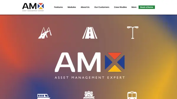 Asset Management eXpert Market-leading configurable asset management software for infrastructure operations
Asset Management eXpert is a configurable asset management software solution that supports business objectives through powerful features, flexible functions, and mobile technology for physical and infrastructure asset management.
- Contact for Pricing
Explore More Tags
-
compliance tools 77 tools
-
GDPR 57 tools
-
legal research 48 tools
-
productivity 236 tools
-
document interaction 31 tools
-
content analysis 116 tools
-
audio transcription 72 tools
-
video transcription 81 tools
-
meeting minutes 20 tools
Didn't find tool you were looking for?