 ReddRadar
Online GIS platform - AI tools
-
 NextGIS All-in-one GIS platform for maps and geodata
NextGIS provides comprehensive GIS solutions with web, mobile, desktop, and server tools for creating, managing, and sharing spatial data and interactive maps.
- Contact for Pricing
-
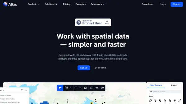 atlas.co Work with spatial data — simpler and faster
Atlas is a browser-based GIS platform designed to simplify the visualization, analysis, and building of spatial data workflows and web applications.
- Freemium
- From 23$
-
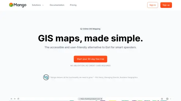 MangoMap Powerful, Affordable Online GIS Mapping for Professionals
MangoMap is an easy-to-use, cost-effective online GIS mapping platform designed for professionals who need robust mapping capabilities without the complexity or high licensing fees of traditional solutions.
- Paid
- From 79$
-
 Datum Workstation Advanced Geospatial Analysis and Image Processing Software
Datum Workstation delivers professional GIS, image processing, and terrain analysis solutions, integrating advanced tools for managing, visualizing, and publishing geospatial data on Windows and MacOS platforms.
- Contact for Pricing
-
 Geospatial Cloud Serv Advanced geospatial data serving and microservices for comprehensive GIS solutions
Geospatial Cloud Serv provides a powerful self-hosted solution for advanced geospatial data serving, microservices, and APIs, compatible with various GIS platforms and mobile applications.
- Pay Once
-
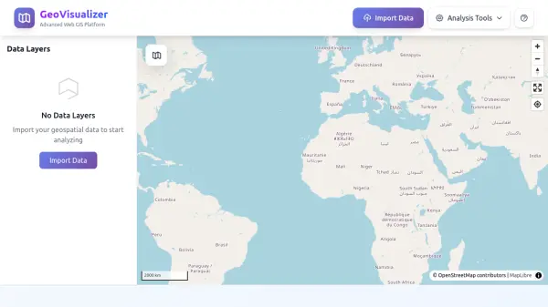 GeoVisualizer Advanced Web GIS Platform for Spatial Data Analysis
GeoVisualizer is an advanced web GIS platform that allows users to import, analyze, and export geospatial data with a variety of spatial analysis tools including buffer analysis, dissolve, centroids, grid generation, and more.
- Free
-
 PolicyMap Comprehensive Mapping & Data Analytics For Smarter Decision-Making
PolicyMap is a cloud-based platform offering extensive data mapping, visualization, and analytics tools, empowering users to make impactful, data-driven decisions across sectors such as government, non-profit, finance, academic, and healthcare.
- Contact for Pricing
-
 mapify.ai No-code platform to process real-time geospatial data and generate real-time insights
Mapify is a no-code platform that enables users to process real-time geospatial data, define business rules, and create interactive maps and applications for IoT and location-based solutions without coding.
- Free Trial
-
 Terrain Navigator Pro Generating work flow efficiency and increasing return on investment for today’s mapping professionals
Terrain Navigator Pro is a comprehensive mapping platform that combines topographic maps and aerial photos with powerful mapping tools for creating, editing, and synchronizing map projects across desktop, web, and mobile devices.
- Free Trial
Featured Tools
Join Our Newsletter
Stay updated with the latest AI tools, news, and offers by subscribing to our weekly newsletter.
Explore More
-
AI lyrics generator for musicians 47 tools
-
create ai affiliate articles wordpress 19 tools
-
responsive web design tools 25 tools
-
AI tool for influencer discovery 43 tools
-
Network security and cybersecurity monitoring tools 60 tools
-
technical SEO optimization platform 41 tools
-
AI automation tool for cross-platform tasks 60 tools
-
Custom AI agent development for business 37 tools
-
SMTP service for email marketing 12 tools
Didn't find tool you were looking for?