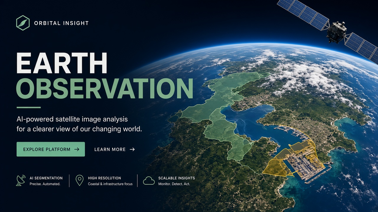
Satellites photograph the entire planet daily. Human analysts cannot scroll every pixel. AI for satellite image analysis automates segmentation, change detection, and object counting across Sentinel open data, Planet high-frequency cubes, and Maxar sub-meter scenes. The same workflow maps flood extent after hurricanes, flags illegal deforestation, and estimates container throughput at major ports for supply chain intelligence. This guide walks analysts from data source selection through model deployment, ground truth verification, and ethics of orbital surveillance. Practitioners combining AI image generator tooling for augmentation with AI research geospatial models will find a reproducible pipeline without vendor-specific lock-in rhetoric.
Satellite Data Sources
Choose imagery by resolution, revisit frequency, spectral bands, and licensing: Copernicus Sentinel for free multispectral baselines, Planet for daily medium resolution, Maxar for tasking sub-meter commercial scenes. Each constellation trades cost against clarity. Flood mapping often needs 10-meter Sentinel-2 optical plus radar from Sentinel-1 through clouds. Port monitoring may need 50-centimeter commercial imagery to count individual cranes and containers.
| Source | Typical resolution | Revisit | Best for |
|---|---|---|---|
| Sentinel-2 (Copernicus) | 10 m optical | ~5 days (combined constellation) | Land cover, agriculture, broad flood mapping |
| Sentinel-1 (SAR) | 5-20 m radar | 6-12 days | Cloud-penetrating flood water extent |
| Planet Scope / SkySat | 3-50 cm (product dependent) | Daily to intraday | Change alerts, construction, ports |
| Maxar (WorldView) | ~30-50 cm | Tasked on demand | High-confidence asset identification |
Model Types for Earth Observation
Segmentation models label pixels (water, forest, urban); object detectors place boxes on ships and vehicles; change detection models compare embeddings or diffs between dates. Foundation models pretrained on global imagery (Prithvi, SatMAE, and similar research checkpoints) reduce labeled data needs when fine-tuned on regional AOI chips.
Semantic Segmentation
U-Net and DeepLab variants remain workhorses for flood water and crop type maps. Multispectral input stacks more than RGB: near-infrared helps vegetation; shortwave infrared helps moisture. Normalize per sensor because Sentinel and Planet radiometry differ. Export GeoTIFF masks aligned to source CRS to avoid GIS offset bugs.
Change Detection
Change detection compares two dates over the same footprint using pixel diffs, siamese networks, or transformer embeddings to flag new roads, cleared forest, or expanded water. Registration error mimics false change: co-register scenes to sub-pixel accuracy before inference. Cloud shadows cause false positives; mask clouds with QA bands or separate cloud models.
Object Detection and Counting
YOLO-class detectors trained on ships, aircraft, and solar panels support maritime and energy analytics. Supply chain teams count containers in port yards by detecting box stacks plus heuristic density models. Sub-meter imagery is usually required; 10-meter Sentinel cannot count containers reliably.
End-to-End Workflow for Analysts
- Define AOI and question: Flood extent in district X, deforestation in reserve Y, weekly container index at port Z.
- Ingest and preprocess: Download STAC catalogs, clip tiles, atmospheric correction if needed, store COG format on object storage.
- Label or transfer learn: Annotate chips in QGIS-linked tools or fine-tune foundation models with sparse labels.
- Train and validate: Hold out geographic regions, not random tiles, to detect spatial leakage.
- Run inference at scale: Batch on GPU cluster or vendor platform APIs with tiling and overlap blending.
- Post-process vectors: Polygonize masks, apply minimum mapping unit rules, attach metadata.
- Human review queue: Flag low-confidence tiles for analyst sign-off before client delivery.
AI research teams may augment scarce labels with synthetic floods or building footprints from controlled image generation, but synthetic data must match sensor noise statistics or models fail in production.
Verification with Ground Truth
Satellite AI outputs require ground truth from field surveys, drone orthophotos, government reference layers, or trusted third-party audits before high-stakes decisions. Model confidence heatmaps are not evidence in court or humanitarian resource allocation without independent checks.
- Stratified sampling: Validate across seasons and illumination angles, not one clear day.
- Confusion matrices by class: Water vs shadow confusion dominates flood metrics.
- Temporal consistency: Require persistence across two dates before alerting deforestation.
- Provenance logs: Store model version, weights hash, and input scene IDs for reproducibility.
Supply Chain and Port Monitoring
Commercial imagery plus object detection estimates port congestion and container yard fill rates as leading indicators for logistics and commodity markets. Ethics and contract law matter: some jurisdictions restrict surveillance of critical infrastructure. Analysts should document permissible use under imagery license terms and local regulations.
Combine satellite signals with AIS ship tracks and customs data where available. AI detections alone misread parked empty containers as backlog. Human economists interpret model outputs; models supply timely pixels.
Ethics of Surveillance from Orbit
Orbital imagery enables public good (disaster response, climate monitoring) and harmful uses (tracking vulnerable populations, selling intelligence without consent). Teams should publish use policies, avoid identifying individuals at resolution where faces or license plates appear, and reject contracts that violate human rights norms. Dual-use supply chain analytics should anonymize aggregate statistics in public reports.
STAC Catalogs and Preprocessing Discipline
SpatioTemporal Asset Catalog (STAC) metadata standardizes scene discovery across Sentinel, Planet, and commercial providers; AI pipelines should query STAC APIs before downloading petabytes of redundant tiles. Filter by cloud cover percentage, acquisition date, and off-nadir angle in the catalog layer. Preprocessing includes orthorectification, pansharpening when merging panchromatic and multispectral bands, and conversion to cloud-optimized GeoTIFF (COG) for efficient partial reads during tiled inference.
Disaster Response Playbook
Flood mapping workflows prioritize Sentinel-1 SAR for immediate water extent under cloud cover, then refine with Sentinel-2 when skies clear. Analysts publish shapefiles to humanitarian portals with uncertainty polygons, not binary alerts alone. Model versions used in disasters should be frozen and cited because retraining mid-crisis introduces inconsistent boundaries between daily updates. Human reviewers overlay known levees and drainage from local GIS layers models never saw in training.
Scaling Inference Infrastructure
Country-scale inference tiles on overlapping grids; blend predictions in overlap zones with smooth weights to avoid seam artifacts visible in downstream maps. GPU batch size trades memory against throughput; CPU post-processing polygonizes masks and must not become the bottleneck. Managed geospatial ML platforms exist, but reproducible teams containerize GDAL, rasterio, and PyTorch versions in the same Docker image CI tests before disaster season. Log scene IDs and model hashes per output layer for audit trails NGOs and insurers request.
Deforestation and Carbon Monitoring
Change detection alerts feed carbon credit and enforcement programs. False positives erode trust with indigenous communities wrongly flagged for clearing. Combine multi-date persistence rules with human interpretation before field raids or fines. Satellite AI detects canopy loss pixels; ground teams confirm species and legal land tenure. Ethics review boards should approve AOIs affecting vulnerable populations before automation goes live.
Frequently Asked Questions
| Question | Short answer |
|---|---|
| Is Sentinel data free for commercial AI? | Copernicus Sentinel data is generally free with license terms; verify for your product. |
| What resolution for flood mapping? | 10 m optical plus SAR; higher res for urban flash floods in narrow channels. |
| How to reduce cloud false positives? | Cloud masks, SAR fusion, multi-date voting. |
| Can one model global? | Foundation models help; regional fine-tuning still needed for accuracy. |
| Do I need GIS skills? | Yes for CRS, tiling, and vector delivery; ML alone is insufficient. |
| Are satellite AI outputs admissible legally? | Jurisdiction-specific; chain of custody and expert testimony usually required. |
Planet vs Maxar for analysts?
Planet offers cadence for monitoring; Maxar offers detail for identification. Budget and question dictate choice; many workflows blend free Sentinel baselines with commercial tasking on hotspots.
Client Delivery and SLA Framing
Commercial satellite analytics contracts should specify cloud cover thresholds, minimum mapping unit, expected error bounds by land cover class, and human review sampling rates. SLAs tied to satellite revisit may slip during storms; clause force majeure for weather and publish confidence intervals on change alerts. Integrate outputs with client GIS via WMS or vector tile endpoints rather than raw GeoTIFF email attachments. Teams using synthetic imagery for training must disclose augmentation in model cards when regulators or insurers audit flood or deforestation products derived from orbital AI.
Training Label Efficiency for Geospatial Models
Fully supervised country-scale labels are prohibitively expensive. Weak labels from OpenStreetMap roads and building footprints bootstrap pretraining; analysts refine with small hand-labeled chips over error hotspots. Active learning loops send uncertain tiles to labelers first. Foundation models reduce required labels by half or more on transfer tasks when geographic domain shift is modest. When shift is large (tropical to arctic), budget more regional labels regardless of model size. Pair labeling spend with research grants or NGO partnerships where humanitarian missions fund reference data collection. Seasonal crop phenology changes spectral signatures; revalidate models each growing season in agricultural contracts.
Accuracy vs Resolution Tradeoff
Higher resolution commercial imagery improves container counting but increases tile count and GPU hours linearly. Analysts should define minimum resolution per task in statements of work: ten-meter Sentinel suffices for regional flood extent; fifty-centimeter Maxar may be mandatory for crane-level port analytics. Downscaling commercial scenes before inference wastes license fees; upscaling Sentinel beyond native resolution invents fake detail. Match model input size to physical ground sample distance and retrain when switching constellations mid-contract.
How do commercial licenses affect ML training?
Planet and Maxar licenses restrict redistribution of derived tiles and sometimes model weights trained on their imagery. Read terms before open-sourcing weights; Sentinel Copernicus licenses are more permissive but still require attribution and compliance with security rules in some regions. Contract lawyers should review derivative work clauses before training foundation models on commercial scenes for resale analytics products.
When should analysts add SAR beyond optical?
Add Sentinel-1 SAR when cloud persistence exceeds your SLA, during monsoon seasons, or for water extent under canopy where optical reflectance misleads classifiers. Fuse SAR and optical embeddings in late fusion models rather than early stacking without radiometry training.
Which open tools help satellite ML?
Rasterio, GeoPandas, torchgeo, and sentinel-hub Python clients cover much of the stack; foundation model weights often ship on Hugging Face with geospatial fine-tune notebooks. Pin versions before operational seasons.
How many analysts per automated km²?
Ratio depends on stakes: humanitarian flood maps may review ten percent sampled tiles; enforcement maps may require near full review until model F1 exceeds internal thresholds. Automate sampling, not judgment.
Conclusion
AI satellite image analysis workflows start with the right constellation, apply segmentation and change detection with geographic validation, and finish with ground truth before action. Sentinel, Planet, and Maxar each fill different niches from humanitarian floods to port supply signals. Ethics and licensing bound dual-use intelligence. Build reproducible pipelines, document model provenance, and pair ML with GIS analysts. Operational maturity means frozen model versions during crises and explicit SLA language on cloud cover and revisit delays. Never automate enforcement actions from orbital alerts without human review and local legal clearance. Explore research-grade foundation models and careful synthetic augmentation, but never ship orbital alerts without human verification on the ground.