
What is National Weather Service?
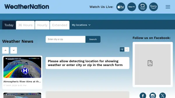
The National Weather Service (NWS) is the primary source for weather data, forecasts, and warnings in the United States. It offers detailed local and national weather information, including graphical forecasts, aviation and marine weather, river and lake conditions, hurricane tracking, and severe weather alerts. The service provides real-time updates on active weather events, such as storms, blizzards, and floods, with specific warnings and advisories to ensure public safety.
Users can access a wide range of meteorological resources, including radar and satellite imagery, climate predictions, space weather reports, and certified weather data. The platform supports customization by location, allowing individuals to receive forecasts for their city, state, or ZIP code. Educational materials, safety guidelines, and information on programs like Weather-Ready Nation and SKYWARN are also available to help communities prepare for and respond to weather-related hazards.
Features
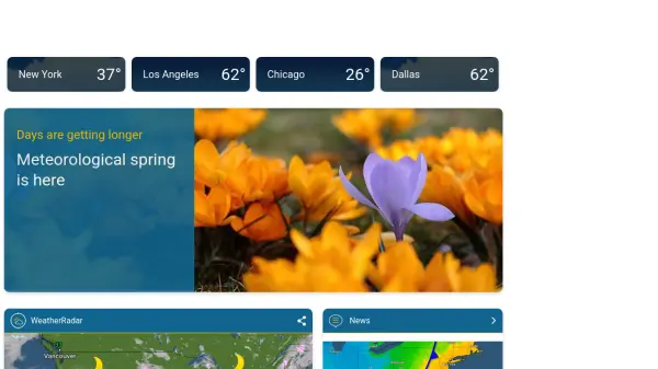
- Local Forecasts: Detailed weather predictions by city, state, or ZIP code
- Severe Weather Alerts: Real-time warnings for blizzards, storms, floods, and other hazards
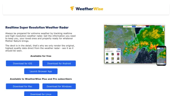
- Radar and Satellite Imagery: Enhanced and standard radar views with satellite data
- Aviation and Marine Weather: Specialized forecasts for aviation and marine conditions
- Climate and Space Weather: Long-range climate predictions and space weather reports
Use Cases
- Checking daily weather forecasts for personal planning
- Monitoring severe weather alerts for safety during storms
- Accessing aviation weather data for flight planning
- Reviewing marine conditions for boating or fishing
- Studying climate trends and historical weather data