 ReddRadar

GreenCityGIS - Alternatives & Competitors
Geo-Smart Solutions for High-Performance Parks and Recreation Management
GreenCityGIS provides AI-powered geospatial tools and services for optimizing parks and recreation management through smart mapping, data collection, and analytics.
Ranked by Relevance
-
1
 NextGIS All-in-one GIS platform for maps and geodata
NextGIS provides comprehensive GIS solutions with web, mobile, desktop, and server tools for creating, managing, and sharing spatial data and interactive maps.
- Contact for Pricing
-
2
 GeoAI Harnessing AI and Spatial Data for Innovation
GeoAI combines Artificial Intelligence with geospatial engineering to analyze location-based data, satellite imagery, and advanced analytics for smarter decision-making in various industries.
- Contact for Pricing
-
3
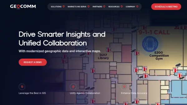 GeoComm GIS Solutions for Enhanced Emergency Response and Public Safety
GeoComm delivers advanced GIS mapping software and services designed to improve emergency response, school safety, and data management for public safety agencies and educational institutions.
- Contact for Pricing
-
4
 Geospatial Cloud Serv Advanced geospatial data serving and microservices for comprehensive GIS solutions
Geospatial Cloud Serv provides a powerful self-hosted solution for advanced geospatial data serving, microservices, and APIs, compatible with various GIS platforms and mobile applications.
- Pay Once
-
5
 Cleverciti AI-Powered Smart Parking Solutions for Cities and Organizations
Cleverciti leverages industry-leading AI technology to provide real-time parking space detection and guidance, optimizing parking operations and enhancing urban mobility.
- Contact for Pricing
-
6
 MapMyGarden Garden management application - by gardeners, for gardeners!
MapMyGarden is an AI-powered garden management application that helps users plan and manage garden layouts using points, lines, and shapes while keeping track of plant and plot information.
- Other
-
7
 Geospatial Analytics Real Estate Decision Intelligence Software
Geospatial Analytics delivers advanced real estate management technologies and analytical platform solutions, enabling portfolio optimization and informed decision-making through data-driven insights.
- Contact for Pricing
-
8
 Mapline Geo-Powered Analytics and Mapping for Business Success
Mapline is a geo-intelligent analytics platform that empowers businesses to visualize, optimize, and manage location-based data through powerful mapping, routing, BI, and scheduling solutions.
- Free Trial
-
9
 Snappy Mapper Democratising Geospatial Data
Snappy Mapper simplifies spatial data collection for non-technical users, enabling field teams to create GIS-ready data without specialist tools or training.
- Freemium
- From 190$
-
10
 Mapit GIS Mobile GIS for asset collection, GPS surveys, and field data management
Mapit GIS is a professional mobile GIS platform for iOS and Android that enables offline-first data collection, GPS surveys, and field data management with support for GeoPackage, multiple export formats, and sub-metre GNSS accuracy.
- Other
-
11
 Parking Logix Solutions for Safer, Smarter Parking Lots
Parking Logix provides AI-powered parking solutions including occupancy detection, real-time space guidance, data analytics, and wayfinding tools to optimize parking operations and enhance driver experience.
- Contact for Pricing
-
12
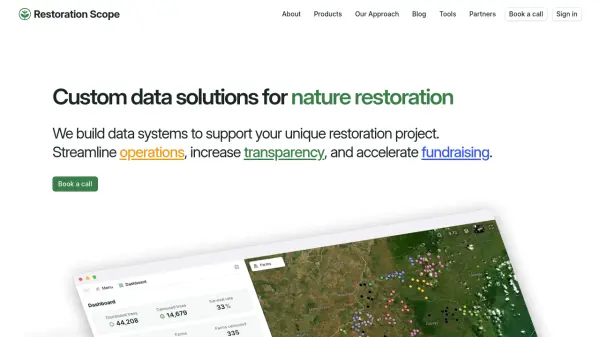 Restoration Scope Custom data solutions for nature restoration
Restoration Scope builds data systems to support unique nature restoration projects, streamlining operations, increasing transparency, and accelerating fundraising through integrated data solutions.
- Contact for Pricing
-
13
 Greenspark Verified Impact. Visible Growth.
Greenspark is an AI-powered sustainability platform that helps businesses and individuals integrate climate action into customer journeys through automated impact tracking and data-backed storytelling.
- Free Trial
-
14
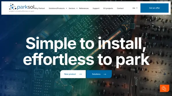 Parksol Simple to install, effortless to park
Parksol provides comprehensive parking management solutions including guidance systems, counting, signage, and monitoring software for various sectors worldwide.
- Contact for Pricing
-
15
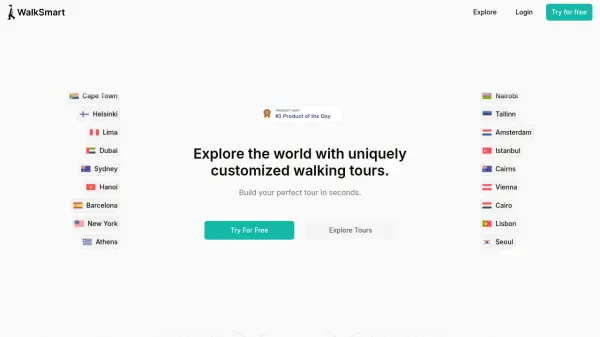 WalkSmart Customized Walking Tours in Seconds
WalkSmart creates uniquely customized walking tours based on your preferences. Explore cities worldwide with personalized routes and audio guidance.
- Free
-
16
 PolicyMap Comprehensive Mapping & Data Analytics For Smarter Decision-Making
PolicyMap is a cloud-based platform offering extensive data mapping, visualization, and analytics tools, empowering users to make impactful, data-driven decisions across sectors such as government, non-profit, finance, academic, and healthcare.
- Contact for Pricing
-
17
 SmartWays AI-Driven Tour Optimization for Field Service Efficiency
SmartWays is an advanced AI-powered tour-planning solution that optimizes fleet routes, enhances field force productivity, and streamlines organizational operations for businesses of any size.
- Paid
- From 130$
-
18
 Parknav The most precise parking solution powered by AI
Parknav utilizes AI and big data to provide real-time on-street and off-street parking availability predictions and restriction information across over 1000 cities.
- Freemium
- From 5$
-
19
 GPS Insight Comprehensive Fleet and Field Service Management Solution
GPS Insight provides end-to-end AI-powered fleet and field service management, offering real-time tracking, smart camera monitoring, and compliance solutions to enhance operational efficiency and safety.
- Contact for Pricing
-
20
 TouchTrails The route planner at your fingertip
TouchTrails is an AI-powered route planning tool that enables users to create, track, and navigate trails for hiking, running, and cycling with intuitive map-based drawing and GPX file support.
- Other
-
21
 FitMap Push hard. Recover well. Stay present. It's not just about workouts; it's a way of moving, feeling, and showing up better every day.
FitMap offers comprehensive fitness programs including personal training, mobility, and performance enhancement with expert trainers and world-class facilities.
- Contact for Pricing
-
22
 ParkMobile Park. Pay. Go. The smarter way to park.
ParkMobile is a smart parking app that allows users to find, pay for, and reserve parking spots easily, while offering business solutions for parking management and expense tracking.
- Free
-
23
 Garudalytics Solving real-world challenges using GeoAI.
Garudalytics provides Geospatial AI (GeoAI) solutions, extracting insights from location data to address challenges across various sectors.
- Contact for Pricing
-
24
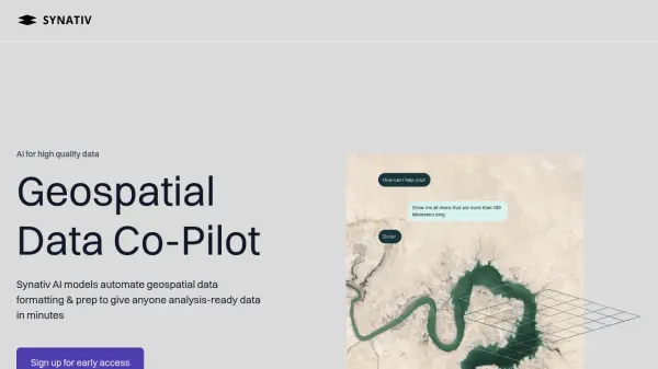 Synativ Geospatial Data Co-Pilot
Synativ utilizes AI to automate geospatial data formatting and preparation, delivering analysis-ready data in minutes. It significantly reduces manual labor and human error in geospatial data processing.
- Contact for Pricing
-
25
 Picterra Reliable GeoAI solution for sustainability, compliance, transparency, accountability, monitoring, and verification.
Picterra is a GeoAI platform that enables users to build and deploy custom AI models for geospatial imagery analysis. It supports various data types and offers solutions for multiple industries, facilitating scalable and collaborative geospatial analysis.
- Contact for Pricing
-
26
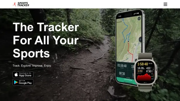 Sports Tracker Track. Explore. Improve. Enjoy.
Sports Tracker is a comprehensive mobile app for tracking over 100 sports and activities, offering detailed analytics, route planning with heatmaps, and integration with Apple Watch and health accessories.
- Other
-
27
 GolfLogix Immersive 3D Golf GPS & Course Strategy App
GolfLogix is a state-of-the-art golf GPS app offering immersive 3D virtual reality views, real-time flyovers, advanced shot tracking, and green maps to help golfers strategize and improve their game on any course.
- Freemium
- From 6$
-
28
 FlyPix AI Geospatial AI Platform for Analyzing Earth's Surface
FlyPix AI is a geospatial analysis platform that uses AI to detect and analyze objects in images. Train custom AI models and analyze geospatial data tied to coordinates.
- Freemium
- From 50$
-
29
 Smart Spaces Your space, but smarter
Smart Spaces is an AI-powered workplace platform that transforms building management through mobile control, IoT integration, and intelligent automation for landlords, property managers, and employees.
- Contact for Pricing
-
30
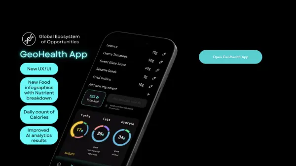 GeoHealth App Personal AI health assistant with analytics, monitoring, and game mechanics
GeoHealth App is a personal AI health assistant that provides medical document analysis, food tracking, health monitoring, and gamified quests to improve user wellness through data-driven insights.
- Freemium
-
31
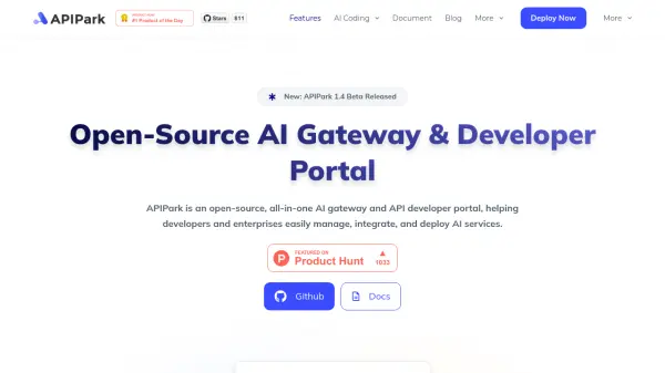 APIPark Open-Source AI Gateway & Developer Portal for Seamless AI Service Management
APIPark is an open-source platform that provides comprehensive AI gateway and API developer portal solutions, enabling developers and enterprises to easily manage, integrate, and deploy AI services across multiple models.
- Other
-
32
 SpatialPoint Location Intelligence for Powerful Business Decisions
SpatialPoint provides AI-powered location intelligence solutions including mapping, geocoding, address validation, and demographic analysis to solve complex business location challenges.
- Contact for Pricing
-
33
 BikeCompanion Transform your smartphone into a powerful and customizable bike computer
BikeCompanion is an AI-powered cycling app that turns smartphones into advanced bike computers for planning, tracking, and analyzing rides with innovative features like route planning, live segments, group rides, and performance analytics.
- Freemium
- From 3$
-
34
 AgricareAI Your AI Farming Assistant
AgricareAI is an AI-powered farming assistant that helps farmers and gardeners diagnose plant diseases, monitor crop health, predict weather impacts, and receive expert advice through real-time leaf scan technology and soil analysis.
- Other
-
35
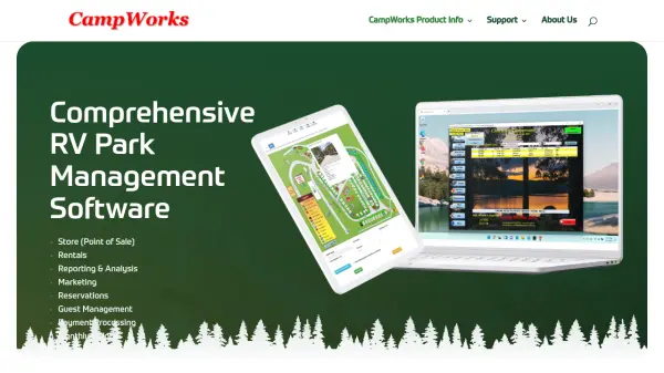 CampWorks Comprehensive RV Park Management Software for Efficient Business Operations
CampWorks is an AI-powered RV park management software offering comprehensive tools for reservations, guest management, payment processing, and business analytics to streamline campground operations.
- Usage Based
- From 50$
-
36
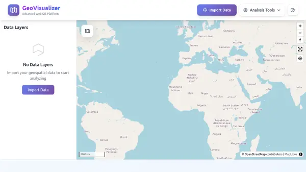 GeoVisualizer Advanced Web GIS Platform for Spatial Data Analysis
GeoVisualizer is an advanced web GIS platform that allows users to import, analyze, and export geospatial data with a variety of spatial analysis tools including buffer analysis, dissolve, centroids, grid generation, and more.
- Free
-
37
 GeoDataSource Comprehensive World Cities Database for Developers and Businesses
GeoDataSource provides a comprehensive world cities database with 3 million city features across 249 countries, offering accurate location data including names, coordinates, and administrative divisions for integration into various database systems.
- Freemium
-
38
 Qweekle Le logiciel de gestion de parcs de loisirs aux fonctions pointues et naturellement connectées
Qweekle est un logiciel de gestion intégré pour parcs de loisirs, offrant des solutions de billetterie, contrôle d'accès, caisse, vente en ligne, planning, marketing et reporting avec un support 7/7.
- Contact for Pricing
Didn't find tool you were looking for?