
Garudalytics - Alternatives & Competitors
Solving real-world challenges using GeoAI.
Garudalytics provides Geospatial AI (GeoAI) solutions, extracting insights from location data to address challenges across various sectors.

Ranked by Relevance
-
1
 GeoAI Harnessing AI and Spatial Data for Innovation
GeoAI combines Artificial Intelligence with geospatial engineering to analyze location-based data, satellite imagery, and advanced analytics for smarter decision-making in various industries.
- Contact for Pricing
-
2
 Unearth AI Modern location solutions powered by AI
Unearth AI offers AI-powered geospatial data analysis tools. Products include Unearth Lite, a ChatGPT-powered location explorer, and Unearth Insights for enterprise geospatial analytics.
- Contact for Pricing
-
3
 Atlas AI The AI Platform for Geospatial Insights
Atlas AI is a geospatial AI platform providing hyperlocal socio-demographic indicators and forecasting tools, empowering data scientists with location intelligence.
- Contact for Pricing
-
4
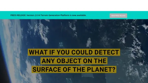
 FlyPix AI Geospatial AI Platform for Analyzing Earth's Surface
FlyPix AI is a geospatial analysis platform that uses AI to detect and analyze objects in images. Train custom AI models and analyze geospatial data tied to coordinates.
- Freemium
- From 50$
-
5
 AeroMegh Transform Drone Data into Intelligence with Advanced GeoAI Platform
AeroMegh is a comprehensive GeoAI platform for drone professionals, offering photogrammetry, AI-powered object detection, and geospatial analytics in one integrated solution.
- Freemium
- From 47$
-
6
 Picterra Reliable GeoAI solution for sustainability, compliance, transparency, accountability, monitoring, and verification.
Picterra is a GeoAI platform that enables users to build and deploy custom AI models for geospatial imagery analysis. It supports various data types and offers solutions for multiple industries, facilitating scalable and collaborative geospatial analysis.
- Contact for Pricing
-
7
 GeoSpy Unlock the Power of AI Image intelligence
GeoSpy is an AI-powered platform that converts image data into precise GPS location predictions. It offers advanced location intelligence solutions for various organizations globally.
- Contact for Pricing
-
8
 mapify.ai No-code platform to process real-time geospatial data and generate real-time insights
Mapify is a no-code platform that enables users to process real-time geospatial data, define business rules, and create interactive maps and applications for IoT and location-based solutions without coding.
- Free Trial
-
9
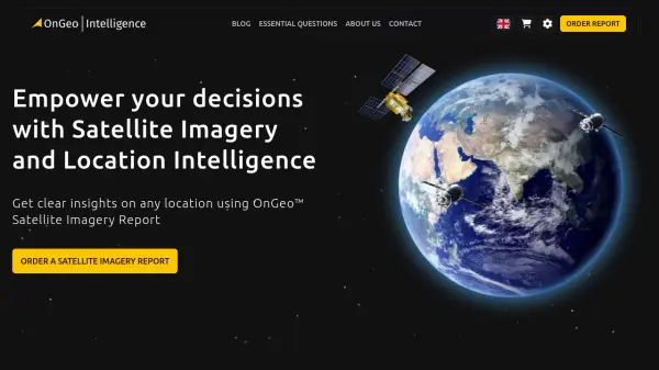 OnGeo Intelligence Empower your decisions with Satellite Imagery and Location Intelligence
OnGeo Intelligence provides AI-enhanced satellite imagery reports with global coverage, delivering clear PDF insights and data packages for various professional applications without requiring technical skills or subscriptions.
- Pay Once
-
10
 Geospatial Analytics Real Estate Decision Intelligence Software
Geospatial Analytics delivers advanced real estate management technologies and analytical platform solutions, enabling portfolio optimization and informed decision-making through data-driven insights.
- Contact for Pricing
-
11
 EOfactory Actionable geo-intelligence to ensure sustainability
EOfactory provides actionable geo-intelligence solutions using AI and ML for various industries, focusing on sustainability and science-based decisions. Access satellite imagery, process data, and visualize insights through custom dashboards.
- Free Trial
-
12
 Blackshark.ai Real-time Semantic 3D Digital Twin of the Planet
Blackshark.ai generates a real-time, accurate, semantic, and photorealistic 3D digital twin of the entire planet using machine learning and satellite imagery. This technology supports various applications, including simulation, visualization, and geospatial analytics.
- Contact for Pricing
-
13
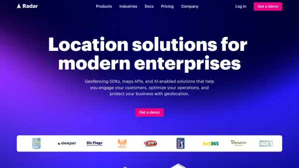 Radar Location solutions for modern enterprises with AI-enabled geolocation
Radar provides a comprehensive Location OS platform with geofencing SDKs, maps APIs, and AI-enabled solutions for customer engagement, fraud protection, and operational optimization across multiple industries.
- Contact for Pricing
Didn't find tool you were looking for?