
Ferrata Guide Uptime Monitor
Your via ferrata companion for finding, climbing, and rating via ferratas worldwide.
Last 30 Days Performance
Average Uptime
0%
Based on 30-day monitoring period
Average Response Time
0ms
Mean response time across all checks
Daily Status Overview
Hover for detailsRelated Uptime Monitors
Explore uptime status for similar tools that also have monitoring enabled.
-
 Operational
Guided Peaks
Connect directly with expert mountaineering guides worldwide
Guided Peaks is an AI-powered platform that connects climbers with hundreds of certified mountaineering guides across 25 countries, offering detailed expedition comparisons, guide reviews, and curated mountain information.
Last checked: 2 months ago View Status -
 Operational
Footpath
Plan your next adventure in seconds
Footpath is an AI-powered route planning app that enables users to create custom routes with distance measurement, elevation analysis, and turn-by-turn navigation using offline topographic maps.
Last checked: 2 months ago View Status -
 Operational
Hiking Project
Discover your next hike with detailed maps shared by hikers like you
Hiking Project is a free community-driven platform that helps outdoor enthusiasts discover hiking trails worldwide, featuring detailed maps, trail information, and user-generated content.
Last checked: 2 months ago View Status -
 Operational
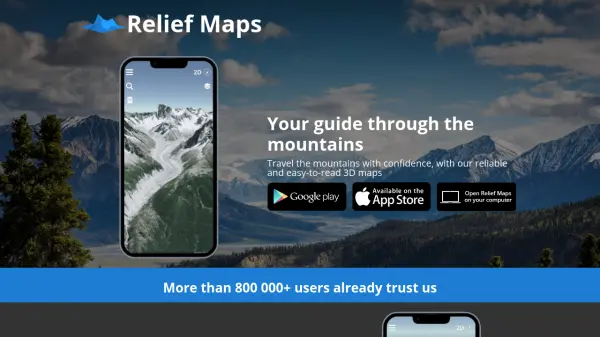
Relief Maps
Your guide through the mountains
Relief Maps is a reliable and easy-to-read 3D mapping application for mountain travel, offering route creation, a database of over 1 million routes, and live tracking features.
Last checked: 2 months ago View Status -
 Operational
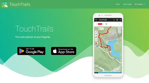
TouchTrails
The route planner at your fingertip
TouchTrails is an AI-powered route planning tool that enables users to create, track, and navigate trails for hiking, running, and cycling with intuitive map-based drawing and GPX file support.
Last checked: 2 months ago View Status -
 Operational
PeakVisor
3D Maps & Real-Time Peak Identification for Mountain Explorers
PeakVisor is an advanced outdoor navigation app offering 3D maps, real-time mountain identification, and offline capabilities, designed for hikers, climbers, and outdoor enthusiasts worldwide.
Last checked: 2 months ago View Status