
PeakVisor Uptime Monitor
3D Maps & Real-Time Peak Identification for Mountain Explorers
Last 30 Days Performance
Average Uptime
0%
Based on 30-day monitoring period
Average Response Time
0ms
Mean response time across all checks
Daily Status Overview
Hover for detailsHistorical Performance
Jan-2026
100% uptime
Monthly Uptime
100%
Monthly Response Time
648ms
Daily Status Breakdown
Dec-2025
99.86% uptime
Monthly Uptime
99.86%
Monthly Response Time
643ms
Daily Status Breakdown
Nov-2025
100% uptime
Monthly Uptime
100%
Monthly Response Time
645ms
Daily Status Breakdown
Oct-2025
100% uptime
Monthly Uptime
100%
Monthly Response Time
650ms
Daily Status Breakdown
Sep-2025
99.85% uptime
Monthly Uptime
99.85%
Monthly Response Time
655ms
Daily Status Breakdown
Aug-2025
99.71% uptime
Monthly Uptime
99.71%
Monthly Response Time
679ms
Daily Status Breakdown
Jul-2025
100% uptime
Monthly Uptime
100%
Monthly Response Time
666ms
Daily Status Breakdown
Related Uptime Monitors
Explore uptime status for similar tools that also have monitoring enabled.
-
 Operational
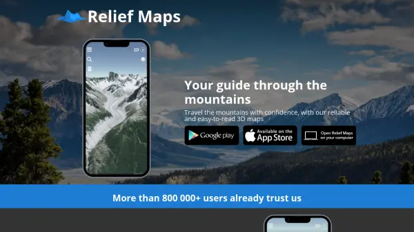
Relief Maps
Your guide through the mountains
Relief Maps is a reliable and easy-to-read 3D mapping application for mountain travel, offering route creation, a database of over 1 million routes, and live tracking features.
Last checked: 2 months ago View Status -
 Operational
Footpath
Plan your next adventure in seconds
Footpath is an AI-powered route planning app that enables users to create custom routes with distance measurement, elevation analysis, and turn-by-turn navigation using offline topographic maps.
Last checked: 2 months ago View Status -
 Operational
Guided Peaks
Connect directly with expert mountaineering guides worldwide
Guided Peaks is an AI-powered platform that connects climbers with hundreds of certified mountaineering guides across 25 countries, offering detailed expedition comparisons, guide reviews, and curated mountain information.
Last checked: 2 months ago View Status -
 Operational
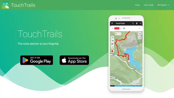
TouchTrails
The route planner at your fingertip
TouchTrails is an AI-powered route planning tool that enables users to create, track, and navigate trails for hiking, running, and cycling with intuitive map-based drawing and GPX file support.
Last checked: 2 months ago View Status -
 Operational
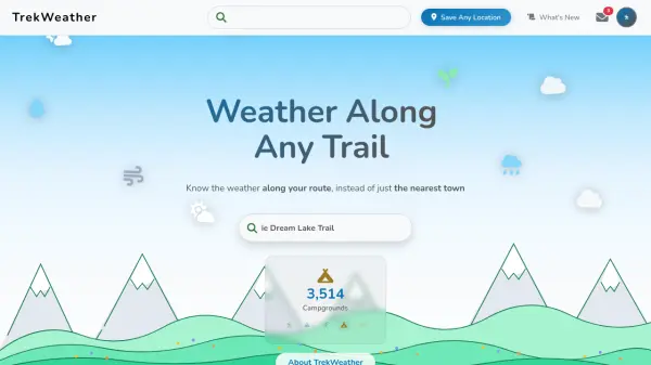
TrekWeather
Know the weather along your route, instead of just the nearest town
TrekWeather provides hyper-local weather forecasts for outdoor adventures, offering AI-powered summaries, point forecasts along trails, and multi-model comparisons to help hikers, skiers, and campers plan safely.
Last checked: 2 months ago View Status -
 Operational
Hiking Project
Discover your next hike with detailed maps shared by hikers like you
Hiking Project is a free community-driven platform that helps outdoor enthusiasts discover hiking trails worldwide, featuring detailed maps, trail information, and user-generated content.
Last checked: 2 months ago View Status