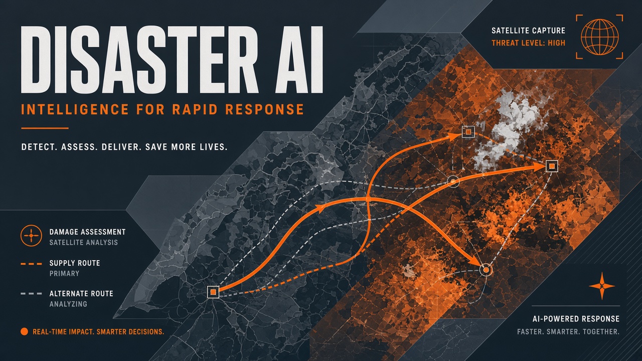
After an earthquake, responders need to know which neighborhoods lost structural integrity before trucks route aid. After a cyclone, debris volume estimates shape clearance priorities. Artificial intelligence now assists satellite damage mapping, supply routing suggestions, and multilingual transcription of field radio traffic. None of this replaces incident commanders, paramedics, or community leaders. The realistic promise is faster situational awareness when data latency and language barriers otherwise stall coordination. This guide covers crisis use cases, latency traps, trust building with first responders, multilingual workflows, documented failure modes, and governance patterns for teams deploying AI automation alongside AI transcription in humanitarian settings.
Where Does AI Help During Disaster Response?
Operational AI in disasters clusters around geospatial damage assessment, logistics optimization, social media and call-center triage, and real-time translation of voice and text reports from affected populations. Each use case shares a constraint: decisions must survive missing data, stressed users, and infrastructure collapse.
| Use case | Example systems | Responder value |
|---|---|---|
| Building damage mapping | UNOSAT DISHA, Microsoft HASTE | Prioritize search, shelter, and rubble routes |
| Supply routing | Humanitarian logistics optimizers | Allocate finite trucks and warehouses |
| Field report translation | AI transcription plus MT stacks | Bridge dialects and international teams |
| Social signal triage | NLP classifiers on crisis hashtags | Surface unmet needs posts miss |
UN Global Pulse's DISHA initiative, developed with Google Research and implemented through UNOSAT, entered operational use in late 2025. By early 2026 it supported multiple activations across earthquakes, floods, cyclones, and complex emergencies. Hurricane Melissa response in Jamaica processed thousands of square kilometers and scored hundreds of thousands of buildings, with similarity to manual assessments reported between 0.84 and 0.94 in post-hoc comparisons. Microsoft's HASTE platform lets non-machine-learning analysts produce per-building damage maps from post-disaster satellite scenes, supporting more than thirty real-world events since 2023.
How Does the HASTE Workflow Operate?
HASTE offers two analyst-facing methods inside one browser interface. The segmentation path asks users to draw training polygons on damaged and intact buildings in a post-disaster scene, trains a small semantic segmentation model on that single image, and propagates labels across the full scene before joining results to Overture or other building footprints. The embedding path encodes each footprint with a pretrained vision foundation model, fits logistic regression from a handful of human-labeled examples, and scores the remainder in seconds. Both approaches target the first-day problem: no matched pre-event image and no ML engineering staff on site. Open-source release on GitHub lets national disaster agencies customize footprints and export GeoPackages for ArcGIS or QGIS workflows responders already trust.
Why Does Data Latency Still Block AI Impact?
AI damage models cannot run until satellites capture cloud-free imagery, footprints align to pre-event baselines, and download links reach analysts with power and bandwidth. The first 72 hours after a major earthquake are dominated by communications blackouts, not GPU shortages. Models trained on past disasters assume matched before-and-after pairs; fresh events may lack comparable pre-event scenes or may differ in building materials, creating domain shift. HASTE explicitly targets post-disaster-only workflows because matched pairs rarely exist on day one.
Latency also hits social and voice data. AI transcription of emergency calls fails when cell towers fail. Offline-first capture on satellite phones, later batch transcription, beats real-time pipelines that assume 5G. Humanitarian teams should design AI automation around store-and-forward patterns, not consumer-app uptime expectations.
How Do Agencies Build Trust with First Responders?
Trust grows when AI outputs arrive with confidence layers, named model versions, explicit unknowns, and co-design with incident commanders before crises occur. Fire chiefs and NGO logistics leads reject black-box heatmaps that contradict ground truth. Successful deployments embed GIS officers in model training reviews, run tabletop exercises with synthetic damage layers, and publish error stories alongside success metrics.
- Co-locate AI analysts inside emergency operations centers during activations.
- Deliver GeoPackage or shapefile exports compatible with existing tools, not proprietary dashboards only.
- Flag cloud-covered footprints instead of imputing damage scores.
- Separate preliminary AI tiers from field-validated tiers in legend symbology.
- Maintain human override logs when commanders reject model suggestions.
UNOSAT collaboration with OCHA in Gaza illustrated how granular destruction percentages inform displacement assumptions and service maps when paired with humanitarian cluster coordinators. The AI layer fed planning; local staff validated interpretations. Without that partnership, geospatial products become wallpaper.
How Should Teams Handle Multilingual Crisis Communication?
Disasters routinely cross language boundaries: international aid workers, diaspora volunteers, and affected communities rarely share one mother tongue. Machine translation of SMS hotlines, WhatsApp voice notes, and press conferences accelerates coordination but risks fatal ambiguity on medical dosing, evacuation routes, or legal rights. Workflow best practices:
- Transcribe audio with domain-tuned speech models where available.
- Machine-translate into the operations center lingua franca.
- Route high-stakes messages to human interpreters for confirmation.
- Publish public-facing warnings in locally dominant languages, not English alone.
- Archive originals alongside translations for accountability.
Low-resource languages remain the weak link. Pre-deploy glossaries of disaster vocabulary (storm surge, aftershock, shelter-in-place) into translation memory before hurricane season. Pair AI transcription with community radio partnerships when literacy or connectivity limits text channels.
What Recent Deployments Showed Promise?
Recent activations demonstrate AI damage mapping at national scale when imagery, footprints, and analyst capacity align. Hurricane Melissa response in Jamaica (October 2025) combined DISHA-assisted scoring with debris estimates informing UNDP clearance planning. Venezuela's June 2026 earthquake assessments merged five satellite scenes with Overture Maps footprints and published per-building damage attributes including cloud masks for reviewer transparency. Gaza emergency mapping through UNOSAT supplied OCHA with governorate-level destruction percentages feeding displacement models and cluster coordination maps. Each case paired geospatial AI with humanitarian information management officers who understood local settlement patterns models might misread.
Where Has Hype Exceeded Delivery?
Documented failure modes include overconfident damage polygons in informal settlements, social media classifiers amplifying rumors, autonomous drone swarms blocked by airspace rules, and chatbots dispensing unsafe medical advice to survivors. Informal housing lacks consistent footprints in global building datasets; AI may mark intact tin roofs as destroyed or miss catastrophic interior collapse. Venezuela's June 2026 earthquake assessment combined AI building scores with independent field-validated damage points, explicitly noting cloud attributes and areas outside mapped coverage. That transparency model should be standard, not exceptional.
Early COVID-era chatbots deployed by governments without clinician review misdirected symptomatic callers. Disaster chatbots repeat the pattern when vendors pitch "AI helplines" without integration to official incident command. Robotics and drone delivery demos attract media attention yet stall on battery life, regulation, and maintenance in mud-choked roads. Procurement officers should weight proven manual workflows with modest AI assists over greenfield autonomy projects mid-crisis.
Can AI Draft Situation Reports for Coordinators?
Natural language models can summarize cluster updates, deduplicate redundant bullet points, and translate sitreps between English, Spanish, Arabic, and other operation languages. The output remains a draft until a humanitarian information management officer verifies numbers against primary sources. Automating narrative glue saves hours in the first week of an activation when sleep-deprived staff paste the same statistics into six donor formats. It does not replace verification against warehouse manifests, hospital census feeds, or government fatality counts. Pair sitrep automation with explicit "last verified" timestamps on every numeric claim.
How Does Coordination Work Without Replacing Responders?
Treat AI as a staff function producing draft products for human sign-off: damage maps labeled PRELIMINARY, translation drafts marked UNVERIFIED, routing suggestions shown as options with constraints listed. Incident command systems already separate planning, operations, logistics, and public information. AI fits inside planning and logistics cells, not command authority. Automate document ingestion, deduplicate redundant sitrep paragraphs, and cluster similar aid requests. Do not auto-dispatch ambulances from NLP sentiment scores alone.
After-action reviews should capture when models helped and when commanders ignored them. Feed those reviews into retraining and procurement. Humanitarian data ethics (OCHA principles, ICRC guidance) apply fully: minimize sensitive personal data, secure refugee biometrics, and avoid surveillance creep disguised as needs assessment.
Where Should AI Automation Stop?
Automate ingestion, deduplication, translation drafts, and map generation; do not automate life-safety dispatch, shelter eligibility denials, or public evacuation orders without human authorization. AI automation excels at moving structured data between systems that already trust each other. It fails when policy judgment is novel or politically sensitive. Runbooks should list decision types that always require a named human approver, with audit trails stored in systems responders already use, not experimental chat interfaces.
Frequently Asked Questions
What is the difference between HASTE and DISHA?
HASTE is Microsoft's open-source web platform for analysts to produce building damage maps quickly from post-disaster imagery, emphasizing accessibility for non-ML staff. DISHA is UN Global Pulse's broader initiative; its satellite damage solution partners Google Research with UNOSAT for operational humanitarian activations. Teams may encounter both in large responses with different data portals.
How accurate are AI building damage assessments?
Accuracy varies by disaster type, imagery quality, and urban form. UNOSAT reported high similarity to manual products in some hurricane responses. Independent validations (field points, crowdsourced reports) remain necessary. Treat AI as rapid first pass, not ground truth.
Can volunteer mappers replace AI?
Humanitarian OpenStreetMap Team and similar networks provide indispensable field validation and map features AI footprints miss. AI reduces blank-slate workload; volunteers correct errors and add semantics (clinic hours, road passability). The combination outperforms either alone.
What privacy rules apply to crisis AI?
Collect minimum personal data, restrict access to vulnerable population locations, and align with local data protection law even during emergencies. Publishing precise shelter coordinates can endanger already at-risk groups.
Should agencies pre-position models before disasters?
Yes. Pre-load regional building footprints, test download playbooks on satellite capacity, run interpreter rosters, and sign data-sharing MOUs between NGOs and governments in peacetime. Crisis week is too late to negotiate API keys.
Does humanitarian funding cover AI tools?
Some grants now line-item satellite analysis and translation services, but donors scrutinize recurring license costs versus volunteer capacity. Open-source stacks like HASTE reduce vendor lock-in. Document cost per square kilometer mapped and hours saved in sitrep production to justify renewal.
Should agencies run AI simulations before disasters?
Tabletop exercises with synthetic damage layers expose integration gaps before lives are at stake. Simulate partial cloud cover, corrupted shapefiles, and radio silence scenarios. Pre-crisis simulation beats post-crisis procurement of untested dashboards.
AI for disaster response coordination earns its place when it respects latency, language, and command structures that evolved long before large language models. Use automation to shrink paperwork and map walls faster; keep humans authoritative on who gets help first and how survivors are spoken to.