
Takeout Tools Uptime Monitor
Export Real Location Data from Your Google Maps Saved Places
Last 30 Days Performance
Average Uptime
0%
Based on 30-day monitoring period
Average Response Time
0ms
Mean response time across all checks
Daily Status Overview
Hover for detailsHistorical Performance
Apr-2026
100% uptime
Monthly Uptime
100%
Monthly Response Time
539ms
Daily Status Breakdown
Mar-2026
100% uptime
Monthly Uptime
100%
Monthly Response Time
320ms
Daily Status Breakdown
Related Uptime Monitors
Explore uptime status for similar tools that also have monitoring enabled.
-
 Operational
MapsLeads
The most powerful Google Maps scraper and data extractor for lead generation
MapsLeads is an advanced Google Maps scraper and data extractor that automates lead generation by extracting business data, emails, phone numbers, and contact details from Google Maps with advanced filtering and export tools.
Last checked: 3 months ago View Status -
 Operational
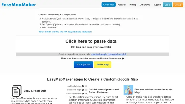
EasyMapMaker
Create Custom Google Maps from Spreadsheet Data in Minutes
EasyMapMaker transforms spreadsheet data into interactive Google Maps with automatic geocoding, clustering, and heat maps for data visualization and analysis.
Last checked: 3 months ago View Status -
 Pending
GMapsScraper AI
Extract 1,000+ Google Maps Leads in Under 3 Minutes
GMapsScraper AI is a free online Google Maps scraper that extracts verified business leads including phone numbers, emails, and addresses instantly without any plugin installation. It delivers organized Excel exports in minutes, replacing hours of manual data collection.
Monitoring starting soon View Status -
 Operational
Maps Scraper AI
Get local leads with the power of AI
Maps Scraper AI extracts business data, including emails and social media profiles, from Google Maps for lead generation and market research without coding.
Last checked: 3 months ago View Status -
 Operational
Atlist
Effortless custom Google Maps creator for web and business.
Atlist is a user-friendly platform for designing, sharing, and embedding custom Google Maps with advanced features for businesses, websites, and data visualization. Build interactive maps without coding or Google Maps API keys required.
Last checked: 3 months ago View Status -
 Operational
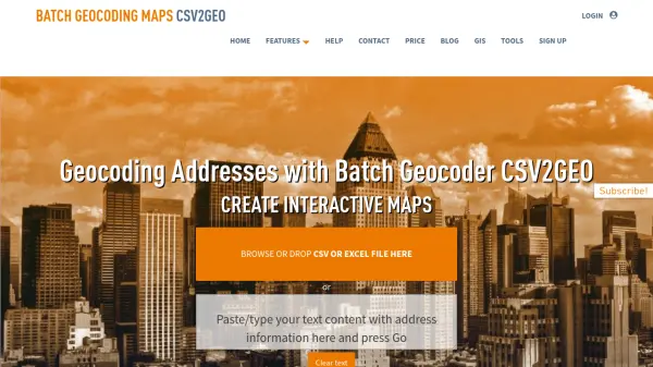
CSV2GEO
Batch Geocoding, Reverse Geocoding, and Interactive Map Creation
CSV2GEO is an online tool for converting addresses to geographic coordinates (latitude/longitude) and vice-versa in bulk. It also enables users to create and publish interactive maps from their data.
Last checked: 3 months ago View Status