AI image geolocation - AI tools
-
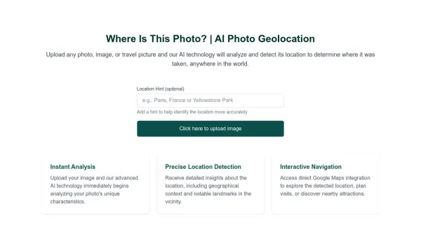 Where Is This Photo? AI Photo Geolocation
Where Is This Photo? uses AI to analyze uploaded photos and determine the geographical location where they were taken.
- Free
-
 Garudalytics Solving real-world challenges using GeoAI.
Garudalytics provides Geospatial AI (GeoAI) solutions, extracting insights from location data to address challenges across various sectors.
- Contact for Pricing
-
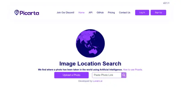 Picarta AI-Powered Image Geolocalization
Picarta is an AI tool that determines the location where a photo was taken. It provides accurate image geolocalization for individuals and businesses.
- Freemium
- From 50$
-
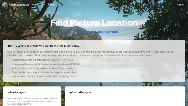 FindPicLocation AI-Powered Photo Location Finder
FindPicLocation is an AI tool that identifies the geographic location where a photo was taken by analyzing visual cues and EXIF data.
- Freemium
- From 9$
-
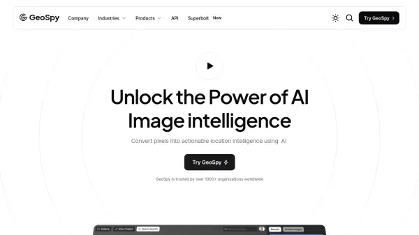 GeoSpy Unlock the Power of AI Image intelligence
GeoSpy is an AI-powered platform that converts image data into precise GPS location predictions. It offers advanced location intelligence solutions for various organizations globally.
- Contact for Pricing
-
 FlyPix AI Geospatial AI Platform for Analyzing Earth's Surface
FlyPix AI is a geospatial analysis platform that uses AI to detect and analyze objects in images. Train custom AI models and analyze geospatial data tied to coordinates.
- Freemium
- From 50$
-
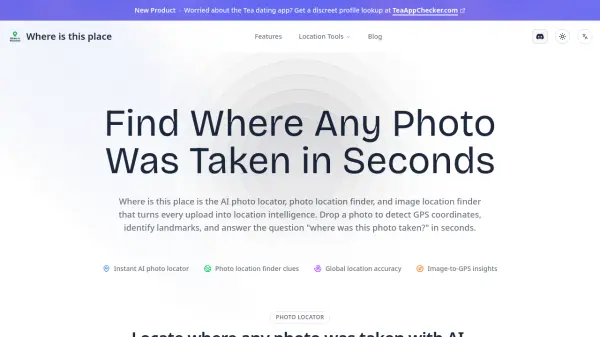 Where is this place AI Photo Locator & Image Location Finder
Where is this place is an AI-powered photo location finder that uses computer vision and metadata analysis to determine where any photo was taken, providing GPS coordinates and landmark identification within seconds.
- Freemium
- From 10$
-
 GeoAI Harnessing AI and Spatial Data for Innovation
GeoAI combines Artificial Intelligence with geospatial engineering to analyze location-based data, satellite imagery, and advanced analytics for smarter decision-making in various industries.
- Contact for Pricing
-
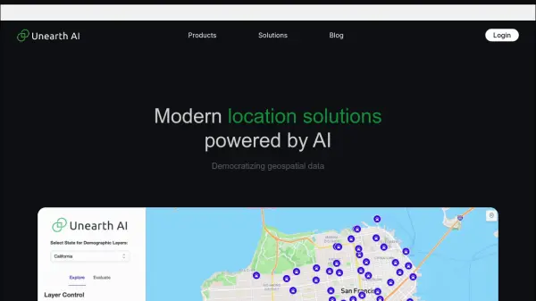 Unearth AI Modern location solutions powered by AI
Unearth AI offers AI-powered geospatial data analysis tools. Products include Unearth Lite, a ChatGPT-powered location explorer, and Unearth Insights for enterprise geospatial analytics.
- Contact for Pricing
-
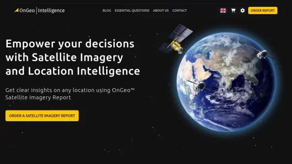 OnGeo Intelligence Empower your decisions with Satellite Imagery and Location Intelligence
OnGeo Intelligence provides AI-enhanced satellite imagery reports with global coverage, delivering clear PDF insights and data packages for various professional applications without requiring technical skills or subscriptions.
- Pay Once
-
 wedetect.ai AI Detector for Instant Image Verification
wedetect.ai is a free tool that instantly analyzes images to determine if they were generated by AI. It helps users avoid scams and identify misinformation across various online scenarios.
- Free
Featured Tools
Join Our Newsletter
Stay updated with the latest AI tools, news, and offers by subscribing to our weekly newsletter.
Explore More
-
AI training platform 34 tools
-
AI tattoo design tool 35 tools
-
AI for sports performance 15 tools
-
US bank statement processing tool 10 tools
-
OCR for invoices to Excel 10 tools
-
ai malware protection tool 25 tools
-
AI-ready data extraction tool 43 tools
-
AI customer data platform for businesses 46 tools
-
vocabulary enhancement tool for academics 22 tools
Didn't find tool you were looking for?