Top AI tools for Mining Engineer
-
 EOfactory Actionable geo-intelligence to ensure sustainability
EOfactory provides actionable geo-intelligence solutions using AI and ML for various industries, focusing on sustainability and science-based decisions. Access satellite imagery, process data, and visualize insights through custom dashboards.
- Free Trial
-
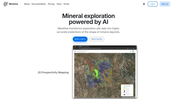 Mineflow Mineral exploration powered by AI
Mineflow is an advanced AI platform that transforms exploration site data into accurate predictions of mineral deposit shapes, specializing in 2D prospectivity mapping and 3D resource modeling for minerals like gold and copper.
- Contact for Pricing
-
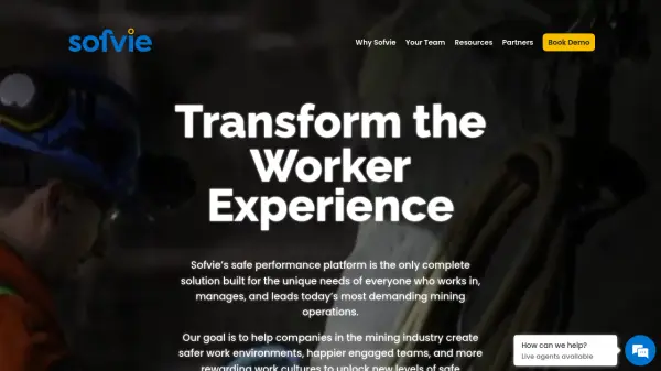 Sofvie Safe Performance Platform for Mining Operations
Sofvie is a safe performance platform designed for mining operations, helping companies create safer work environments, engaged teams, and rewarding work cultures.
- Contact for Pricing
-
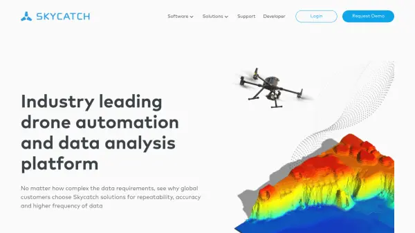 Skycatch Industry leading drone automation and data analysis platform
Skycatch is an enterprise-grade drone automation and data analysis platform that provides scalable solutions for geospatial data collection, processing, and management with high accuracy and efficiency.
- Contact for Pricing
-
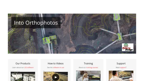 LSS Industry Leading Digital Terrain Modelling System for Surveying and Design
LSS is a comprehensive land survey and terrain modelling software used for converting point clouds into orthophotos, generating DTMs from LiDAR, and performing topographical surveys, design, and visualisation tasks.
- Other
-
 Flai AI-powered point cloud classification platform for LiDAR data processing
Flai is an advanced platform that transforms unstructured LiDAR datasets into actionable insights through AI-powered point cloud classification, offering both cloud-based and self-hosted solutions for efficient data processing.
- Freemium
- From 20$
-
 GOARC Reach the next level of operational excellence and profitability by controlling, managing, and streamlining all actions and risks.
GOARC provides an AI-powered Safety 4.0 platform for industries like Oil & Gas and Manufacturing, offering real-time data visualization and predictive analytics to enhance operational safety and efficiency.
- Contact for Pricing
-
 Rocscience Advanced geotechnical engineering software for slope stability, excavation design, and foundation analysis
Rocscience provides comprehensive 2D and 3D geotechnical engineering software solutions for civil, mining, and geotechnical engineers, offering integrated tools for slope stability analysis, excavation design, settlement calculations, and rockfall hazard assessment.
- Contact for Pricing
-
 Airspy High-performance software-defined radio receivers for professionals and enthusiasts
Airspy offers a line of software-defined radio (SDR) receivers that deliver exceptional reception quality and affordability through innovative software architecture, DSP, and RF techniques.
- Other
-
 AeroMegh Transform Drone Data into Intelligence with Advanced GeoAI Platform
AeroMegh is a comprehensive GeoAI platform for drone professionals, offering photogrammetry, AI-powered object detection, and geospatial analytics in one integrated solution.
- Freemium
- From 47$
-
 Locus FS High-Performance Additives. Formulation Ready.
Locus FS develops bio-enhanced intermediate formulations using glycolipids and proprietary fermentation processes to outperform traditional petrochemicals in specialty chemical applications across agriculture, oil & gas, mining, and industrial sectors.
- Contact for Pricing
-
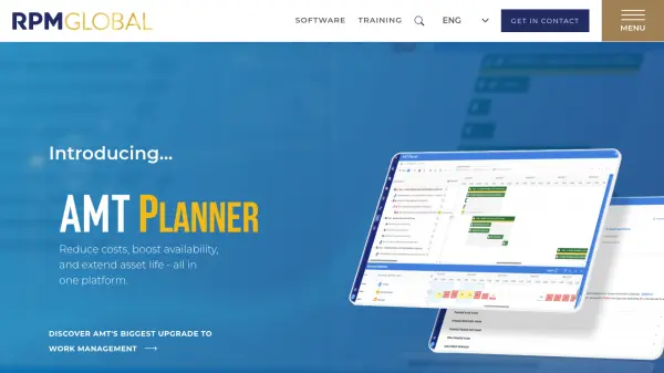 RPMGlobal Advancing the mining industry with enterprise software and professional training solutions.
RPMGlobal provides enterprise mining software and professional training solutions to help mining companies reduce costs, boost availability, and extend asset life through advanced scheduling, simulation, asset management, and finance tools.
- Contact for Pricing
-
 aim.vision Maximum Safety and Productivity for Heavy Equipment
AIM transforms existing heavy equipment into an autonomous fleet, enhancing safety and productivity in mining and construction operations. The AIM Technology Platform offers a plug-and-play solution for various heavy equipment fleets.
- Contact for Pricing
-
 SWMS AI Customized Safety Risk Assessments in Seconds
SWMS AI provides AI-driven safety risk assessments tailored for industries such as construction, mining, and more, enhancing workplace safety compliance and efficiency.
- Freemium
- From 15$
- API
-
 Picterra Reliable GeoAI solution for sustainability, compliance, transparency, accountability, monitoring, and verification.
Picterra is a GeoAI platform that enables users to build and deploy custom AI models for geospatial imagery analysis. It supports various data types and offers solutions for multiple industries, facilitating scalable and collaborative geospatial analysis.
- Contact for Pricing
Featured Tools
Join Our Newsletter
Stay updated with the latest AI tools, news, and offers by subscribing to our weekly newsletter.
Explore More Professions
Didn't find tool you were looking for?