Top AI tools for Civil Engineer
-
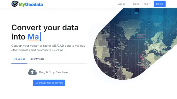 MyGeodata Converter Convert GIS and CAD data online with ease
MyGeodata Converter is an online tool for converting vector and raster GIS/CAD data between various formats and coordinate systems. It supports bulk conversions, CAD formats, and Google Earth output.
- Freemium
- From 10$
-
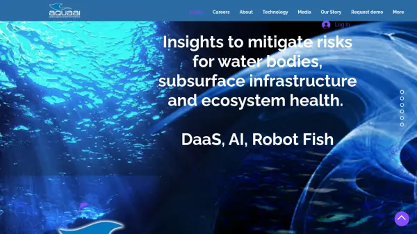 Aquaai Insights to mitigate risks for water bodies, subsurface infrastructure and ecosystem health.
Aquaai provides subsurface data acquisition using fish-like autonomous robots equipped with cameras and sensors. Their Fish-as-a-Service® (FaaS®) model delivers AI-powered insights for water management, infrastructure monitoring, and ecosystem health protection.
- Contact for Pricing
Featured Tools
Join Our Newsletter
Stay updated with the latest AI tools, news, and offers by subscribing to our weekly newsletter.
Didn't find tool you were looking for?